Kachemak Bay
- Saltwater
- Bay
Kachemak Bay
- Saltwater
- Bay
- Sq. miles
- 206
- Boat Ramps
- 1
- Access Points
- 1
- Campsites
- 8
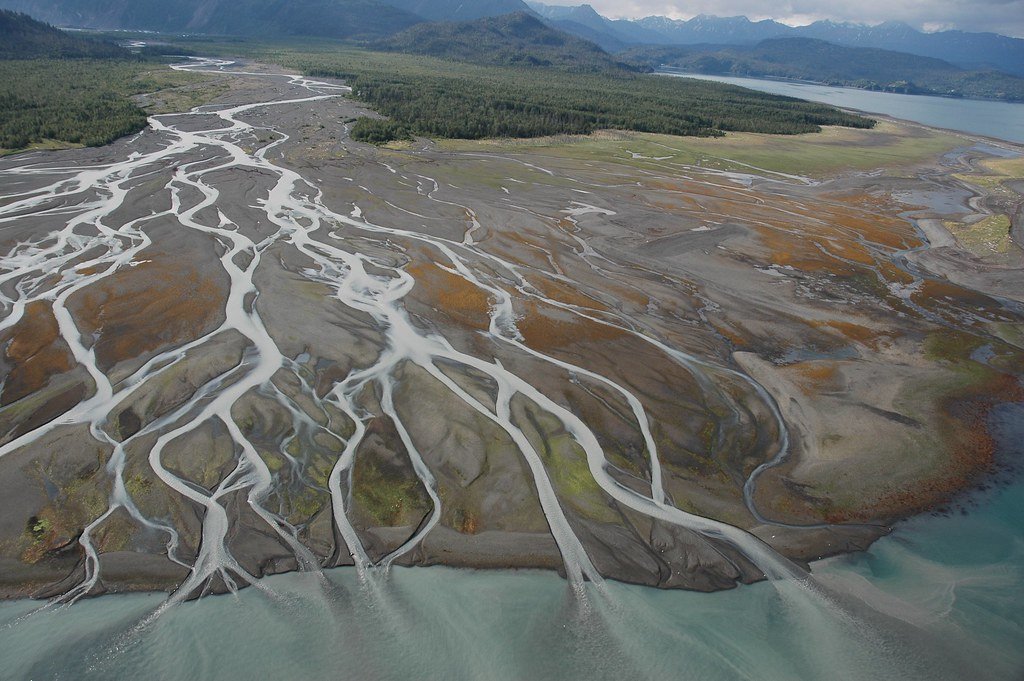
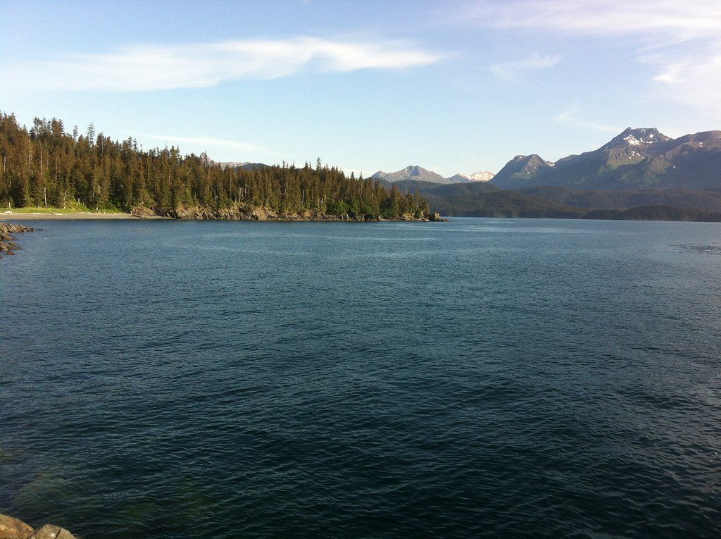
Kachemak Bay is a large, complex saltwater bay on the Kenai Peninsula, featuring a 125-mile mapped water trail that encourages exploration from Homer to Seldovia. The primary access point for paddlers is the Homer Spit, with specific launch sites including the Fishing Hole/Pier One Beach and a small boat launch off Kachemak Drive. A water taxi from Homer is a common and recommended method to reach more remote and protected starting points across the bay, such as Tutka Bay or Petersen Bay. Tides significantly affect the accessibility of launch sites, with low tides often exposing mudflats and making some areas like Mallard Bay only navigable at high tide. The bay's conditions can become dangerous in poor weather, and attention to tides and currents is critical for safety; guided excursions are strongly suggested for those new to the area to ensure a safe trip. The paddling experience is characterized by sheltered waters in numerous coves and lagoons, bordered by rocky shorelines and dense forests, with dramatic views of mountains and glaciers. Wildlife sightings frequently include sea otters, harbor seals, porpoise, several species of whales, and a myriad of seabirds, particularly at Gull Island. The Kachemak Bay Water Trail system provides numerous campsites, some with basic amenities like tent platforms, latrines, and bear-proof food lockers, facilitating multi-day trips. Popular day trips involve a water taxi drop-off for a combination of kayaking and hiking, such as paddling in protected waters followed by a hike to Grewingk Glacier Lake. The season for guided paddling tours typically runs from mid-April through October.
Water access, boat ramps & amenities
Learn how to get on Kachemak Bay. Uncover great paddling access points, boat ramps, and all the facilities you need for an unforgettable day on the water. Some locations shown may border or include private property. Always check property boundaries and applicable regulations before visiting. PaddleWays's Public & Private Land layer can help you plan your access with confidence.
Paddle smarter with real-time insights
Whether you're en route and conditions shift or you're looking for the best spot based on current flows, we enable you to make informed decisions on the fly.








Find Places to Paddle

Over 400,000 Places to Paddle
Every user gets free access to launch points, boat ramps, and public property parcels.


Tides, wind & water conditions (10 day forecast)
On open water, wind and tide matter as much as the weather. See the best times to paddle Kachemak Bay and check the marine forecast before you launch.
Loading tide predictions…
Paddling near Kachemak Bay
Explore Alaska waters
Top paddling waters
Popular Cities
Loading popular cities...
Explore near Kachemak Bay
Access points
Nearby waters
More in Alaska

Smarter Paddling Starts in the App.
Paddleways gives you everything you need to plan smarter, paddle better, and own every trip from first launch to takeout.