Narrow Strait
- Saltwater
- Strait
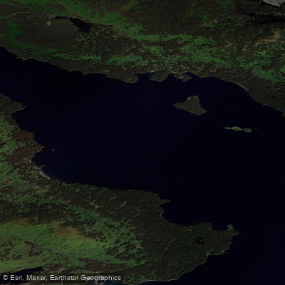
Narrow Strait
- Saltwater
- Strait
- Sq. miles
- 5.5
- Boat Ramps
- 0
- Access Points
- 0
- Campsites
- 0
Narrow Strait, historically known as Porte des Mortes or 'Death's Door', is the significant body of water that gives Door County its name. This strait connects Lake Michigan to Green Bay, running between the Door County mainland and offshore islands. The primary launch point for paddlers is the Garrett Bay kayak launch, which features a rocky limestone beach that can be slippery with algae. There is a $5 launch fee, with free parking available; trailers can be parked on wood chips, but no parking is allowed directly on the launch, though 15-minute loading and unloading is permitted. This launch is for non-motorized craft only. Paddling here can be challenging with northerly winds above 17 mph, indicating significant exposure and potential for rough conditions, especially given the strait's notorious history for treacherous waters.
The paddling routes offer scenic views, geology, and history. One standard route heads out and around Door Bluff, which is suitable for an easy paddle with beautiful views; paddlers with endurance can continue to Ellison Bluff, where the base is only accessible by boat. Another option is to paddle east toward Gils Rock and continue to the Northport ferry crossing to watch larger vessels, with the possibility of crossing to Plum Island or Washington Island. Notable sights include pictographs on the eastern backside of Door Bluff, trilobite burrows in the 400-million-year-old limestone bluffs, and the opportunity to tie up and hike up Door Bluff for expansive views. The area's character is adventurous and rich in natural history, set against a dramatic geological backdrop of ancient sea floors now formed into tall bluffs. Camping is available nearby at Newport State Park.
Water access, boat ramps & amenities
Learn how to get on Narrow Strait. Uncover great paddling access points, boat ramps, and all the facilities you need for an unforgettable day on the water. Some locations shown may border or include private property. Always check property boundaries and applicable regulations before visiting. PaddleWays's Public & Private Land layer can help you plan your access with confidence.
Paddle smarter with real-time insights
Whether you're en route and conditions shift or you're looking for the best spot based on current flows, we enable you to make informed decisions on the fly.








Find Places to Paddle

Over 400,000 Places to Paddle
Every user gets free access to launch points, boat ramps, and public property parcels.


Tides, wind & water conditions (10 day forecast)
On open water, wind and tide matter as much as the weather. See the best times to paddle Narrow Strait and check the marine forecast before you launch.
Loading tide predictions…
Paddling near Narrow Strait
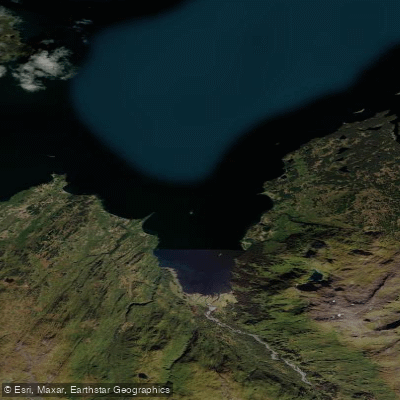
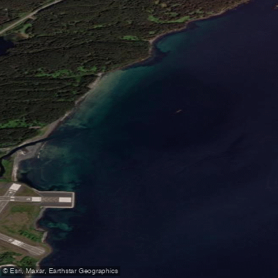
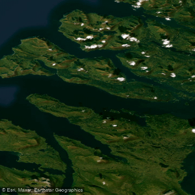
Explore Alaska waters
Top paddling waters
Popular Cities
Loading popular cities...
Explore near Narrow Strait

Smarter Paddling Starts in the App.
Paddleways gives you everything you need to plan smarter, paddle better, and own every trip from first launch to takeout.