Bill Williams River
Bill Williams River
- Boat Ramps
- 0
- Access Points
- 0
- Campsites
- 39
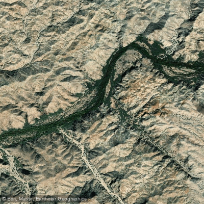
The Bill Williams River is a unique desert waterway in western Arizona, flowing approximately 36 miles from Alamo Dam to its confluence with the Colorado River at Lake Havasu. This short but scenic river cuts through the Buckskin Mountains, offering paddlers a diverse landscape of rock canyons, open desert, and lush riparian areas.
The most popular paddling section runs 20 miles from Alamo Lake to Lake Havasu, featuring class II-III rapids that provide an exciting challenge for intermediate paddlers. The "Toilet Bowl" rapid is a notable obstacle, known for its swirling eddies and tricky hydraulics. While the entire 36-mile stretch can be paddled, most enthusiasts focus on this central section for its best combination of scenery and whitewater.
Flow on the Bill Williams is largely dependent on releases from Alamo Dam, creating a controlled environment that supports an unusually vibrant riparian ecosystem for a desert river. The ideal flow for paddling ranges from 1,000 to 2,000 cubic feet per second (cfs), offering the best conditions for navigation and enjoyment of the rapids.
The river passes through the Bill Williams River National Wildlife Refuge, providing excellent opportunities for wildlife viewing and birdwatching. Paddlers may spot a variety of desert and riparian species, including migratory birds, bighorn sheep, and possibly even beavers or river otters.
Access to the river is primarily via Alamo Dam for put-in and Lake Havasu for take-out. The nearby towns of Parker and Lake Havasu City serve as good bases for river trips, offering amenities and supplies. Alamo Lake State Park, located near the dam, provides camping options for those looking to start their journey early.
Historically, the Bill Williams River served as an important travel corridor for Native Americans and early European explorers. Today, it plays a crucial role in water management and conservation efforts in the Lower Colorado River system.
Safety considerations include checking current flow rates before embarking on a trip, as conditions can change rapidly with dam releases. The desert environment also demands careful planning for sun protection and adequate water supplies. While most paddlers complete the run in a single day, multi-day trips are possible for those wanting to fully explore the river and its surroundings. Overnight camping is available at designated sites within the wildlife refuge, offering a chance to experience the desert's nocturnal beauty.
The Bill Williams River provides a rare opportunity to paddle through a lush oasis in the heart of the Sonoran Desert, making it a prized destination for kayakers and canoeists seeking a unique southwestern adventure.
Water access, boat ramps & amenities
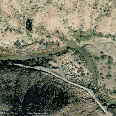
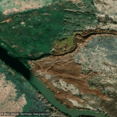
Learn how to get on Bill Williams River. Uncover great paddling access points, boat ramps, and all the facilities you need for an unforgettable day on the water. Some locations shown may border or include private property. Always check property boundaries and applicable regulations before visiting. PaddleWays's Public & Private Land layer can help you plan your access with confidence.
Paddle smarter with real-time insights
Whether you're en route and conditions shift or you're looking for the best spot based on current flows, we enable you to make informed decisions on the fly.








Find Places to Paddle

Over 400,000 Places to Paddle
Every user gets free access to launch points, boat ramps, and public property parcels.


Water and weather conditions (10 day forecast)
See the best times to paddle Bill Williams River and check the forecast before you go.
BILL WILLIAMS RIVER NEAR PARKER, AZ
All Flow Stations


Explore Arizona waters
Top paddling waters
Popular Cities
Loading popular cities...
Explore near Bill Williams River
Access points
Nearby waters
More in Arizona

Smarter Paddling Starts in the App.
Paddleways gives you everything you need to plan smarter, paddle better, and own every trip from first launch to takeout.