Saguaro Lake
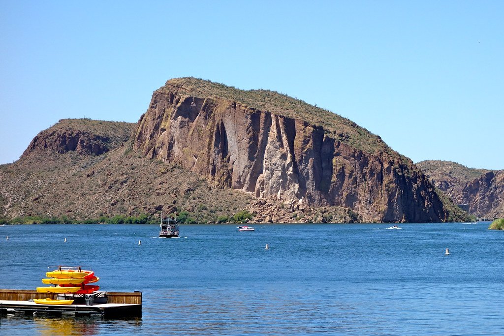
Saguaro Lake
- Boat Ramps
- 2
- Access Points
- 3
- Campsites
- 2
Saguaro Lake offers 22 miles of scenic shoreline for paddling in Arizona's Tonto National Forest. The lake features desert cliffs, canyons, and abundant wildlife, including bald eagles, bighorn sheep, and blue herons. Popular access points include Saguaro Lake Marina and Butcher Jones Recreation Site, both requiring a Tonto National Forest pass for entry.
Paddlers should be aware of motorized boat traffic and potentially challenging wake, especially for novices. A USCG-approved personal flotation device is required for each person, with children under 12 mandated to wear one at all times. Safety leashes are recommended but not legally required.
The lake is suitable for year-round paddling, with water temperatures ranging from the 60s°F in winter to low 80s°F in summer. Sunrise, sunset, and full moon paddles are particularly popular. Summer offers a refreshing escape from the heat, while December brings cooler temperatures.
Butcher Jones Recreation Site provides a sandy beach and grassy picnic area, ideal for families and group outings. Bagley Flat Campground, accessible only by water, offers a more secluded experience with grills, tables, and a courtesy dock. Trail 463 near Butcher Jones leads to a scenic cove, combining hiking and paddling for an adventurous outing.
Saguaro Lake's unique desert oasis setting, surrounded by saguaro cacti and rugged mountains, creates a striking backdrop for paddling adventures. The lake serves as a vital water source in the Sonoran Desert ecosystem, attracting diverse wildlife and providing ample opportunities for nature observation.
Water access, boat ramps & amenities
Learn how to get on Saguaro Lake. Uncover great paddling access points, boat ramps, and all the facilities you need for an unforgettable day on the water. Some locations shown may border or include private property. Always check property boundaries and applicable regulations before visiting. PaddleWays's Public & Private Land layer can help you plan your access with confidence.

Paddle smarter with real-time insights
Whether you're en route and conditions shift or you're looking for the best spot based on current flows, we enable you to make informed decisions on the fly.








Find Places to Paddle

Over 400,000 Places to Paddle
Every user gets free access to launch points, boat ramps, and public property parcels.


Water and weather conditions (10 day forecast)
See the best times to paddle Saguaro Lake and check the forecast before you go.
No forecast data available.
Paddling near Saguaro Lake
Salt River
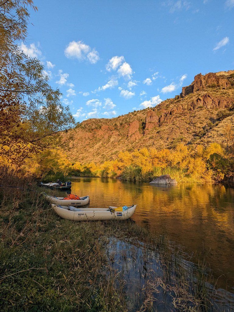
Verde River
Agua Fria River
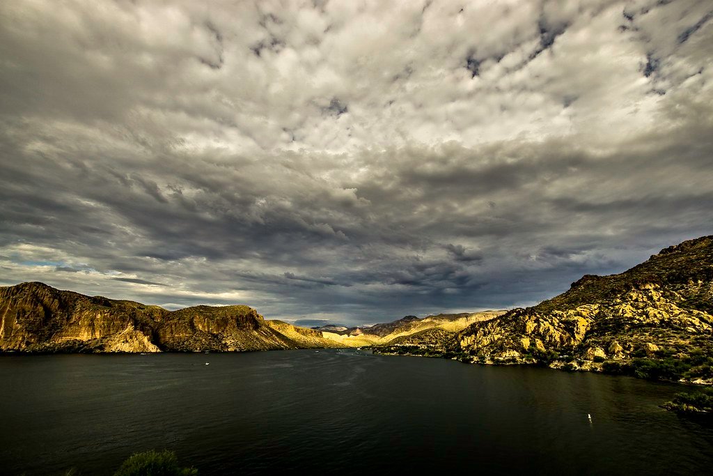
Canyon Lake
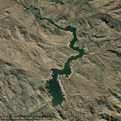
Bartlett Reservoir
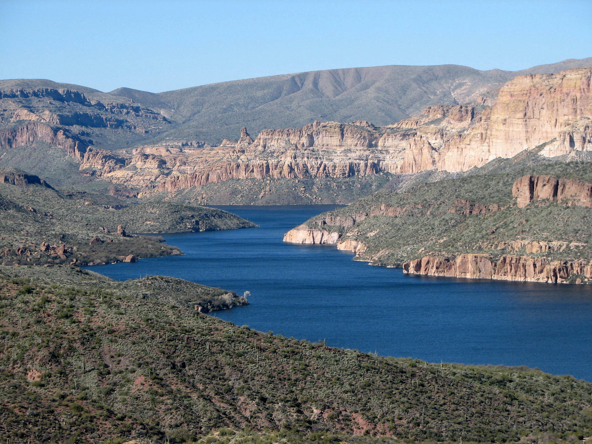
Apache Lake
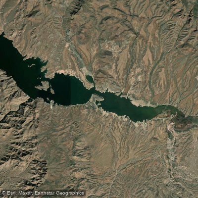
Theodore Roosevelt Lake
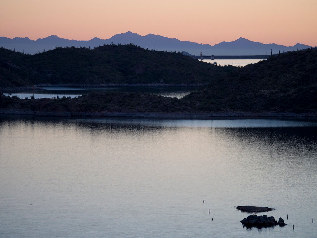
Lake Pleasant
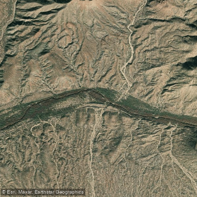
Gila River
Explore Arizona waters
Top paddling waters
Popular Cities
Loading popular cities...
Explore near Saguaro Lake
Access points
Nearby waters
More in Arizona

Smarter Paddling Starts in the App.
Paddleways gives you everything you need to plan smarter, paddle better, and own every trip from first launch to takeout.