Canyon Lake
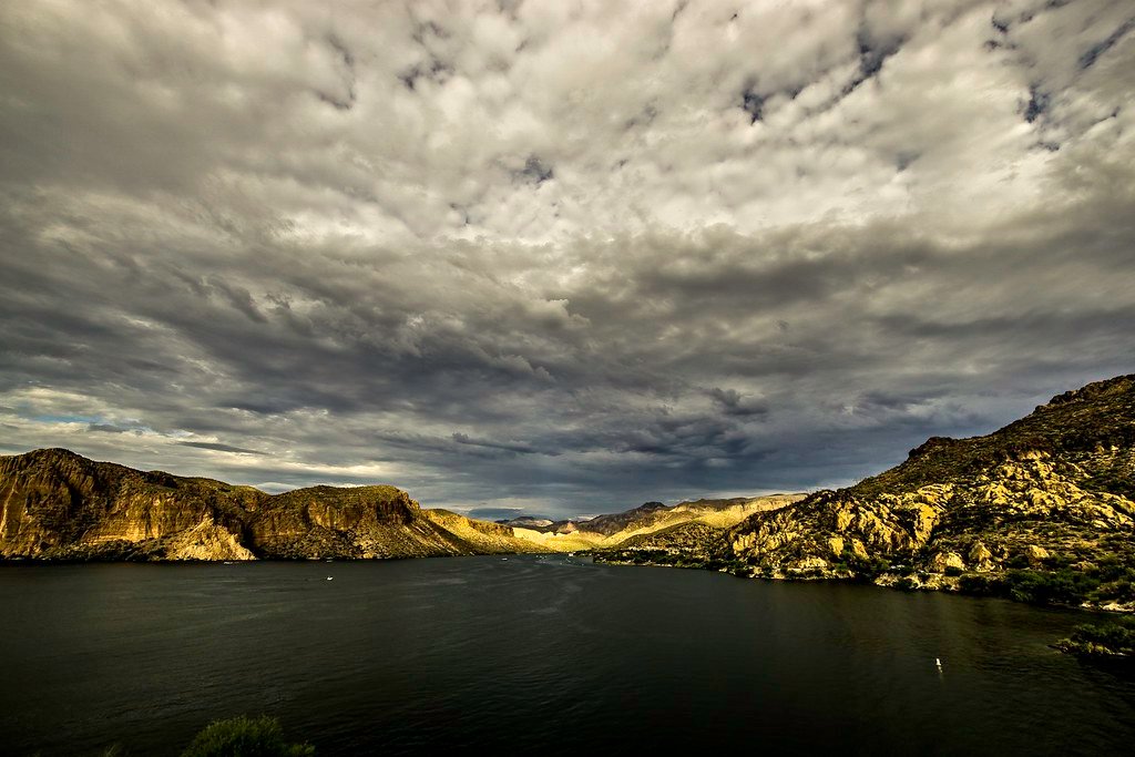
Canyon Lake
- Boat Ramps
- 3
- Access Points
- 4
- Campsites
- 5
Canyon Lake, formed by damming the Salt River, offers 28 miles of shoreline within Arizona's Tonto National Forest. Located less than an hour from Phoenix via the Apache Trail (Route 88), the lake is characterized by dramatic canyon walls and clear waters surrounded by the Superstition Mountains.
Three year-round recreation sites provide paddling access: Acacia Picnic Site, Palo Verde Recreation Site, and Boulder Creek Recreation Site. The Boulder Canyon Recreation Site, with its protected cove near the marina, is particularly suitable for novice paddlers. The Canyon Lake Marina Campground also offers launch access from grassy areas.
La Barge Creek, accessible from Boulder Recreation Area, provides a sheltered paddling route extending about 3/4 mile to a natural turnaround point suitable for picnicking. The creek features narrow passages between canyon walls where swallows nest, and includes areas for cliff jumping and a rope swing.
A Tonto Forest pass is required for all recreation sites. Many coves are designated as no-wake zones, creating calm conditions for paddle craft. The lake tends to be busier on summer weekends, while off-season visits offer more solitude. Early morning starts are recommended during hot summer months.
Wildlife viewing opportunities include bighorn sheep on the cliffs and bald eagles overhead. The lake's distinctive geography includes towering cliffs that change colors from sunrise to sunset, creating striking reflections on the water. The Apache Trail Water Route leads paddlers through narrow canyons with red rock formations.
Facilities at various access points include picnic areas, restrooms, and beaches. Camping is available at multiple locations including The Point Campground, which features a dock and shaded ramadas. The historic Tortilla Flat settlement, located 3 miles east, provides post-paddling refreshments.
Water access, boat ramps & amenities
Learn how to get on Canyon Lake. Uncover great paddling access points, boat ramps, and all the facilities you need for an unforgettable day on the water. Some locations shown may border or include private property. Always check property boundaries and applicable regulations before visiting. PaddleWays's Public & Private Land layer can help you plan your access with confidence.
Paddle smarter with real-time insights
Whether you're en route and conditions shift or you're looking for the best spot based on current flows, we enable you to make informed decisions on the fly.








Find Places to Paddle

Over 400,000 Places to Paddle
Every user gets free access to launch points, boat ramps, and public property parcels.


Water and weather conditions (10 day forecast)
See the best times to paddle Canyon Lake and check the forecast before you go.
No forecast data available.
Paddling near Canyon Lake
Salt River
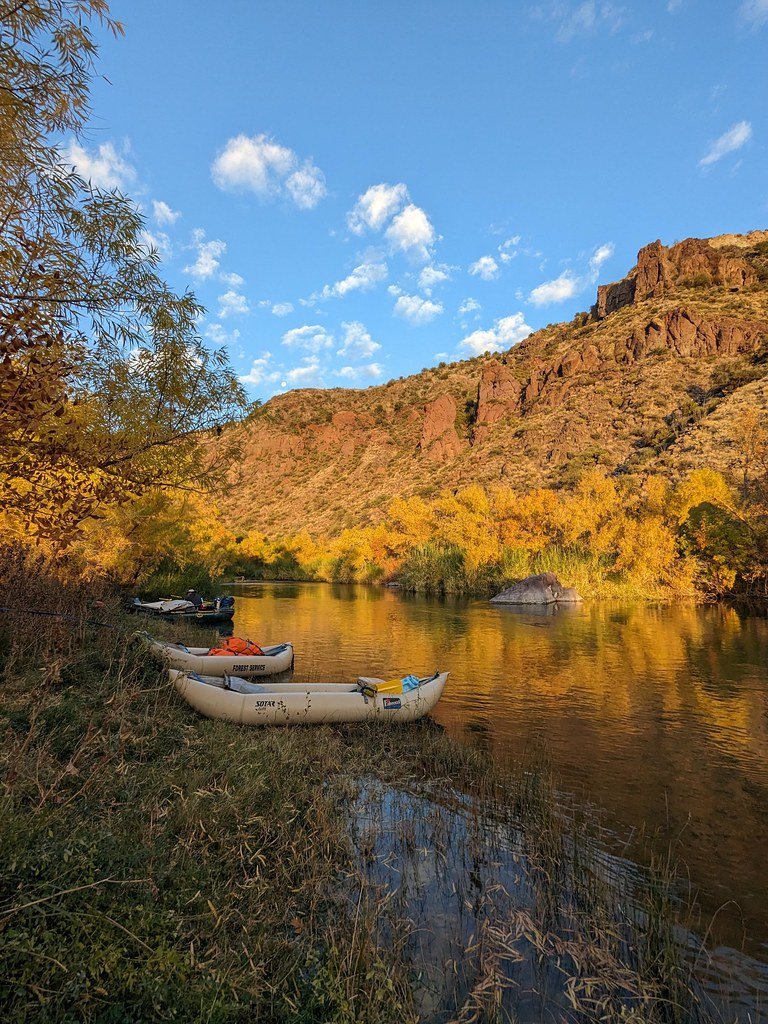
Verde River
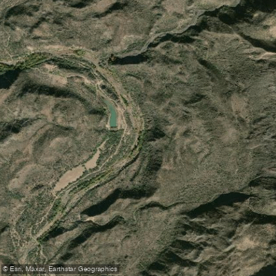
Agua Fria River
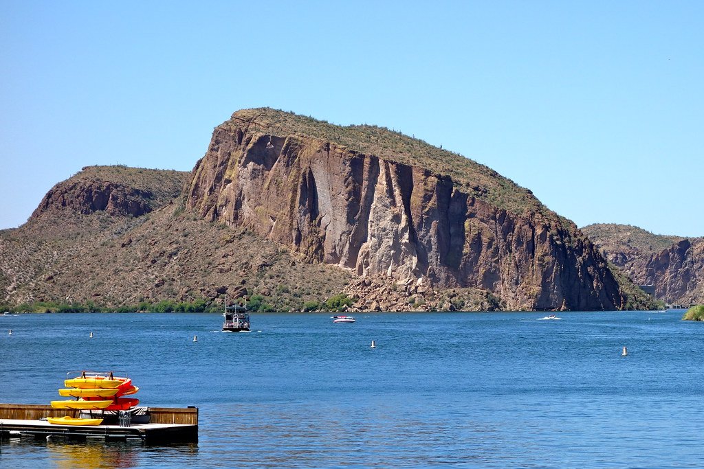
Saguaro Lake
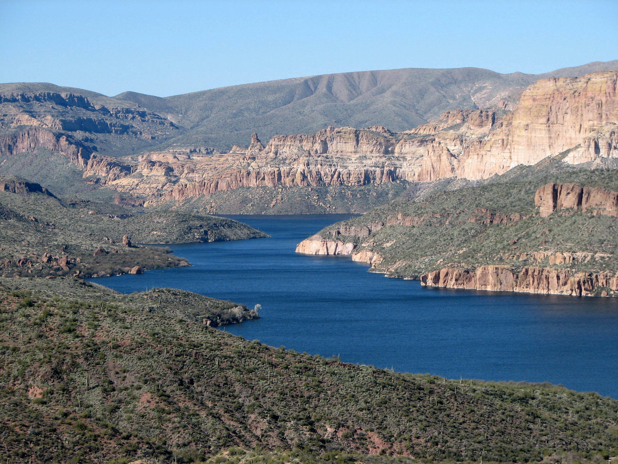
Apache Lake
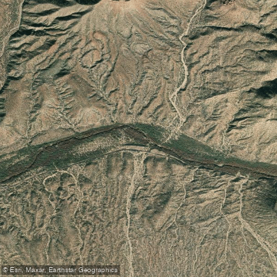
Gila River
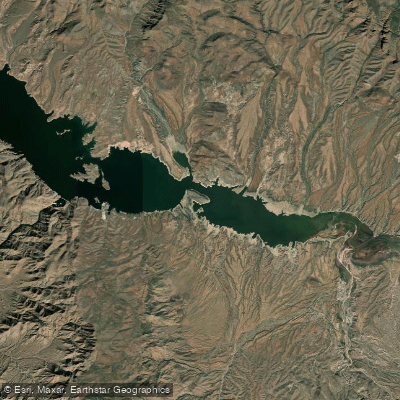
Theodore Roosevelt Lake
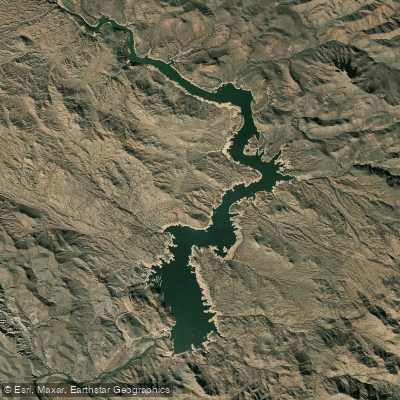
Bartlett Reservoir
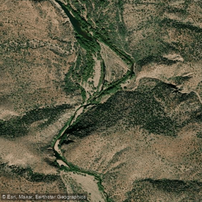
Tonto Creek
Explore Arizona waters
Top paddling waters
Popular Cities
Loading popular cities...
Explore near Canyon Lake
Access points
Nearby waters
More in Arizona

Smarter Paddling Starts in the App.
Paddleways gives you everything you need to plan smarter, paddle better, and own every trip from first launch to takeout.