Big Lake Relief Ditch Boating Access
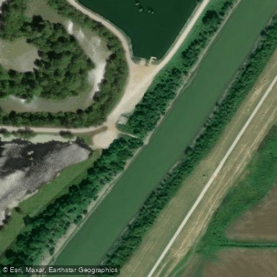
Big Lake Relief Ditch Boating Access
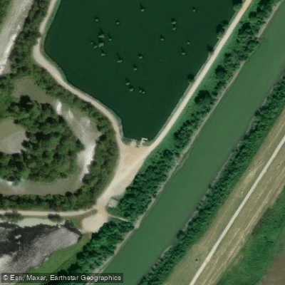
Big Lake Relief Ditch Boating Access provides a gravel boat ramp on the east boundary of Big Lake WMA near Highway 18, offering convenient access to State Line Outlet Ditch and the entire 12-mile eastern boundary by boat.
This access point is suitable for hunters and anglers, though boating conditions vary seasonally with water depths ranging from a few inches to over 10 feet, requiring caution when wading.
Note that waterfowl hunting is prohibited on the refuge itself, and heavy boat traffic occurs during duck season.
Nearby points of interest
Find excellent paddling spots, easy access to boat ramps, and all the amenities you need for a memorable day. Your adventure starts here.
Water and weather conditions (10 day forecast)
Check the forecast at Big Lake Relief Ditch Boating Access before you go paddling.
No forecast data available.
Paddling near Big Lake Relief Ditch Boating Access
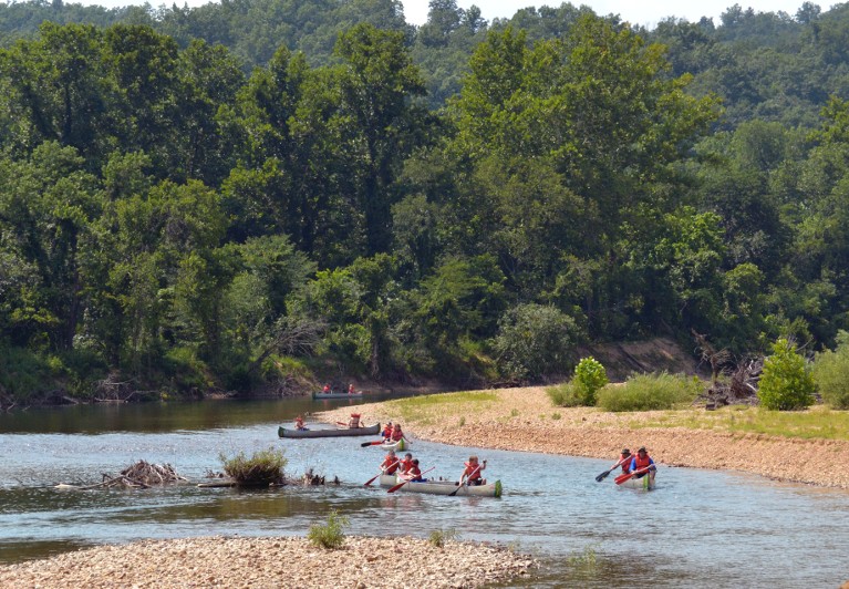
Black River
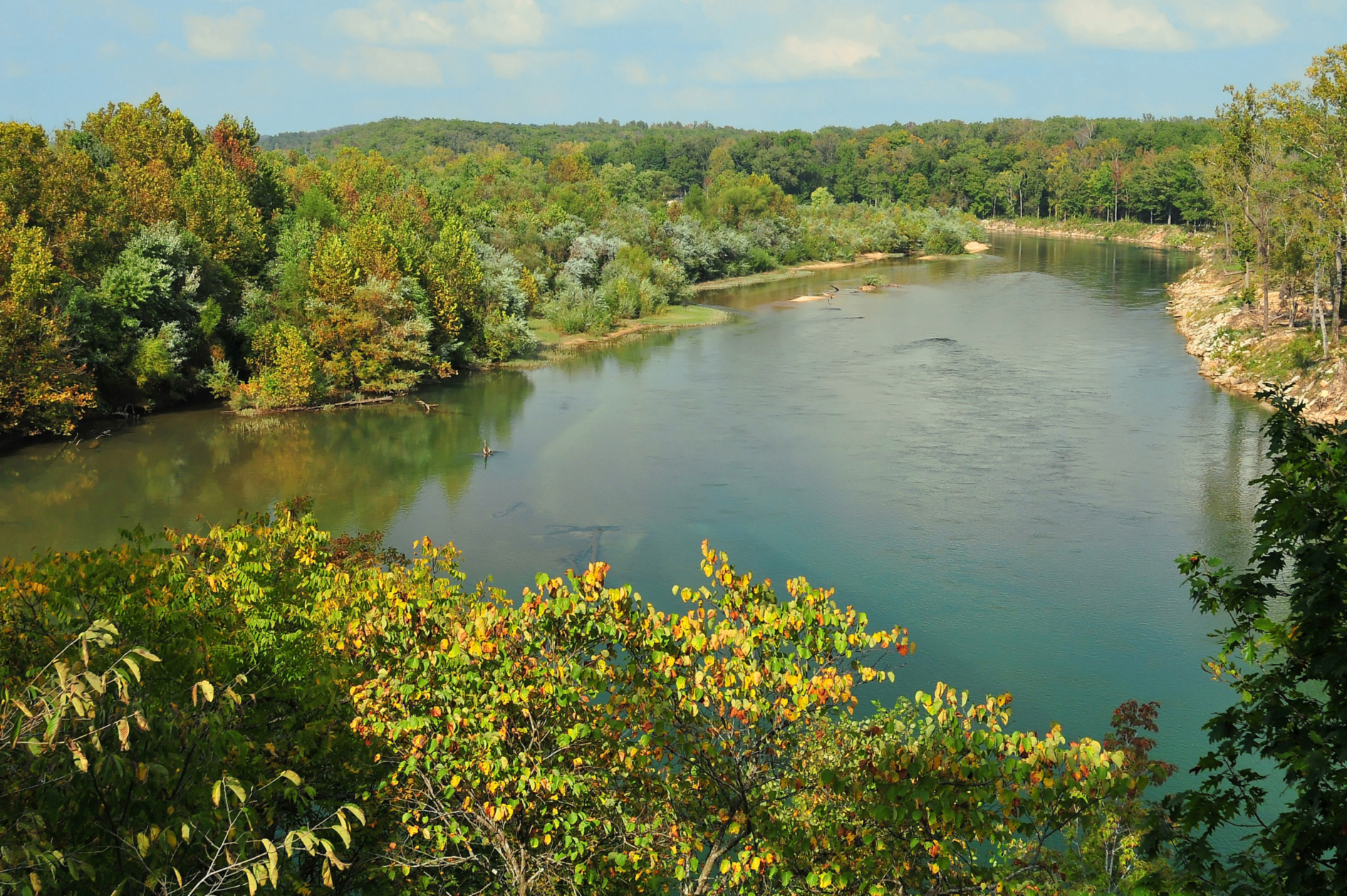
Current River
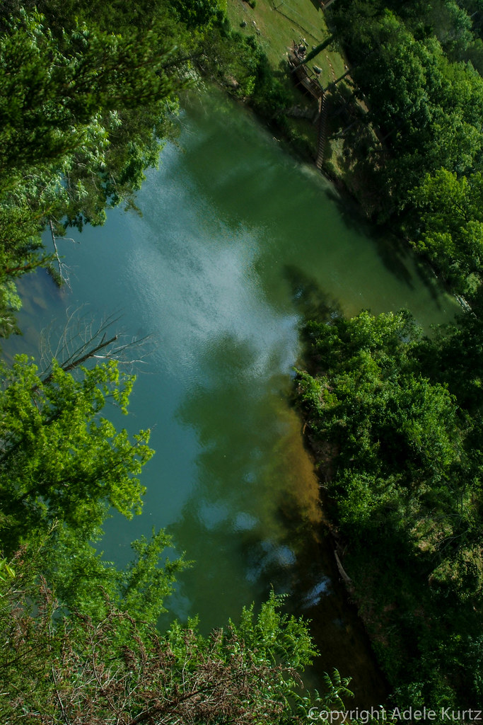
Spring River

Mississippi River
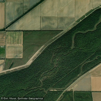
Saint Francis River
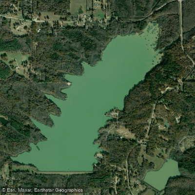
Lake Frierson
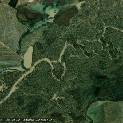
Cache River
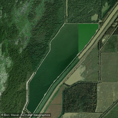
Mallard Lake
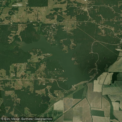
Lake Charles
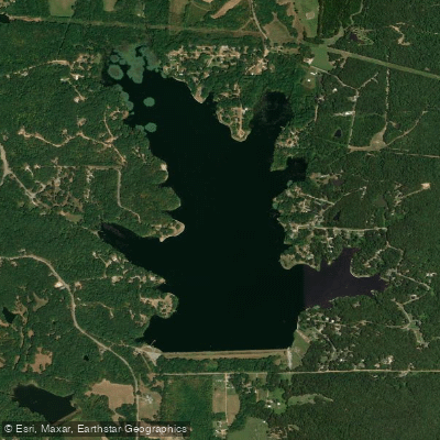
Lake Poinsett
Arkansas licenses and regulations
Explore Arkansas waters
Top paddling waters
No waters available right now.
Popular Cities
Loading popular cities...
Explore near Big Lake Relief Ditch Boating Access
Nearby spots
- Big Lake National Wildlife Refuge North Boat Ramp
- Big Lake National Wildlife Refuge South Boat Ramp
- Bright's Landing Observation Area Boat Ramp #1
- Bright's Landing Observation Area Boat Ramp #2
- Five Mile Lateral Boating Access
- Four Mile Lateral Boating Access
- North Mallard Lake Boat Ramp
- Pettyville Boat Ramp
- Seven Mile Ditch 28 Boating Access
- Seven Mile Lateral Boating Access #1
- Seven Mile Lateral Boating Access #2
- Simmons Field Boating Access #1
- All 20 nearby spots
Nearby waters
More in Arkansas

Smarter Paddling Starts in the App.
Paddleways gives you everything you need to plan smarter, paddle better, and own every trip from first launch to takeout.