Lake Charles
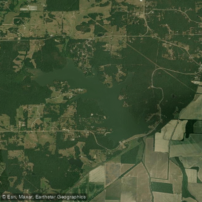
Lake Charles
- Boat Ramps
- 4
- Access Points
- 9
- Campsites
- 1
Lake Charles is a 645-acre artificial lake located in Lake Charles State Park in northeastern Arkansas. The lake offers opportunities for paddling, with kayak and canoe rentals available, including self-guided tours. A boat launch ramp provides access for those bringing their own watercraft.
Paddlers can explore the lake's shoreline, which features wooded areas and coves. The Cedar Trail, a 1.25-mile paved path, runs along a portion of the lakeshore and connects the campgrounds to the day-use area, offering scenic views for paddlers.
Wildlife viewing is possible from the water, with white-tailed deer, wild turkeys, and woodpeckers inhabiting the surrounding forest. The Butterflies and Blooms Trail near the lake attracts various butterfly species, which may be visible to paddlers in season.
Regulations include a No Wake Zone within 100 feet of the park shoreline, docks, and piers. Personal watercraft, waterskiing, and tubing are prohibited on the lake.
Amenities for paddlers include picnic areas, a swimming beach, and a fishing pier. The park's visitor center offers camping supplies, live bait, and snacks. Paddlers should be aware that mosquitoes can be problematic, particularly in areas with stagnant water inlets.
Lake Charles State Park is open year-round, allowing for paddling in different seasons. The park offers guided kayak tours, providing an opportunity to learn about the lake's flora, fauna, and history.
For those interested in the lake's origins, Lake Charles was created in 1967 as part of a watershed and flood protection project, later expanded to include fish and wildlife development. The lake and surrounding park represent Arkansas's commitment to preserving natural resources and providing outdoor recreation opportunities.
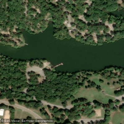
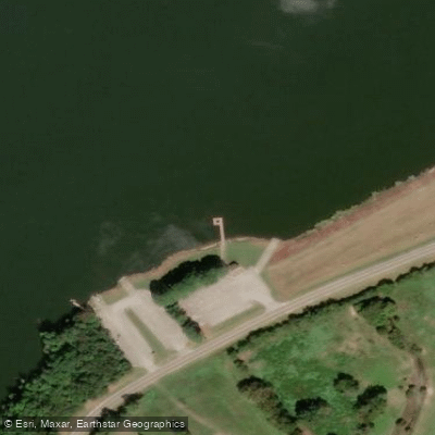
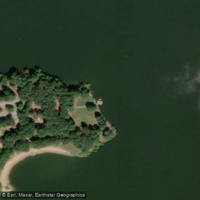
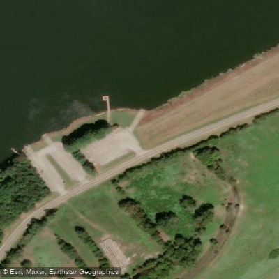
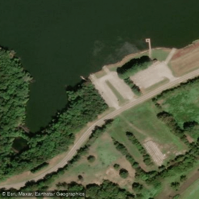
Water access, boat ramps & amenities
Learn how to get on Lake Charles. Uncover great paddling access points, boat ramps, and all the facilities you need for an unforgettable day on the water. Some locations shown may border or include private property. Always check property boundaries and applicable regulations before visiting. PaddleWays's Public & Private Land layer can help you plan your access with confidence.
Paddle smarter with real-time insights
Whether you're en route and conditions shift or you're looking for the best spot based on current flows, we enable you to make informed decisions on the fly.








Find Places to Paddle

Over 400,000 Places to Paddle
Every user gets free access to launch points, boat ramps, and public property parcels.


Water and weather conditions (10 day forecast)
See the best times to paddle Lake Charles and check the forecast before you go.
No forecast data available.
Paddling near Lake Charles
Black River
Spring River

White River

Mississippi River
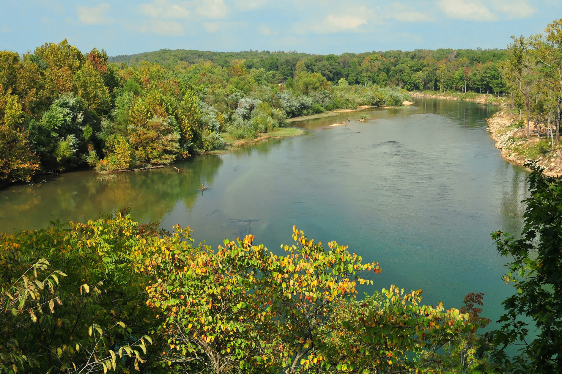
Current River
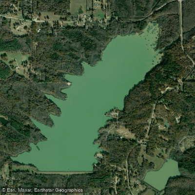
Lake Frierson
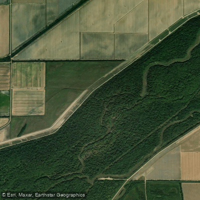
Saint Francis River
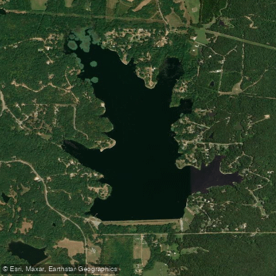
Lake Poinsett
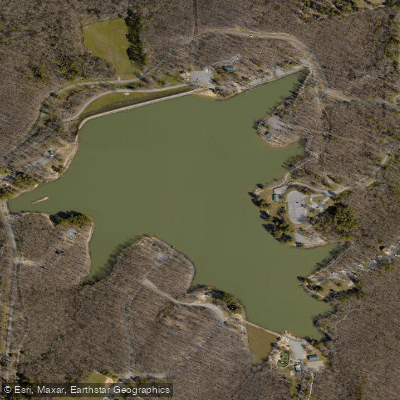
Craighead Forest Lake
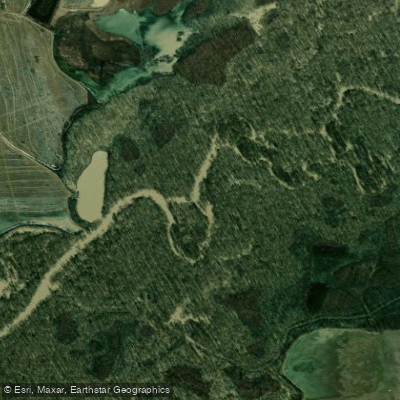
Cache River
Explore Arkansas waters
Top paddling waters
Popular Cities
Loading popular cities...
Explore near Lake Charles
Access points
- Lake Charles State Park Boat Ramp
- Lake Charles State Park NorthBoat Ramp
- Lake Charles State Park Boat Ramp
- Lake Charles State Park Boat Ramp
- Lake Charles State Park Access
- Charles Lake Access
- Lake Charles State Park Access
- Lake Charles Access
- Lake Charles Access
- Crow Creek Bridge
- Creek Bridge
- Fall Creek Bridge
- All 27 spots
Nearby waters
More in Arkansas

Smarter Paddling Starts in the App.
Paddleways gives you everything you need to plan smarter, paddle better, and own every trip from first launch to takeout.