Mallard Lake
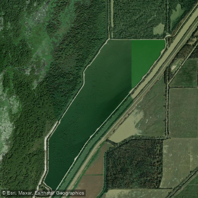
Mallard Lake
- Boat Ramps
- 2
- Access Points
- 3
- Campsites
- 1
Mallard Lake is a 300-acre impoundment located at the southern end of Big Lake Wildlife Management Area in northeastern Arkansas. Created in 1967 through a levee system, the lake features cypress trees, stumps, and fallen logs throughout, with intermittent riprap along the levees. The average depth is 4 feet with a maximum depth of 12 feet.
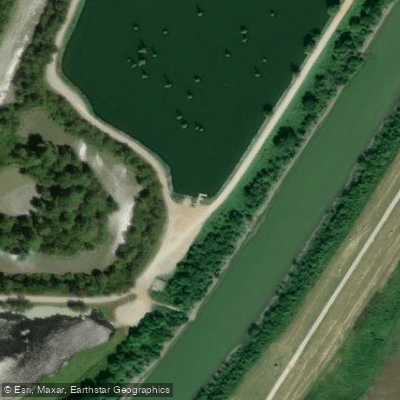
Access is available via two concrete boat ramps - one at the lake's northeast corner and another at the south end, where a courtesy dock is also located. To reach the lake, travel 2 miles east of Manila on Arkansas Highway 18, then 2 miles north on the gravel access road. Signs mark the turnoff from Highway 18.
The lake environment includes a wheelchair-accessible fishing pier at the northwest corner and bank fishing areas along the shoreline. Primitive camping is permitted along the east levee. The surrounding landscape consists of wetlands within the larger 11,447-acre wildlife management area.
Important Regulations: Mallard Lake is subject to specific seasonal restrictions. During regular duck season, no boats are allowed from 1 PM until 4 AM. The lake is closed to all hunting except during the special early teal season, though fishing and non-hunting activities are permitted.
The lake underwent renovation in 1985 to address water quality issues and reduce rough fish populations. While primarily known for its fishing opportunities, particularly largemouth bass, the relatively shallow depth and natural features make it suitable for paddling. The lake's location within a wildlife management area provides excellent wildlife viewing opportunities throughout the year.
Facilities are limited, so paddlers should plan accordingly. The nearest accommodations can be found in Manila or Blytheville (15 miles away).
Water access, boat ramps & amenities
Learn how to get on Mallard Lake. Uncover great paddling access points, boat ramps, and all the facilities you need for an unforgettable day on the water. Some locations shown may border or include private property. Always check property boundaries and applicable regulations before visiting. PaddleWays's Public & Private Land layer can help you plan your access with confidence.
Paddle smarter with real-time insights
Whether you're en route and conditions shift or you're looking for the best spot based on current flows, we enable you to make informed decisions on the fly.








Find Places to Paddle

Over 400,000 Places to Paddle
Every user gets free access to launch points, boat ramps, and public property parcels.


Water and weather conditions (10 day forecast)
See the best times to paddle Mallard Lake and check the forecast before you go.
No forecast data available.
Paddling near Mallard Lake
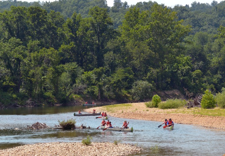
Black River
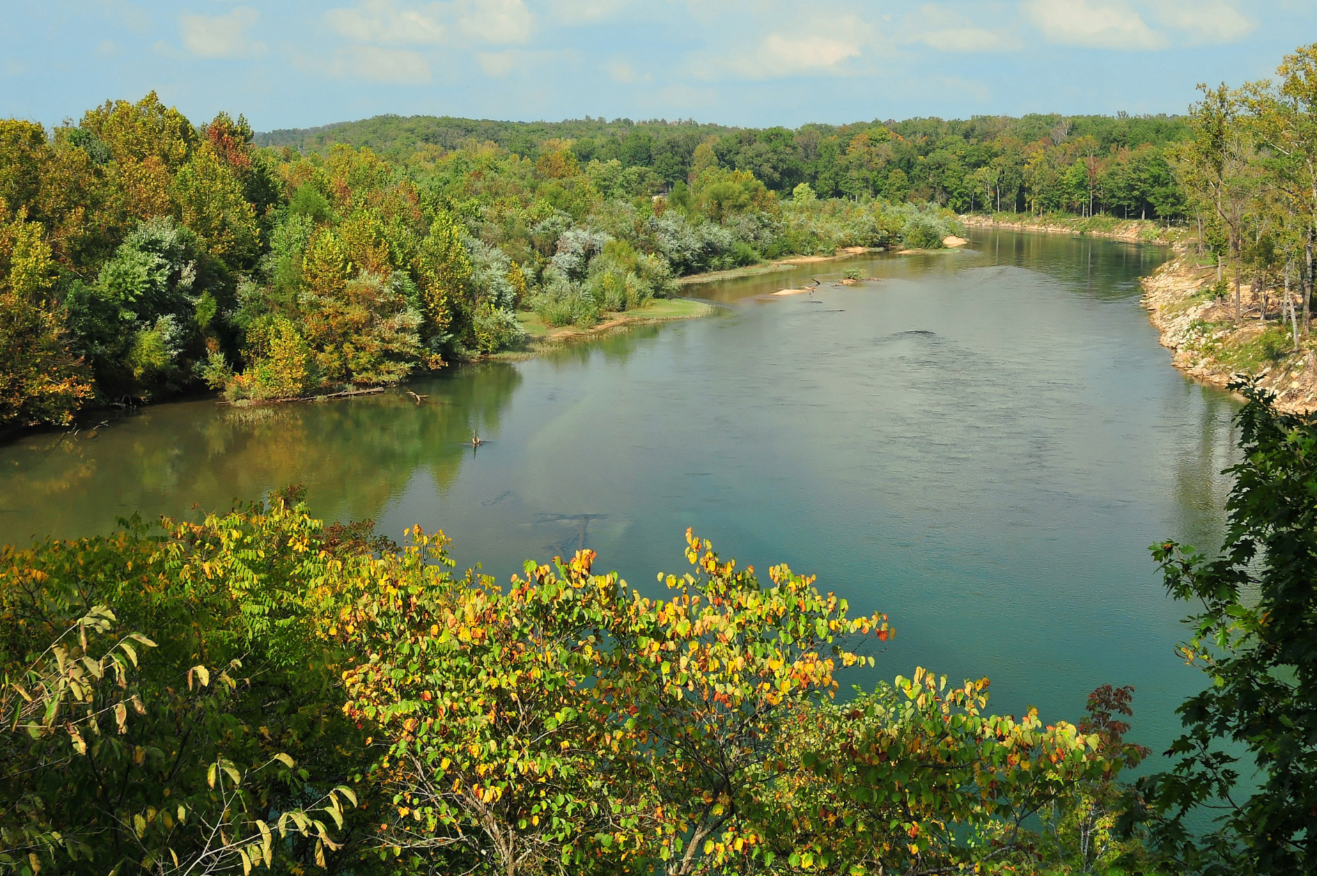
Current River
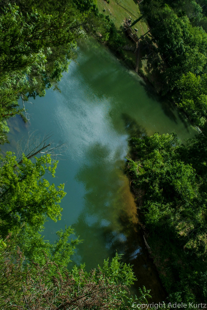
Spring River

Mississippi River
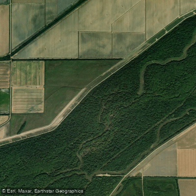
Saint Francis River
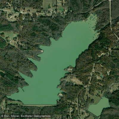
Lake Frierson
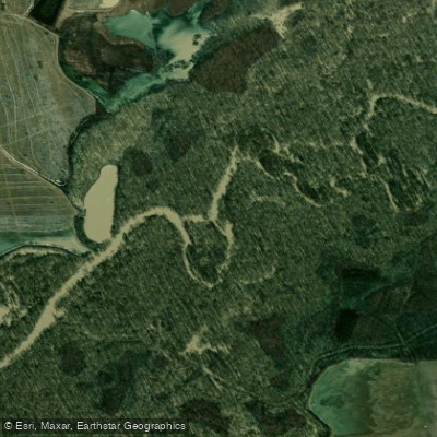
Cache River
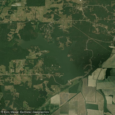
Lake Charles
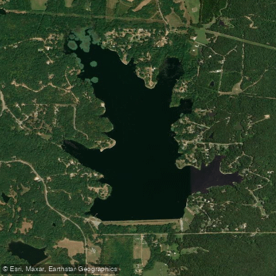
Lake Poinsett
Explore Arkansas waters
Top paddling waters
Popular Cities
Loading popular cities...
Explore near Mallard Lake
Access points
Nearby waters
More in Arkansas

Smarter Paddling Starts in the App.
Paddleways gives you everything you need to plan smarter, paddle better, and own every trip from first launch to takeout.