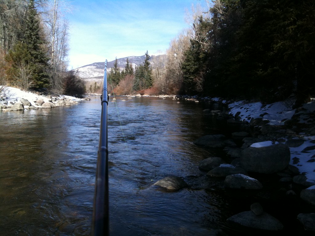
Curated by PaddleWays
RouteClass II–III
- Distance
- 1.6 mi
- Paddle time
- ~0.5 hrs
- Best for
- Kayak
- Put-in → take-out
- Breckenridge Access → CMC on Airport Road Access
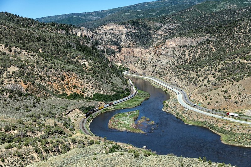
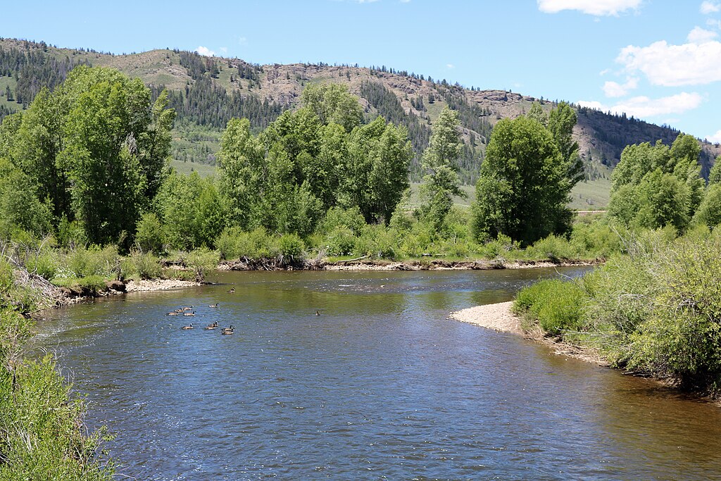
The Blue River is a vital waterway in central Colorado, originating high in the Tenmile Range near Breckenridge and flowing north to its confluence with the Colorado River near Kremmling. This approximately 65-mile river is a major tributary of the Upper Colorado, draining much of Summit and Grand counties. The Blue offers diverse paddling opportunities, from family-friendly floats to challenging whitewater.
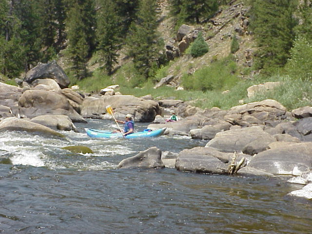
Near its headwaters, the Breckenridge Whitewater Park provides a 1,800-foot stretch of engineered Class III rapids popular with kayakers and playboaters. Downstream, the river alternates between calm stretches and exciting Class III-IV rapids, particularly in the section below Green Mountain Reservoir. Overall difficulty ranges from Class II to IV, with the upper sections generally being milder and suitable for beginners, while the lower canyon demands more advanced skills.
The river is most commonly run from late spring through summer, with peak flows typically occurring in June due to snowmelt.
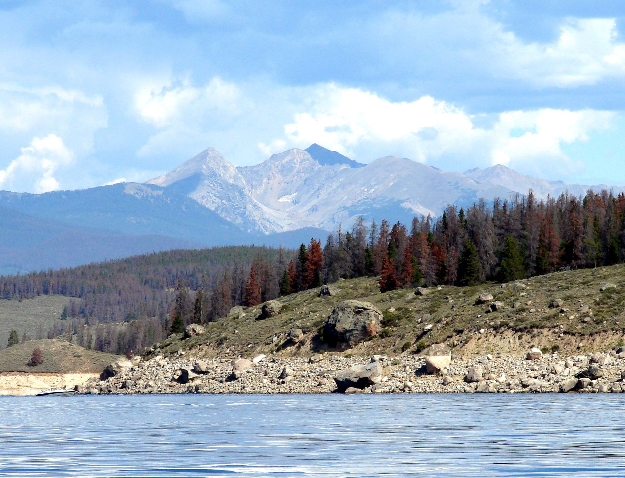
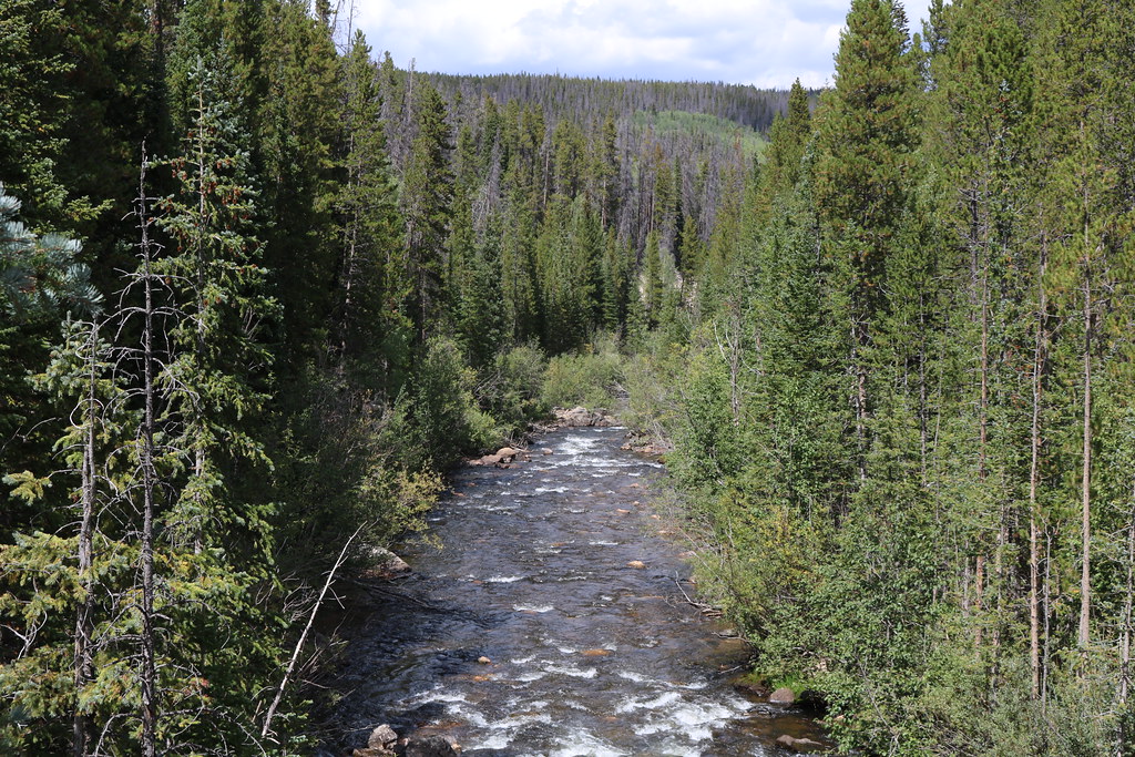
The Blue River valley supports a rich ecosystem, including stands of pine and aspen forests. Wildlife such as deer, elk, and various bird species can often be spotted along its banks. The river is also renowned for its trout fishing, particularly in the tailwaters below Dillon Reservoir.
Key landmarks include Dillon Reservoir, a major water source for Denver, and Green Mountain Reservoir, which regulates flow for much of the lower river. The town of Silverthorne serves as a central access point, with other put-ins and take-outs scattered along Highway 9.
Historically, the Blue River played a crucial role in the region's mining and ranching heritage. Today, it's an important recreational resource, supporting a thriving tourism industry centered around rafting, fishing, and other outdoor activities.
Safety considerations include variable water levels influenced by dam releases, cold water temperatures, and the remote nature of some sections, particularly the lower canyon. Paddlers should be aware of potential hazards like strainers and check current flow conditions before embarking.
For those seeking a multi-day adventure, the lower Blue offers opportunities for wilderness camping, though access is limited and much of the surrounding land is private. Careful planning and respect for property boundaries are essential for overnight trips.
Access points range from the Blue River Campground near Breckenridge to the confluence with the Colorado River at the Gore Canyon put-in. Popular sections include the family-friendly Blue River Express near Silverthorne and the more challenging run below Green Mountain Reservoir.
Curated routes
Hand-picked by the PaddleWays team, with put-ins, take-outs, paddle times and the hazards along the way.
RouteClass II–III
RouteClass III–IV
RouteClass II–III
RouteClass III–IV
Hazards
No paddler has reported a hazard here yet, so these are the dams, falls and big rapids on our map. Hazards change with flows and storms, so check them before you launch.
From the community
Nobody has shared a trip on Blue River yet. Paddle it, then tell the next paddler how it went.
See exactly where the public can get on and off the river. Launch points and boat ramps are paired with PaddleWays' public land data so you know where you can legally land.
Public shoreline
46%of the river's shoreline is public
Most of the riverbank is private. Launch, land and camp only at public access points.
Flows, weather and a route-by-route verdict, so you know which stretch of the Blue River is worth paddling today.
All Flow Stations
Scheduled releases and generation forecasts from the dams on Blue River.
Blue River · Below Dillon Dam · National Weather Service
63 cfs now
Forecast updated today at 2:37 PM MST. Schedules can change, so check the operator's page before you go.
Live flows, marked hazards and fresh trip reports from paddlers who were just on the water, all in one place.





Every user gets free access to launch points, boat ramps, and public property parcels.
Loading popular cities...
PaddleWays gives you everything you need to plan smarter, paddle better, and own every trip from first launch to takeout.