Curated by PaddleWays
RouteClass II–III
- Distance
- 0.1 mi
- Paddle time
- ~0.5 hrs
- Best for
- Kayak, raft
- Put-in & take-out
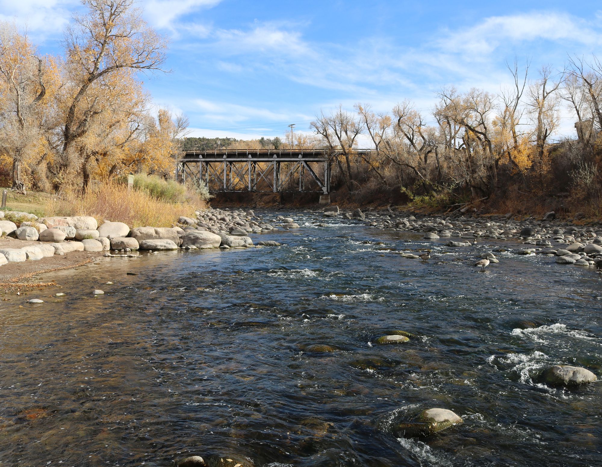
- Bob The Bridge Access
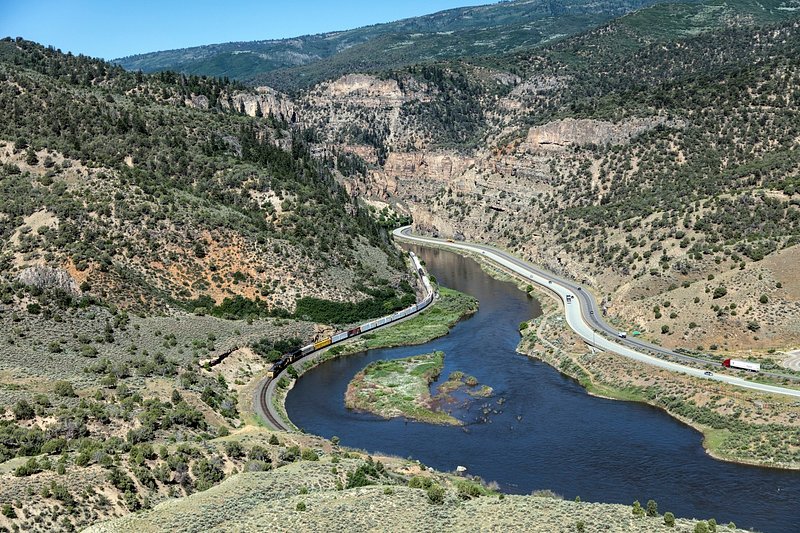
The Eagle River is a waterway flowing through the heart of Colorado's Rocky Mountains. Originating near Tennessee Pass in Eagle County, this 60-mile long tributary of the Colorado River offers paddlers a wide range of experiences, from challenging whitewater to serene floats through picturesque mountain valleys.
The river's journey begins in the high alpine meadows near its headwaters, winding through the historic Camp Hale area before descending through a series of increasingly difficult rapids. The upper sections, including Gore Creek and the Gilman Gorge, provide expert kayakers with thrilling Class IV-V whitewater amidst stunning mountain scenery. The infamous Dowd Chute, a quarter-mile stretch of intense Class IV rapids near Minturn, is a highlight for experienced paddlers during the high water season.
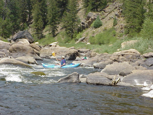
As the Eagle River continues westward, it mellows into more moderate Class III rapids through the towns of Avon and Edwards, offering excellent opportunities for intermediate paddlers and commercial rafting trips. The lower sections from Wolcott to Eagle and beyond provide a gentler Class II-III experience, perfect for families and those seeking a more relaxed float through the colorful canyons and sagebrush-dotted landscape of the western slope.
The paddling season on the Eagle River typically runs from late May to early July, depending on snowmelt and runoff levels. Spring brings the most challenging conditions, while late June and early July offer a good balance of excitement and accessibility for a wider range of skill levels.
Wildlife enthusiasts will appreciate the chance to spot bald eagles, ospreys, and various trout species along the river's course. The surrounding White River National Forest provides a backdrop of diverse flora, transitioning from alpine meadows and aspen groves in the upper reaches to pinyon-juniper woodlands in the lower valley.
Several historic mining towns dot the river's path, including Red Cliff, Minturn, and Eagle, offering glimpses into Colorado's rich mining heritage. The river also passes by world-class ski resorts like Vail and Beaver Creek, making it a year-round recreational destination.
Access to the Eagle River is generally good, with numerous put-ins and take-outs along its course. Popular access points include East Vail for Gore Creek, Minturn for the upper sections, Avon and Edwards for the middle reaches, and Eagle for the lower stretches.
Safety is paramount on the Eagle River, particularly during high water. Paddlers should be aware of rapidly changing conditions, cold water temperatures, and potential hazards such as strainers and undercut rocks. It's advisable to check current flow levels and consult local outfitters or experienced paddlers before embarking on any trip.
While most Eagle River trips are done as day excursions, multi-day adventures are possible by combining different sections or linking with the Colorado River at the confluence near Dotsero. These longer journeys offer a comprehensive experience of the river's changing character and the surrounding landscape.
The Eagle River stands as a testament to Colorado's natural beauty and outdoor recreation opportunities, providing paddlers of all levels with unforgettable experiences in the heart of the Rockies.
Curated routes
Hand-picked by the PaddleWays team, with put-ins, take-outs, paddle times and the hazards along the way.
RouteClass II–III
RouteClass IV
RouteClass IV–V
RouteClass III–IV
RouteClass III–IV
RouteClass III
RouteClass II–III
RouteFlatwater
RouteClass II–III
Hazards
No hazards are marked on Eagle River yet. That is not the same as none being there: if you find one, report it for the next paddler.
From the community
Nobody has shared a trip on Eagle River yet. Paddle it, then tell the next paddler how it went.
See exactly where the public can get on and off the river. Launch points and boat ramps are paired with PaddleWays' public land data so you know where you can legally land.
Public shoreline
50%of the river's shoreline is public
Flows, weather and a route-by-route verdict, so you know which stretch of the Eagle River is worth paddling today.
All Flow Stations
Live flows, marked hazards and fresh trip reports from paddlers who were just on the water, all in one place.





Every user gets free access to launch points, boat ramps, and public property parcels.
Loading popular cities...
PaddleWays gives you everything you need to plan smarter, paddle better, and own every trip from first launch to takeout.