Curated by PaddleWays
RouteClass III–IV
- Distance
- 4.1 mi
- Paddle time
- ~1 hr
- Best for
- Raft
- Put-in → take-out
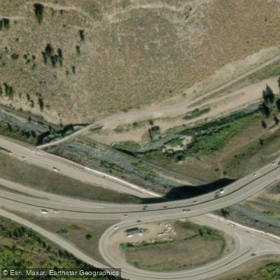
- Gore Valley Trail Access → Dowds Junction Boat Ramp
Class IV rapid near the takeout
Gore Creek originates near the Continental Divide at approximately 11,000 feet elevation in the Gore Range of Colorado's White River National Forest. The creek flows westward for roughly 18.5 miles through Gore Valley, descending through the heart of Vail Village before joining the Eagle River near Dowd Junction at an elevation around 7,500 feet. This tributary drains a watershed characterized by steep mountain terrain, alpine meadows, and dense coniferous forests.
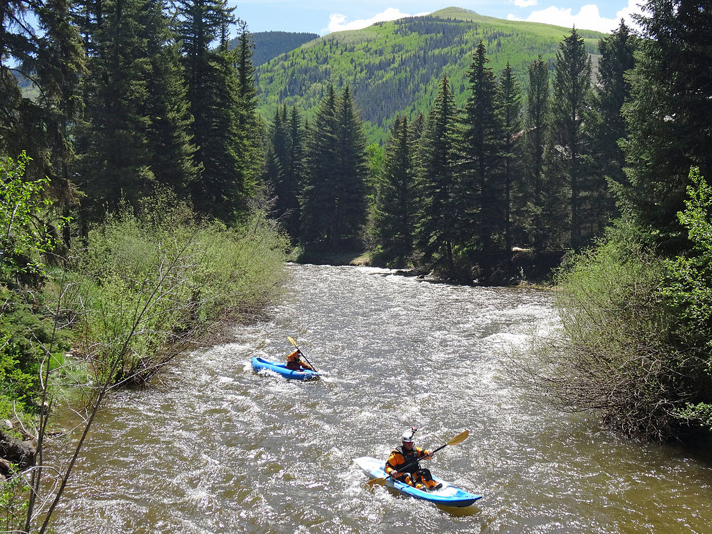
The creek offers paddling opportunities primarily during spring runoff from May through early July, when snowmelt from the surrounding peaks provides sufficient flows. The lower sections present technical whitewater ranging from Class III to Class IV, with the most notable run extending from the Vail Whitewater Park area downstream to the confluence with the Eagle River. This approximately 5-mile stretch features continuous rapids, narrow channels, and several mandatory portages around infrastructure including pipes and a game control fence. Paddlers encounter named rapids and technical challenges requiring precise boat control and solid Class IV skills.
The Vail Whitewater Park itself, located in the center of Vail Village near the International Bridge, features a constructed wave popular with kayakers and river surfers. This park hosts the annual GoPro Mountain Games and provides an accessible introduction to Gore Creek's character, though flows can be marginal outside peak runoff periods.
Gore Creek supports a Gold Medal trout fishery in its lower reaches below Red Sandstone Creek, recognized for exceptional brown trout populations. The riparian corridor hosts diverse wildlife including elk, deer, black bears, and numerous bird species. The creek's cold, clear waters sustain populations of aquatic macroinvertebrates, though certain reaches have experienced impacts from historical traction sand accumulation and urban runoff.
Access points include the Vail Whitewater Park in Vail Village, various pullouts along South Frontage Road, and the take-out near the confluence with the Eagle River accessible from Interstate 70. The town of Vail provides full services including lodging, dining, and outdoor equipment shops.
The watershed has been subject to extensive restoration efforts coordinated by the Eagle River Watershed Council and local partners to address sediment loading, particularly from Black Gore Creek, a tributary affected by decades of winter highway maintenance operations. Water quality monitoring programs track conditions throughout the drainage.
Paddlers must navigate several low-clearance pipes requiring ducking or portaging, and a game control fence that poses serious hazards when closed. The technical nature of the run, combined with cold water temperatures and limited egress points, demands advanced skills and proper safety equipment. The creek flows through private property and developed areas, requiring respect for access points and adherence to local regulations.
Curated routes
Hand-picked by the PaddleWays team, with put-ins, take-outs, paddle times and the hazards along the way.
RouteClass III–IV
Hazards
No hazards are marked on Gore Creek yet. That is not the same as none being there: if you find one, report it for the next paddler.
From the community
Nobody has shared a trip on Gore Creek yet. Paddle it, then tell the next paddler how it went.
See exactly where the public can get on and off the river. Launch points and boat ramps are paired with PaddleWays' public land data so you know where you can legally land.
Public shoreline
65%of the river's shoreline is public
Flows, weather and a route-by-route verdict, so you know which stretch of the Gore Creek is worth paddling today.
All Flow Stations
Live flows, marked hazards and fresh trip reports from paddlers who were just on the water, all in one place.





Every user gets free access to launch points, boat ramps, and public property parcels.
Loading popular cities...
PaddleWays gives you everything you need to plan smarter, paddle better, and own every trip from first launch to takeout.