Jackson Gulch Reservoir
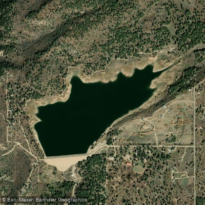
Jackson Gulch Reservoir
- Boat Ramps
- 1
- Access Points
- 9
- Campsites
- 1
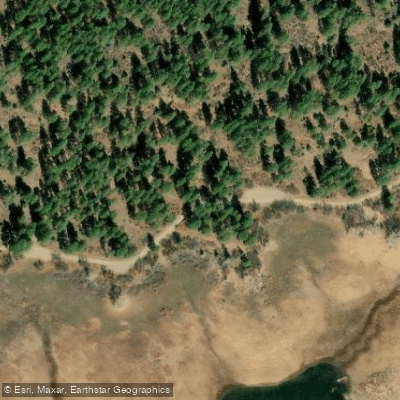
Jackson Gulch Reservoir, a 216-acre body of water in southwestern Colorado's Mancos State Park, offers a wakeless paddling environment ideal for kayaks, canoes, and stand-up paddleboards. The reservoir features one concrete boat ramp on its southeast side, with a courtesy dock available during summer months when water levels permit. The boat ramp closes annually from mid-October until May or when ice conditions improve.
All boating at Jackson Gulch must be wakeless - water skiing, jet skiing, and swimming are prohibited. Non-motorized, hand-launched vessels do not require inspection at the aquatic nuisance species (ANS) station, though trailered vessels must be inspected during station hours (8 a.m. to 4 p.m., Tuesday to Saturday).
The reservoir sits at approximately 7,800 feet elevation and is surrounded by ponderosa pine forest with views of the La Plata Mountains. Four miles of shoreline provide multiple access points, and the reservoir's calm waters make it particularly suitable for novice paddlers. The park maintains 5.5 miles of trails around the reservoir, offering opportunities to combine paddling with hiking.
Facilities include vault toilets and picnic areas. A state park pass is required for entry, with daily vehicle passes available for $10. The park is open daily from 5 a.m. to 10 p.m.
Wildlife viewing opportunities include various waterfowl species, and the reservoir supports populations of rainbow trout and yellow perch. The location provides convenient access to other attractions, including Mesa Verde National Park (12 miles away) and the San Juan National Forest.
For paddlers interested in overnight trips, the park offers 32 campsites split between two locations on opposite sides of the reservoir, plus two heated yurts available year-round by reservation. Life jackets are required, and no lifeguards are on duty.
Water access, boat ramps & amenities
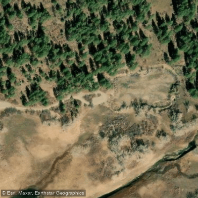
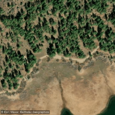
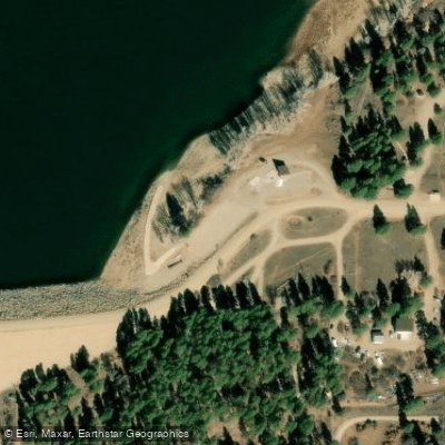
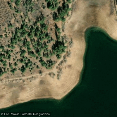
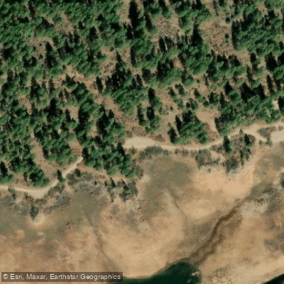
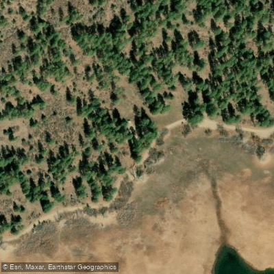
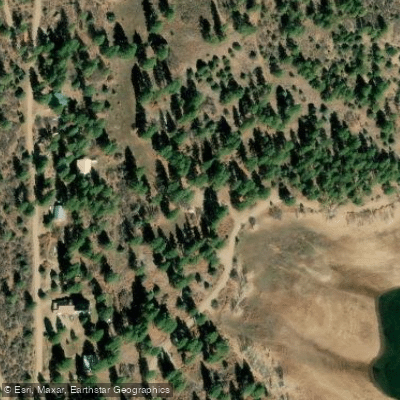
Learn how to get on Jackson Gulch Reservoir. Uncover great paddling access points, boat ramps, and all the facilities you need for an unforgettable day on the water. Some locations shown may border or include private property. Always check property boundaries and applicable regulations before visiting. PaddleWays's Public & Private Land layer can help you plan your access with confidence.
Paddle smarter with real-time insights
Whether you're en route and conditions shift or you're looking for the best spot based on current flows, we enable you to make informed decisions on the fly.








Find Places to Paddle

Over 400,000 Places to Paddle
Every user gets free access to launch points, boat ramps, and public property parcels.


Water and weather conditions (10 day forecast)
See the best times to paddle Jackson Gulch Reservoir and check the forecast before you go.
JACKSON GULCH RESERVOIR
All Flow Stations
Paddling near Jackson Gulch Reservoir
San Juan River
Animas River
Los Pinos River
Piedra River
Beeline Reservoir
Navajo Reservoir
Morgan Lake
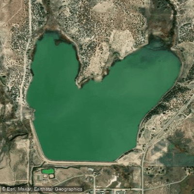
Totten Lake
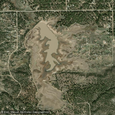
Summit Reservoir
Explore Colorado waters
Top paddling waters
Popular Cities
Loading popular cities...
Explore near Jackson Gulch Reservoir
Access points
Nearby waters
More in Colorado

Smarter Paddling Starts in the App.
Paddleways gives you everything you need to plan smarter, paddle better, and own every trip from first launch to takeout.