Summit Reservoir
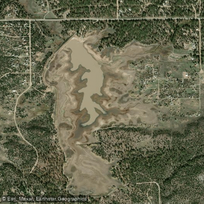
Summit Reservoir
- Boat Ramps
- 1
- Access Points
- 2
- Campsites
- 1
Summit Reservoir allows non-motorized watercraft including kayaks, canoes, and paddleboards, but only hand-launched craft are permitted. The reservoir is managed by Summit Reservoir & Irrigation Company, which has implemented specific restrictions to prevent the spread of zebra/quagga mussels. While electric trolling motors are allowed, all trailered boats are prohibited.
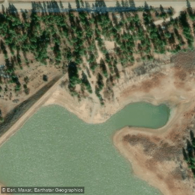
The reservoir has both a boat ramp and restroom facilities. A boat launch is located near the dams on the northwest corner and west side of the impoundment. The shoreline features ponderosa pines covering the northern end, with willows along the banks. The water body includes some rooted aquatic vegetation and submerged trees.
Water levels can fluctuate significantly, as the reservoir serves irrigation purposes. During dry years, extreme drawdowns can occur. The inlet is fed by water diversions from Lost Canyon Creek. The reservoir maintains a minimum conservation pool for fisheries.
The property encompasses 526 acres at an elevation between 7,307 and 7,448 feet. Public access is governed by a perpetual easement between Summit Irrigation Company and the State of Colorado. Visitors over age 16 must have either a valid hunting or fishing license or a State Wildlife Area pass to access the reservoir.
Operating watercraft in a manner that creates whitewater wake is prohibited. Dogs must be leashed except when actively hunting or during licensed field trials. For current vessel regulations and access information, contact the Durango Colorado Parks and Wildlife office, as launch permissions may vary based on conditions.
The reservoir provides opportunities for wildlife viewing, with waterfowl being the primary species of interest. The combination of open water, shoreline vegetation, and surrounding terrain creates diverse habitat for both resident and migratory birds.
Water access, boat ramps & amenities
Learn how to get on Summit Reservoir. Uncover great paddling access points, boat ramps, and all the facilities you need for an unforgettable day on the water. Some locations shown may border or include private property. Always check property boundaries and applicable regulations before visiting. PaddleWays's Public & Private Land layer can help you plan your access with confidence.
Paddle smarter with real-time insights
Whether you're en route and conditions shift or you're looking for the best spot based on current flows, we enable you to make informed decisions on the fly.








Find Places to Paddle

Over 400,000 Places to Paddle
Every user gets free access to launch points, boat ramps, and public property parcels.


Water and weather conditions (10 day forecast)
See the best times to paddle Summit Reservoir and check the forecast before you go.
No forecast data available.
Paddling near Summit Reservoir
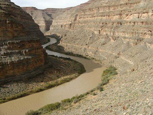
San Juan River
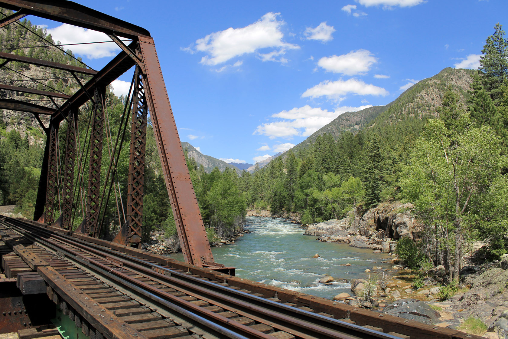
Animas River
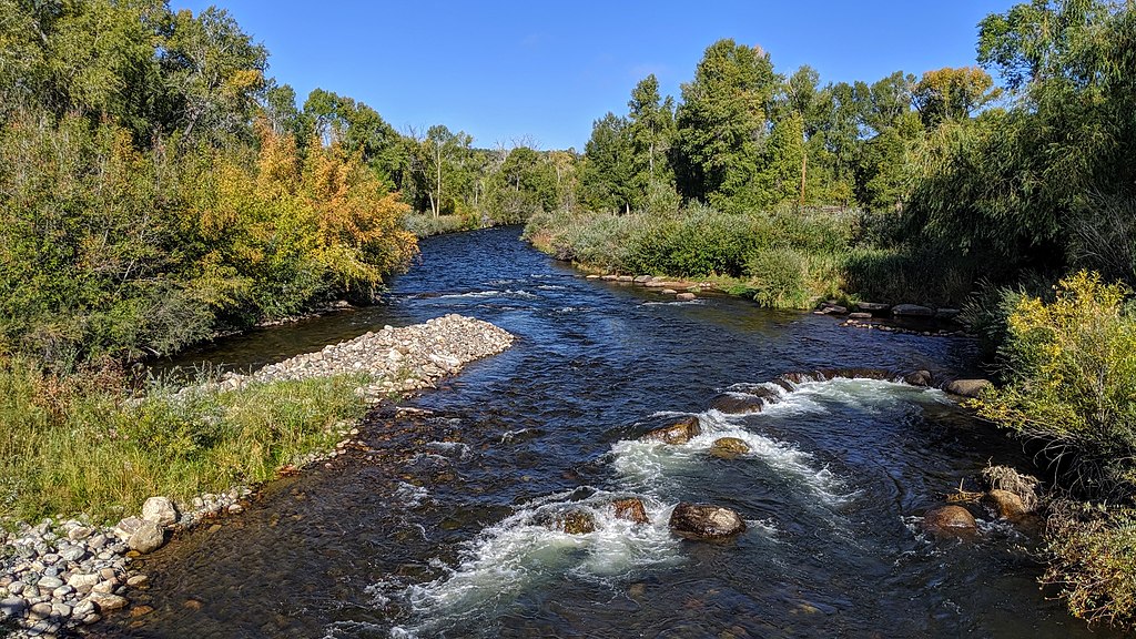
Los Pinos River
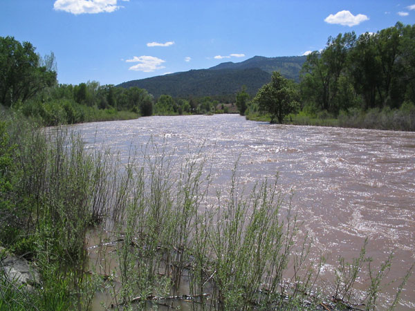
Piedra River
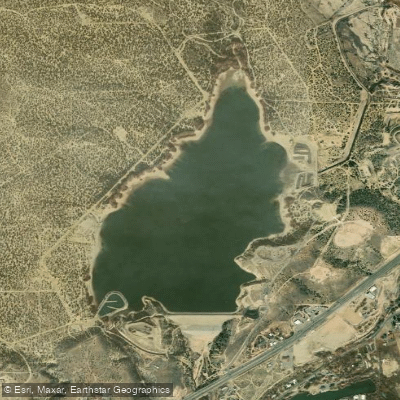
Beeline Reservoir
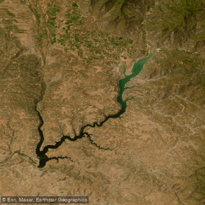
Navajo Reservoir
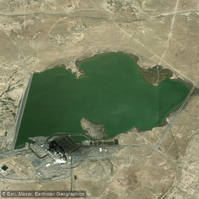
Morgan Lake
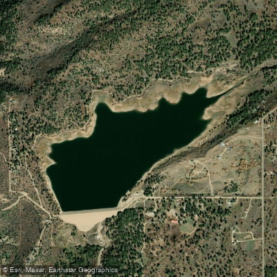
Jackson Gulch Reservoir
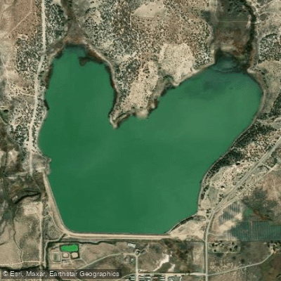
Totten Lake
Explore Colorado waters
Top paddling waters
Popular Cities
Loading popular cities...
Explore near Summit Reservoir

Smarter Paddling Starts in the App.
Paddleways gives you everything you need to plan smarter, paddle better, and own every trip from first launch to takeout.