Curated by PaddleWays
RouteClass II–III
- Distance
- 11 mi
- Paddle time
- ~3 hrs
- Best for
- Intermediate paddlers
- Put-in → take-out
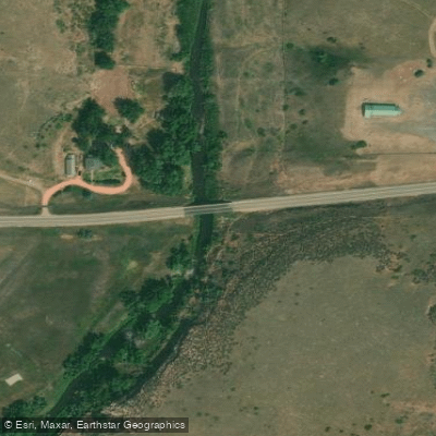
- 74E Bridge Hand Launch → Gateway Natural Area Access
Seamens Reservoir dam portage required
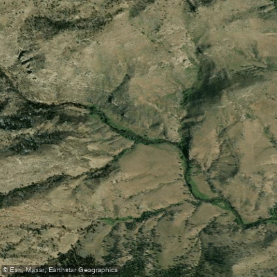
The North Fork Cache La Poudre River is a scenic and challenging tributary of the main Cache La Poudre River in northern Colorado. Originating near the Continental Divide in Rocky Mountain National Park, it flows eastward through rugged canyons before joining the main stem northwest of Fort Collins. This remote river offers paddlers a variety of whitewater experiences across its approximately 30-mile length.
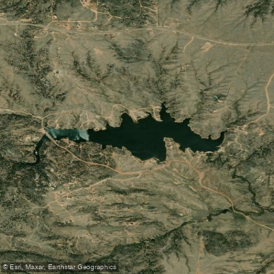
The North Fork features several distinct paddling sections, ranging from Class II-III floats to more difficult Class IV-V rapids. The upper reaches, including the challenging Big South run, provide expert paddlers with intense whitewater through a pristine wilderness setting. Downstream, the Livermore Bridge to Main Stem section offers a more moderate Class II-III experience through small canyons. A unique feature is the Seamens Reservoir section, where paddlers navigate 8 miles of river, cross 1.5 miles of flatwater, then portage around the dam to continue downstream. The Pineview Falls section near the confluence provides a short but thrilling Class III-IV run.
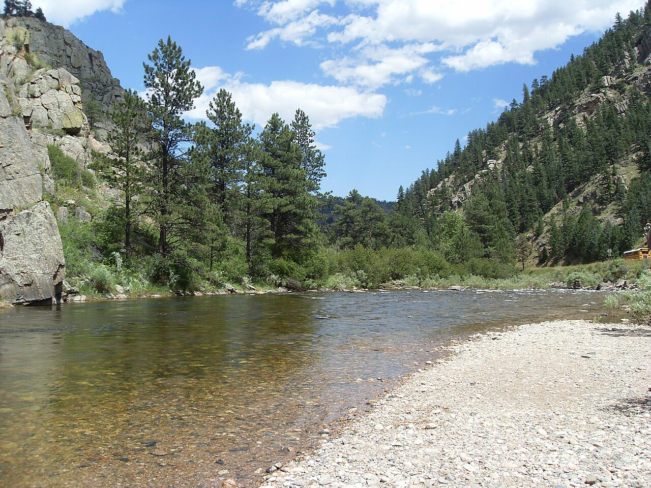
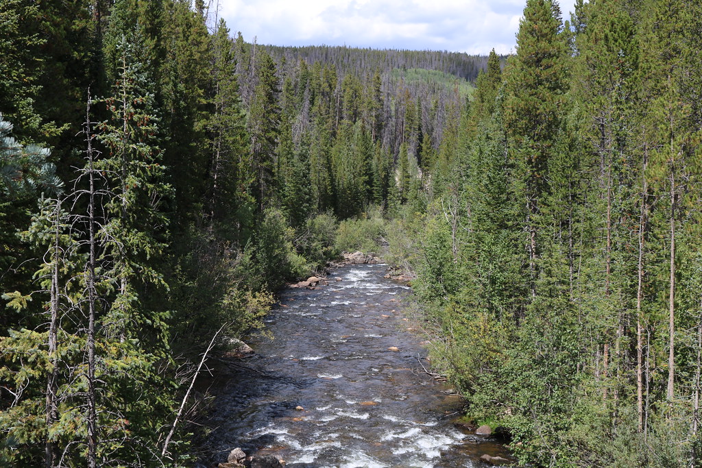
Water levels are typically highest during spring snowmelt from May to early July. Late summer and fall offer lower flows suitable for intermediate paddlers. The river is surrounded by ponderosa pine forests and rocky cliffs, providing habitat for wildlife like bighorn sheep, black bears, and eagles.
Key access points include Long Draw Reservoir, Livermore Bridge, and takeouts near the main stem confluence. The nearby town of Fort Collins serves as a base for most paddling trips. Multi-day wilderness trips are possible on the upper reaches for self-sufficient experts.
The North Fork played a role in early water development projects for agriculture and cities along Colorado's Front Range. Today it remains an important water source while also providing outstanding recreational opportunities.
Paddlers should be aware of wood hazards, remote settings with limited access, and the need for solid whitewater skills on most sections. Overall, the North Fork offers a scenic and challenging paddling experience for intermediate to advanced whitewater enthusiasts.
Curated routes
Hand-picked by the PaddleWays team, with put-ins, take-outs, paddle times and the hazards along the way.
RouteClass II–III
Hazards
No paddler has reported a hazard here yet, so these are the dams, falls and big rapids on our map. Hazards change with flows and storms, so check them before you launch.
From the community
Nobody has shared a trip on North Fork Cache La Poudre River yet. Paddle it, then tell the next paddler how it went.
See exactly where the public can get on and off the river. Launch points and boat ramps are paired with PaddleWays' public land data so you know where you can legally land.
Public shoreline
44%of the river's shoreline is public
Most of the riverbank is private. Launch, land and camp only at public access points.
Flows, weather and a route-by-route verdict, so you know which stretch of the North Fork Cache La Poudre River is worth paddling today.
All Flow Stations
Live flows, marked hazards and fresh trip reports from paddlers who were just on the water, all in one place.





Every user gets free access to launch points, boat ramps, and public property parcels.
Loading popular cities...
PaddleWays gives you everything you need to plan smarter, paddle better, and own every trip from first launch to takeout.