Pueblo Reservoir
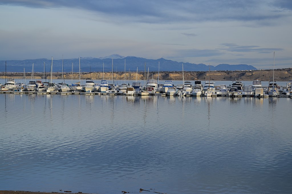
Pueblo Reservoir
- Boat Ramps
- 4
- Access Points
- 4
- Campsites
- 4
Pueblo Reservoir in Lake Pueblo State Park offers 4,600 surface acres of water for year-round paddling. The reservoir stretches 11 miles long with 60 miles of shoreline at full capacity. Located at 4,900 feet elevation, the park's mild climate allows for water activities throughout the seasons.
Paddlers can access the reservoir via two marinas - North Shore and South Shore. While motorized boating is permitted 24 hours a day, loading and unloading are restricted outside of designated ramp hours, which vary between winter and spring. The reservoir allows various watercraft including kayaks, canoes, motorboats, sailboards, and jet skis.
Safety considerations include sharing the water with motorized vessels and potential windy conditions. Wading is permitted, but swimming is prohibited in the reservoir itself. A designated swim beach at Rock Canyon, located below the dam, is open seasonally from Memorial Day through Labor Day.
The reservoir supports diverse fish populations, including channel catfish, largemouth bass, crappie, sunfish, trout, walleye, and wiper. Anglers can fish from boats or along the shoreline. Wildlife viewing opportunities abound both on the water and along the 34 miles of hiking and biking trails surrounding the lake.
Facilities for paddlers include 348 picnic sites scattered around the park and 400 year-round campsites with amenities like fire pits, covered tables, and nearby restrooms. The Pueblo River Trail connects to most park amenities.
Created in response to the 1921 Pueblo Flood, the reservoir now controls the Arkansas River's flow while providing recreation opportunities. The surrounding landscape offers views where the Great Plains meet the Rocky Mountains, creating a unique paddling backdrop.
Water access, boat ramps & amenities
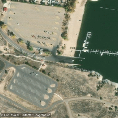
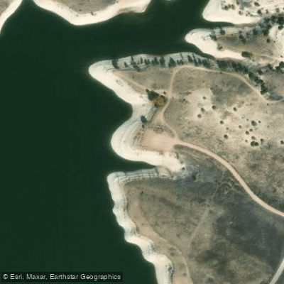
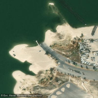
Learn how to get on Pueblo Reservoir. Uncover great paddling access points, boat ramps, and all the facilities you need for an unforgettable day on the water. Some locations shown may border or include private property. Always check property boundaries and applicable regulations before visiting. PaddleWays's Public & Private Land layer can help you plan your access with confidence.
Paddle smarter with real-time insights
Whether you're en route and conditions shift or you're looking for the best spot based on current flows, we enable you to make informed decisions on the fly.








Find Places to Paddle

Over 400,000 Places to Paddle
Every user gets free access to launch points, boat ramps, and public property parcels.


Water and weather conditions (10 day forecast)
See the best times to paddle Pueblo Reservoir and check the forecast before you go.
PBWW PUEBLO DAM INLET
All Flow Stations
Paddling near Pueblo Reservoir

Arkansas River
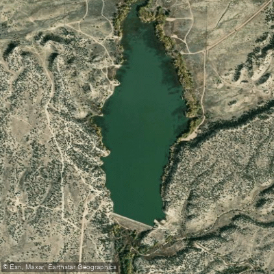
Brush Hollow Reservoir
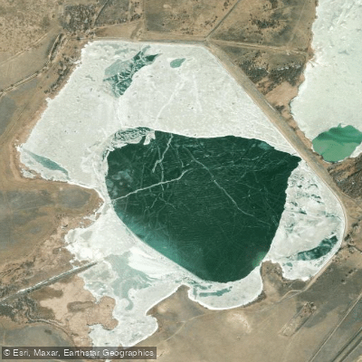
Saint Charles Reservoir Number 3
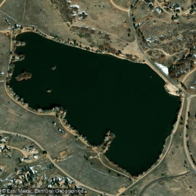
Beckwith Reservoir
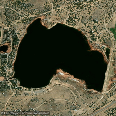
Martin Lake Reservoir
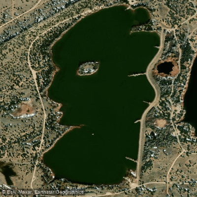
Horseshoe Lake Reservoir
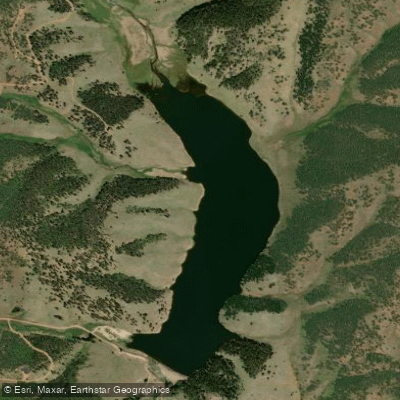
Skagway Reservoir
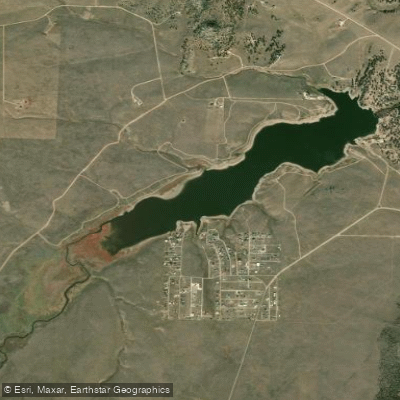
Deweese-Dye Reservoir
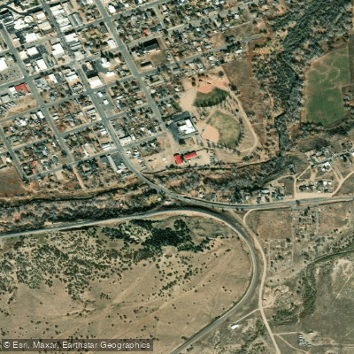
Cucharas River
Explore Colorado waters
Top paddling waters
Popular Cities
Loading popular cities...
Explore near Pueblo Reservoir
Access points
- Northshore Boat Ramp
- Pueblo Reservoir State Wildlife Area North Boat Ramp
- Southshore Boat Ramp
- Pueblo Reservoir State Wildlife Area South Boat Ramp
- Sh 96 Bridge
- Sh 96 Bridge
- Sh 96 Bridge
- Cr200 Red Creek Springs Bridge
- Sh 45 Pueblo Boulevard Bridge
- Sh 96 Bridge
- Yucca Flat Campground
- Prairie Ridge Campground
- All 14 spots
Nearby waters
More in Colorado

Smarter Paddling Starts in the App.
Paddleways gives you everything you need to plan smarter, paddle better, and own every trip from first launch to takeout.