Deweese-Dye Reservoir
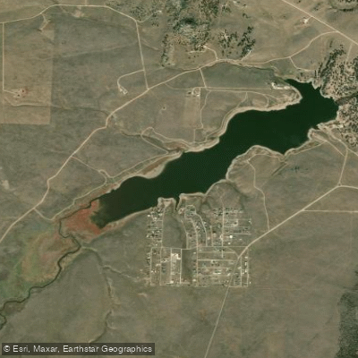
Deweese-Dye Reservoir
- Boat Ramps
- 1
- Access Points
- 10
- Campsites
- 0
Deweese-Dye Reservoir, located between the Sangre de Cristo Mountains and Wet Mountains in Custer County, Colorado, is a 318-acre impoundment that serves as both an irrigation reservoir and State Wildlife Area. Critical paddling restriction: vessel use is only permitted while actively fishing - other water recreation is limited to property owners with deeded recreation rights.
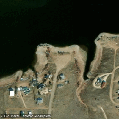
The reservoir spans 208 acres of the 2,336-acre wildlife area and reflects the dramatic peaks of the Sangre de Cristo range. The lake features a dam at the head of Grape Creek Canyon, approximately 6 miles north of Westcliffe. Vault toilets and picnic tables represent the extent of amenities available.
Wildlife viewing opportunities include white pelicans, grebes, avocets, and various waterfowl, with many species nesting near the shoreline. Willows along the lake's head provide habitat for warblers and songbirds. The lake supports populations of rainbow trout, brown trout, brook trout, smallmouth bass, and tiger muskie.
The lake occasionally experiences blue-green algae blooms during warmer weather, typically monitored and managed by Colorado Parks and Wildlife. A valid hunting or fishing license or State Wildlife Area pass is required for all visitors 16 and older.
For those authorized to paddle while fishing, the lake is open year-round when conditions permit. The surrounding terrain includes rolling gravel roads with some challenging hills on the east end, and the landscape transitions between sagebrush prairie and willow-lined shorelines. Basic camping is available around the lake and in a designated campground area, though reservations are required for camping.
Water access, boat ramps & amenities
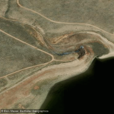
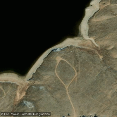
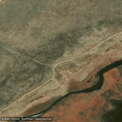
Learn how to get on Deweese-Dye Reservoir. Uncover great paddling access points, boat ramps, and all the facilities you need for an unforgettable day on the water. Some locations shown may border or include private property. Always check property boundaries and applicable regulations before visiting. PaddleWays's Public & Private Land layer can help you plan your access with confidence.
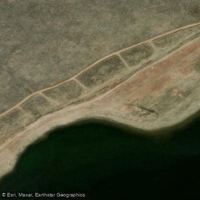
DeWeese Reservoir Access
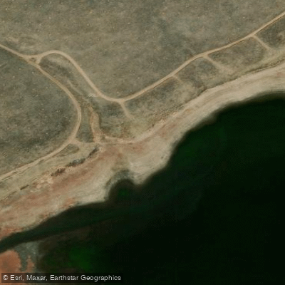
DeWeese Reservoir Access
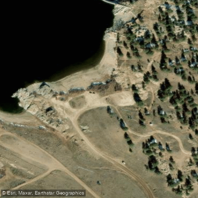
DeWeese Reservoir Access
DeWeese Reservoir Access
DeWeese Reservoir Access
DeWeese Reservoir Access
DeWeese Reservoir Access
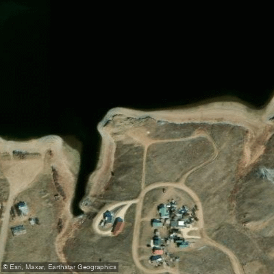
DeWeese Reservoir Access
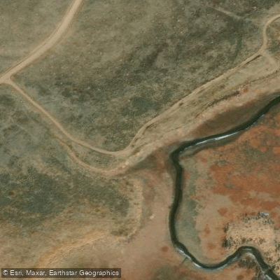
DeWeese Reservoir Access
Paddle smarter with real-time insights
Whether you're en route and conditions shift or you're looking for the best spot based on current flows, we enable you to make informed decisions on the fly.








Find Places to Paddle

Over 400,000 Places to Paddle
Every user gets free access to launch points, boat ramps, and public property parcels.


Water and weather conditions (10 day forecast)
See the best times to paddle Deweese-Dye Reservoir and check the forecast before you go.
DEWEESE RESERVOIR
All Flow Stations
Paddling near Deweese-Dye Reservoir

Arkansas River

Rio Grande
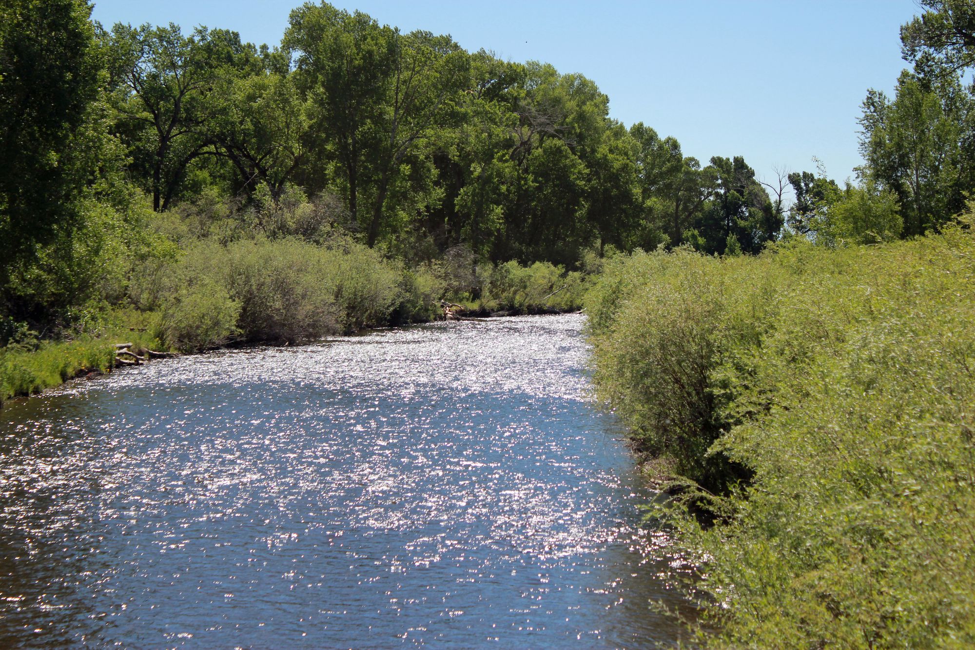
Conejos River
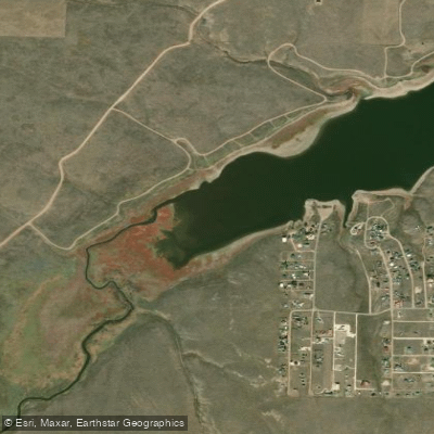
Grape Creek
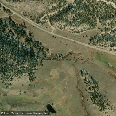
Texas Creek
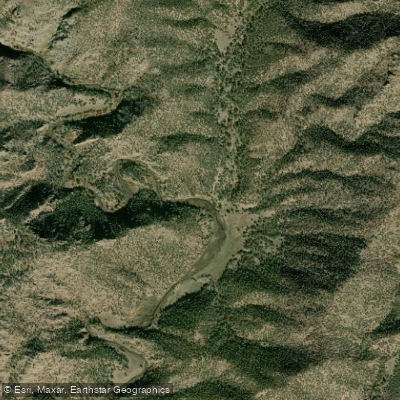
Fourmile Creek
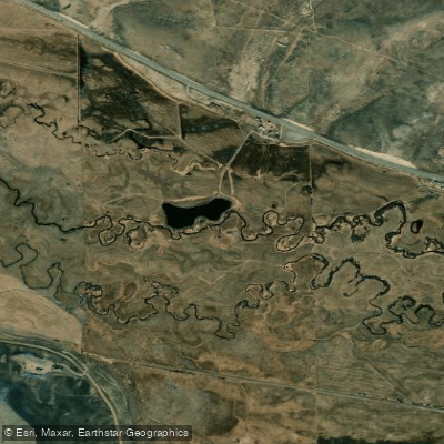
Tomichi Creek
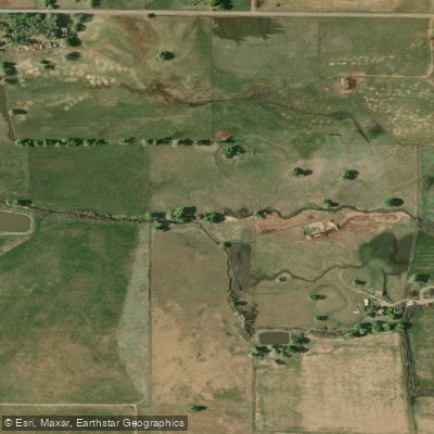
La Jara Creek
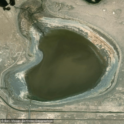
San Luis Lake
Explore Colorado waters
Top paddling waters
Popular Cities
Loading popular cities...
Explore near Deweese-Dye Reservoir
Access points
Nearby waters
More in Colorado

Smarter Paddling Starts in the App.
Paddleways gives you everything you need to plan smarter, paddle better, and own every trip from first launch to takeout.