Saint Charles Reservoir Number 3
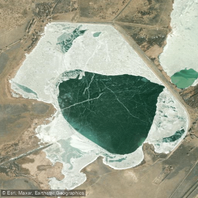
Saint Charles Reservoir Number 3
- Boat Ramps
- 0
- Access Points
- 0
- Campsites
- 0
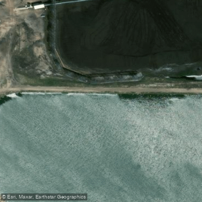
Saint Charles Reservoir Number 3 is located approximately 2 miles from Pueblo, Colorado. The reservoir has a surface area of 633 acres and a maximum storage capacity of 13,940 acre-feet. It is formed by an earthen embankment dam that is 8,736 feet long and 53 feet high.
The reservoir serves primarily as a water supply source but also offers recreational opportunities. Paddlers should be aware that the lake's primary purpose is not recreation, which may affect water levels and access throughout the year.
The dam features a 658-foot wide uncontrolled spillway with a maximum discharge capacity of 30,500 cubic feet per second. Paddlers should exercise caution near this area and be aware of potential water level fluctuations.
The total catchment area of the reservoir is 22 square miles, suggesting a relatively small watershed. This may influence water quality and levels, particularly during dry periods.
While specific paddling regulations are not posted, visitors should assume that standard water safety rules apply. Life jackets are likely required, and paddlers should be prepared for changing weather conditions.
The reservoir's location in Pueblo County means a semi-arid climate. Paddlers should be prepared for potentially hot, dry conditions during summer months and cooler temperatures in winter.
Access points and facilities for paddlers may be limited, given the reservoir's primary purpose as a water supply. Wildlife sightings are possible, but specific details are not available.
The dam was commissioned in 1913, giving it over a century of history. It is currently owned by EVRAZ INC., which may influence access policies and recreational use.
Paddlers planning a trip to Saint Charles Reservoir Number 3 should contact local authorities or the reservoir management for current conditions, access points, and any specific regulations before visiting.
Water access, boat ramps & amenities
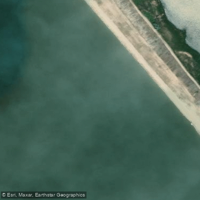
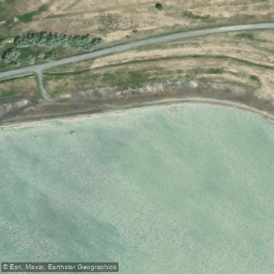
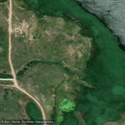
Learn how to get on Saint Charles Reservoir Number 3. Uncover great paddling access points, boat ramps, and all the facilities you need for an unforgettable day on the water. Some locations shown may border or include private property. Always check property boundaries and applicable regulations before visiting. PaddleWays's Public & Private Land layer can help you plan your access with confidence.
Paddle smarter with real-time insights
Whether you're en route and conditions shift or you're looking for the best spot based on current flows, we enable you to make informed decisions on the fly.








Find Places to Paddle

Over 400,000 Places to Paddle
Every user gets free access to launch points, boat ramps, and public property parcels.


Water and weather conditions (10 day forecast)
See the best times to paddle Saint Charles Reservoir Number 3 and check the forecast before you go.
No forecast data available.
Paddling near Saint Charles Reservoir Number 3

Arkansas River
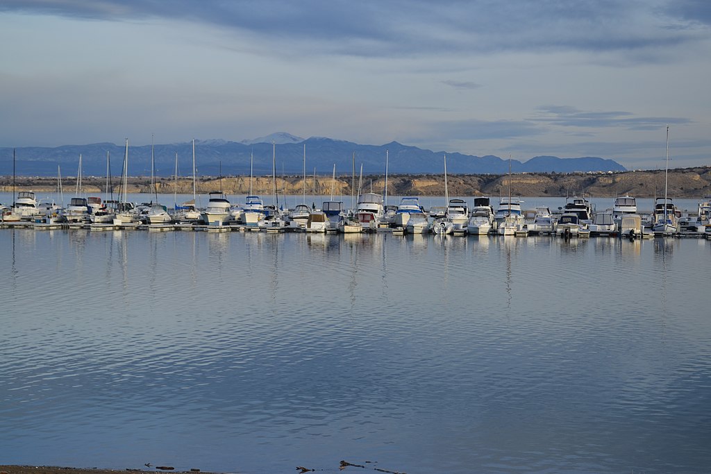
Pueblo Reservoir
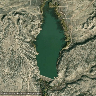
Brush Hollow Reservoir
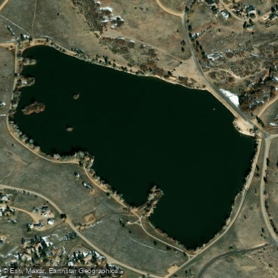
Beckwith Reservoir
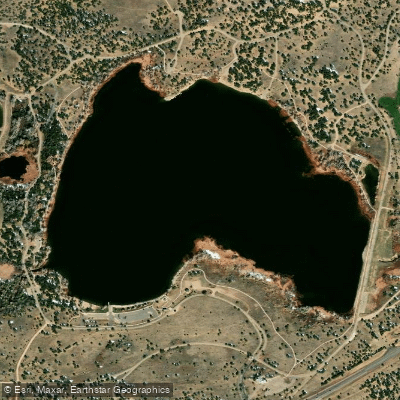
Martin Lake Reservoir
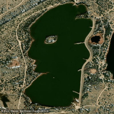
Horseshoe Lake Reservoir
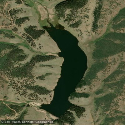
Skagway Reservoir
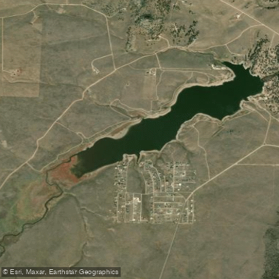
Deweese-Dye Reservoir
Cucharas River
Explore Colorado waters
Top paddling waters
Popular Cities
Loading popular cities...
Explore near Saint Charles Reservoir Number 3
Access points
Nearby waters
More in Colorado

Smarter Paddling Starts in the App.
Paddleways gives you everything you need to plan smarter, paddle better, and own every trip from first launch to takeout.