Curated by PaddleWays
RouteClass III–IV
- Distance
- 13.7 mi
- Paddle time
- ~3.5 hrs
- Best for
- Kayak, raft
- Put-in → take-out
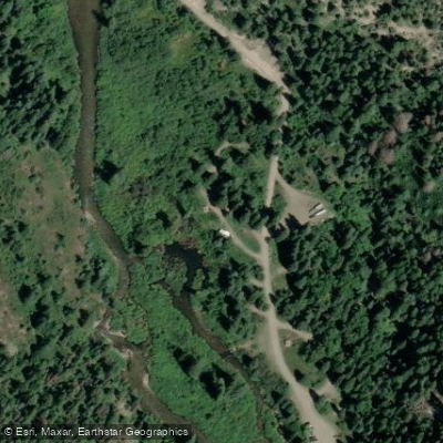
- South Fork Campground Hand Launch → Oak Ridge State Wildlife Area Access
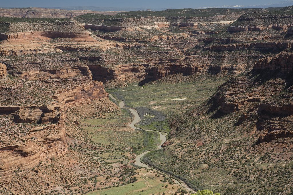
The South Fork White River originates high in Colorado's White River National Forest, flowing northwestward through Rio Blanco County before joining the North Fork to form the main stem of the White River. This pristine mountain stream carves its way through forested canyons and alpine meadows, offering paddlers a wilderness experience in the heart of the Rocky Mountains. The river's most popular paddling section runs 10 miles from a National Forest Campground to the confluence with the North Fork. This challenging stretch features continuous Class III-IV whitewater, requiring solid technical skills to navigate the boulder-strewn rapids. The surrounding landscape is dominated by towering pines and rugged cliffs, providing a scenic backdrop for adventurous kayakers and rafters.
Paddling season typically runs from late spring through early summer, with optimal flows occurring during the snowmelt period of May and June. During this time, the South Fork transforms into a lively torrent, attracting skilled whitewater enthusiasts from across the region. As summer progresses, water levels drop, potentially exposing more rocks and increasing technical difficulty.
Wildlife is abundant along the South Fork, with opportunities to spot elk, mule deer, and various bird species. The river corridor also supports a healthy trout population, making it a favorite among fly fishermen.
Access to the South Fork is primarily through the White River National Forest. The put-in at the National Forest Campground offers amenities for overnight trips, while the take-out near the North Fork confluence allows paddlers to continue downstream on the main White River if desired. For those seeking a multi-day adventure, it's possible to combine the South Fork run with sections of the main White River, potentially extending the trip all the way to the town of Meeker. However, paddlers should be aware that some stretches may require advanced wayfinding skills and self-sufficiency in a remote environment.
Safety is paramount on the South Fork White River. Its isolated nature and challenging rapids demand respect and proper preparation. Paddlers should be equipped with appropriate safety gear and possess the skills to self-rescue in swift water. Additionally, as the river flows through National Forest land, visitors should adhere to Leave No Trace principles and any specific regulations set forth by the U.S. Forest Service.
The South Fork White River offers a true Colorado backcountry paddling experience, combining technical whitewater with unspoiled mountain scenery. For those with the skills and spirit of adventure, it provides an unforgettable journey through one of the state's most pristine river corridors.
Curated routes
Hand-picked by the PaddleWays team, with put-ins, take-outs, paddle times and the hazards along the way.
RouteClass III–IV
Hazards
No paddler has reported a hazard here yet, so these are the dams, falls and big rapids on our map. Hazards change with flows and storms, so check them before you launch.
From the community
Nobody has shared a trip on South Fork White River yet. Paddle it, then tell the next paddler how it went.
See exactly where the public can get on and off the river. Launch points and boat ramps are paired with PaddleWays' public land data so you know where you can legally land.
Public shoreline
67%of the river's shoreline is public
Flows, weather and a route-by-route verdict, so you know which stretch of the South Fork White River is worth paddling today.
All Flow Stations
Live flows, marked hazards and fresh trip reports from paddlers who were just on the water, all in one place.





Every user gets free access to launch points, boat ramps, and public property parcels.
Loading popular cities...
PaddleWays gives you everything you need to plan smarter, paddle better, and own every trip from first launch to takeout.