Curated by PaddleWays
RouteClass II–III
- Distance
- 35.2 mi
- Paddle time
- ~9 hrs
- Best for
- Intermediate paddlers
- Put-in → take-out
- White Avenue Launch Site → Bonanza Bridge Boat Ramp
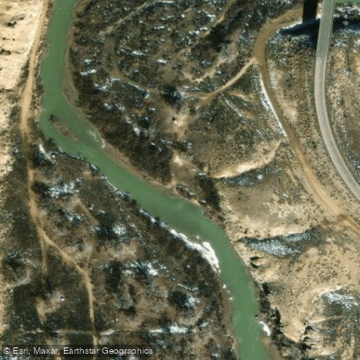
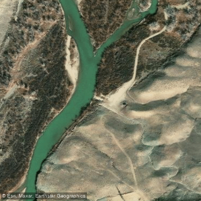
The White River originates in the Flat Tops Wilderness of northwestern Colorado, where its North and South Forks converge near Buford in eastern Rio Blanco County. From this confluence at approximately 6,900 feet elevation, the river flows westward for roughly 195 miles before joining the Green River in Uintah County, Utah, at an elevation near 4,650 feet. This gentle gradient of approximately 5.7 feet per mile creates a predominantly flatwater experience punctuated by occasional Class I-II rapids, making it ideal for open canoes, kayaks, and rafts.
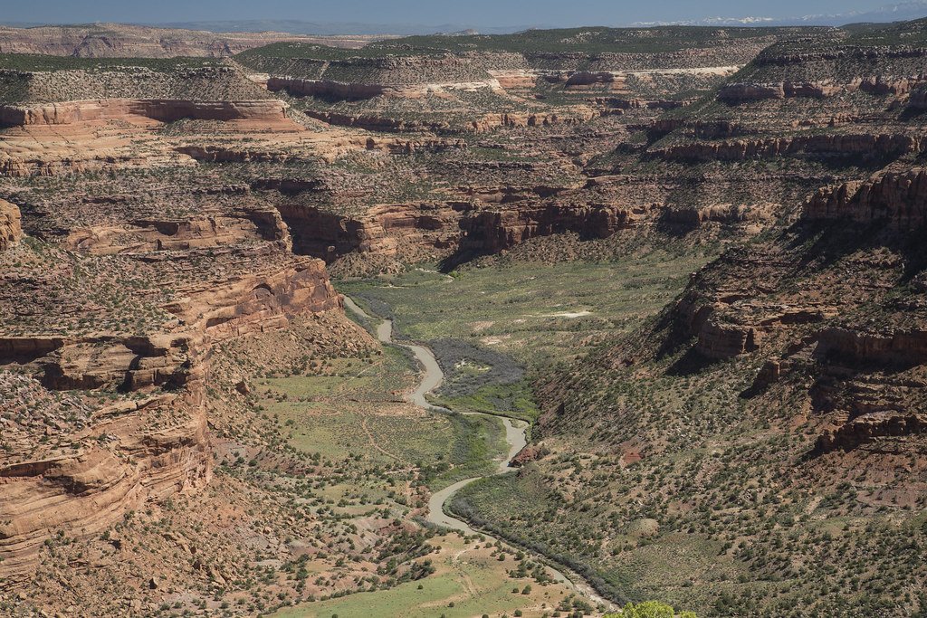
The river corridor carves through high desert canyon country, with towering sandstone cliffs rising over 5,000 feet in places like Desolation Canyon. The landscape transitions from Colorado's ranchlands and oil fields near Rangely through increasingly remote wilderness as it enters Utah. Notable geological features include the "pyramids" formed by Castlegate Sandstone protecting softer Mancos Shale, and the ephemeral formations of Fantasy Canyon accessible from the river corridor.
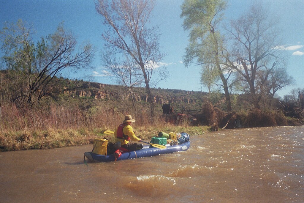
Paddling opportunities span from short day trips to multi-day expeditions. The most popular section runs 35 miles from Bonanza Bridge (near Bonanza, Utah) to the Enron Boat Ramp, typically requiring 2-3 days. Extended trips of 63-95 miles begin from Rangely, Colorado, offering complete wilderness immersion. Flow levels between 1,500-2,500 cfs during spring runoff (mid-April through mid-June) provide optimal conditions, though the river remains navigable from March through November when ice-free. Summer flows drop to 400-600 cfs, requiring careful navigation around shallow riffles and sandbars.
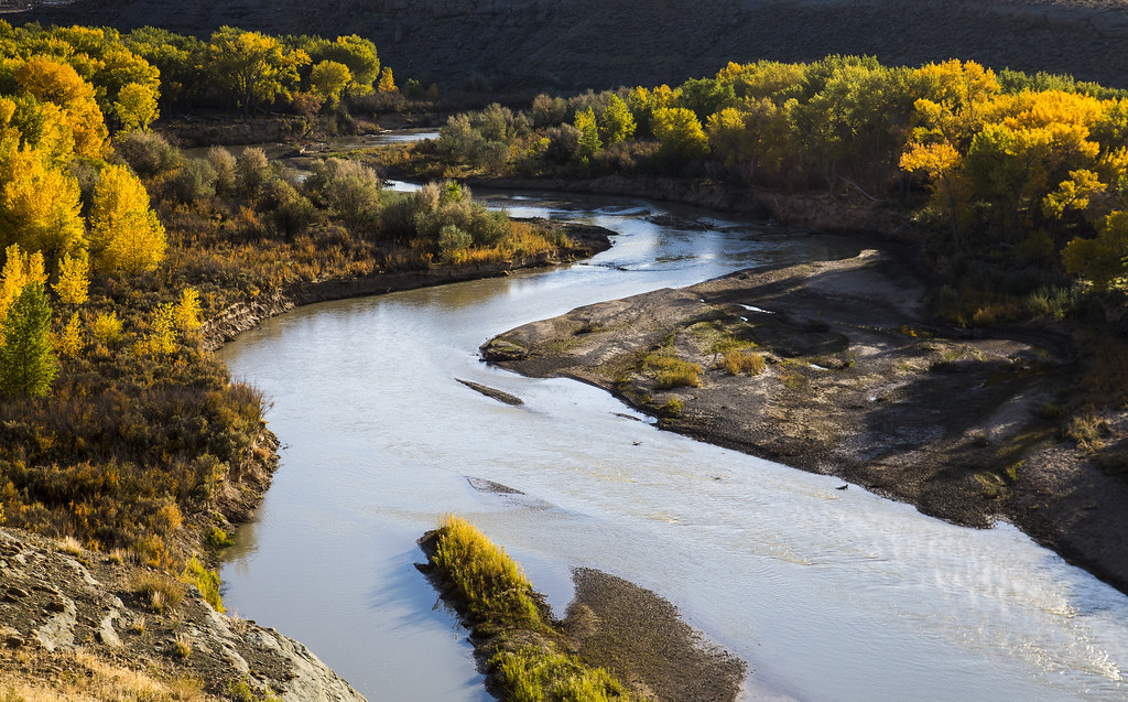
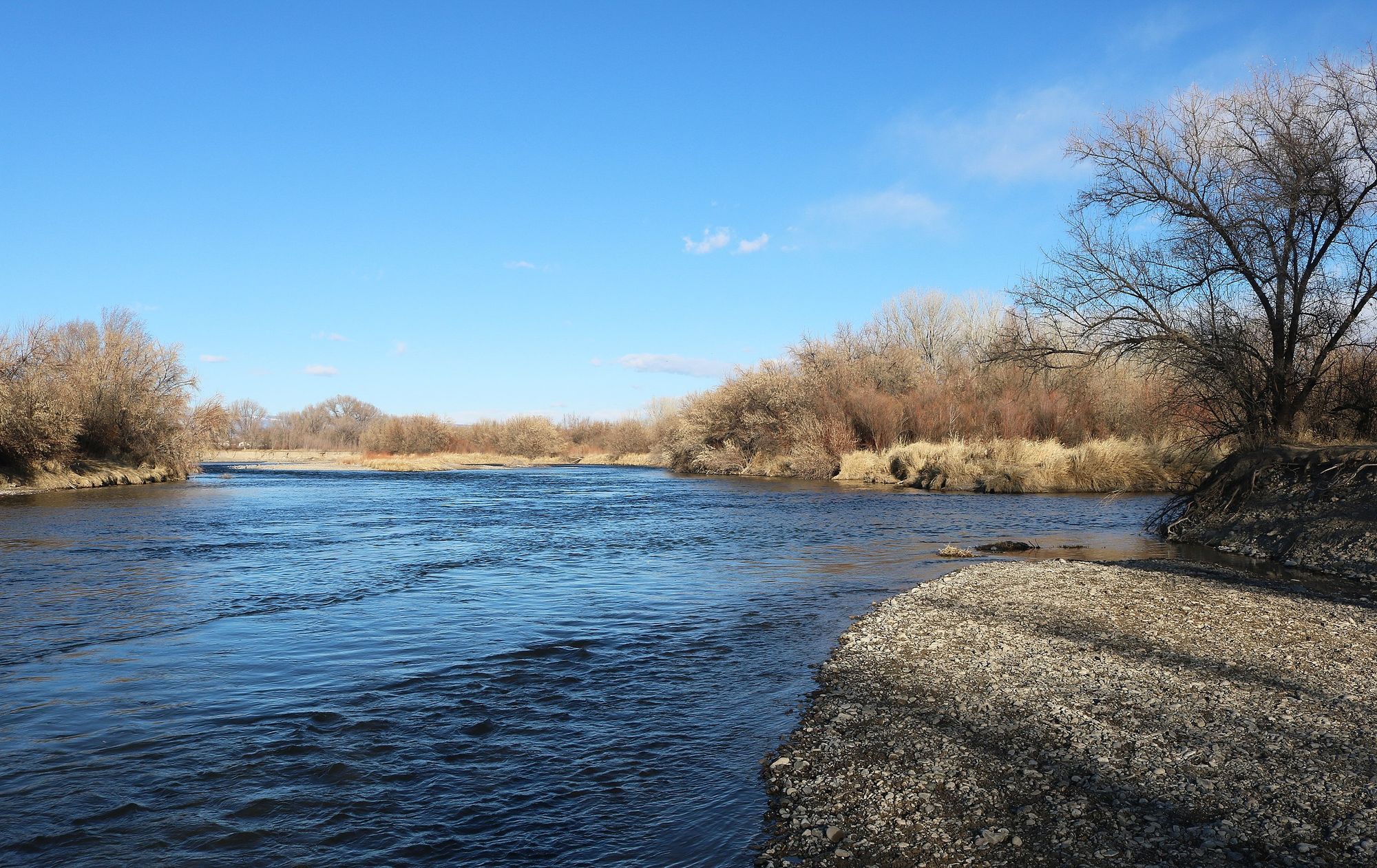
The riparian corridor supports cottonwood and willow groves interspersed with invasive Russian olive and tamarisk. Wildlife includes mule deer, wild horses, pronghorn, beaver, river otters, and occasional black bear. The river serves as critical habitat for the endangered Colorado pikeminnow. Bald eagles winter along the lower stretches, while great blue herons, Canada geese, and various raptors inhabit the canyon year-round.
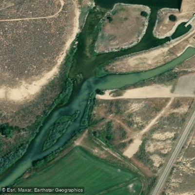
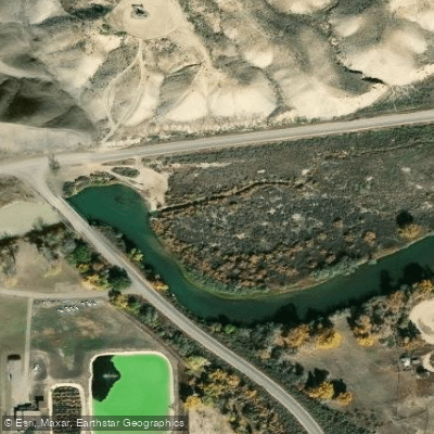
Access points include Taylor Draw (MM-105), Rangely Camper Park (MM-100), White Avenue Bridge (MM-96), Bonanza Bridge (MM-59), and Enron Boat Ramp (MM-24). The Mountain Fuel Bridge takeout (MM-20) lies within the Uintah and Ouray Reservation, requiring tribal permits. Rangely serves as the primary supply town, with Vernal, Utah providing services for lower sections.
Historical significance includes John Wesley Powell's 1871 expedition members hiking to "Goblin City" from the river, and the area's role in early fur trapping and later mineral extraction, particularly gilsonite mining near Bonanza. Ancient Fremont pictographs and petroglyphs appear along tributary canyons.
Hazards include strainers from undercut cottonwoods, especially between Rangely and Bonanza Bridge where post-dam channel adjustments continue. Summer heat, intense sun exposure, and prolific mosquitoes and gnats require preparation. No potable water exists along the route, necessitating filtration or carrying supplies. Cell phone coverage is nonexistent throughout most sections.
Curated routes
Hand-picked by the PaddleWays team, with put-ins, take-outs, paddle times and the hazards along the way.
RouteClass II–III
RouteClass II
Hazards
No paddler has reported a hazard here yet, so these are the dams, falls and big rapids on our map. Hazards change with flows and storms, so check them before you launch.
From the community
Nobody has shared a trip on White River yet. Paddle it, then tell the next paddler how it went.
See exactly where the public can get on and off the river. Launch points and boat ramps are paired with PaddleWays' public land data so you know where you can legally land.
Public shoreline
30%of the river's shoreline is public
Most of the riverbank is private. Launch, land and camp only at public access points.
Flows, weather and a route-by-route verdict, so you know which stretch of the White River is worth paddling today.
All Flow Stations
Live flows, marked hazards and fresh trip reports from paddlers who were just on the water, all in one place.





Every user gets free access to launch points, boat ramps, and public property parcels.
Loading popular cities...
PaddleWays gives you everything you need to plan smarter, paddle better, and own every trip from first launch to takeout.