Curated by PaddleWays
RouteClass I–II
- Distance
- 2 mi
- Paddle time
- 1–2 hrs
- Best for
- Kayak, raft, tube
- Put-in → take-out
- Yampa River Park Access → Stockbridge Transit Center Access
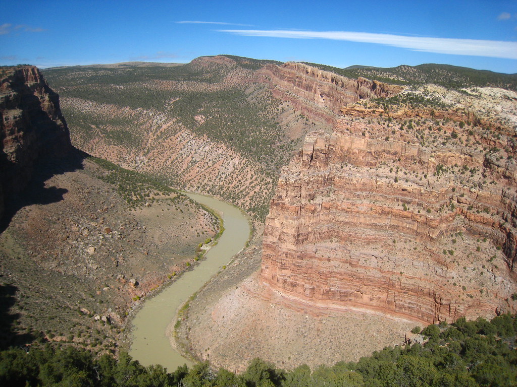
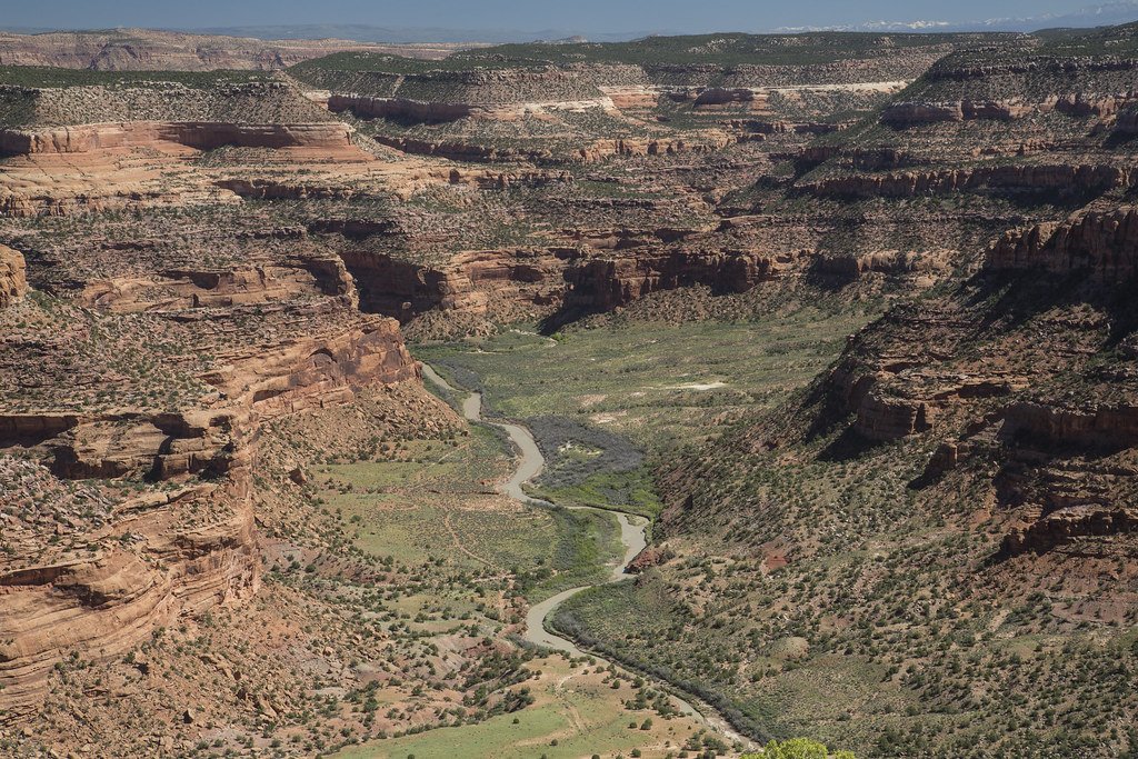
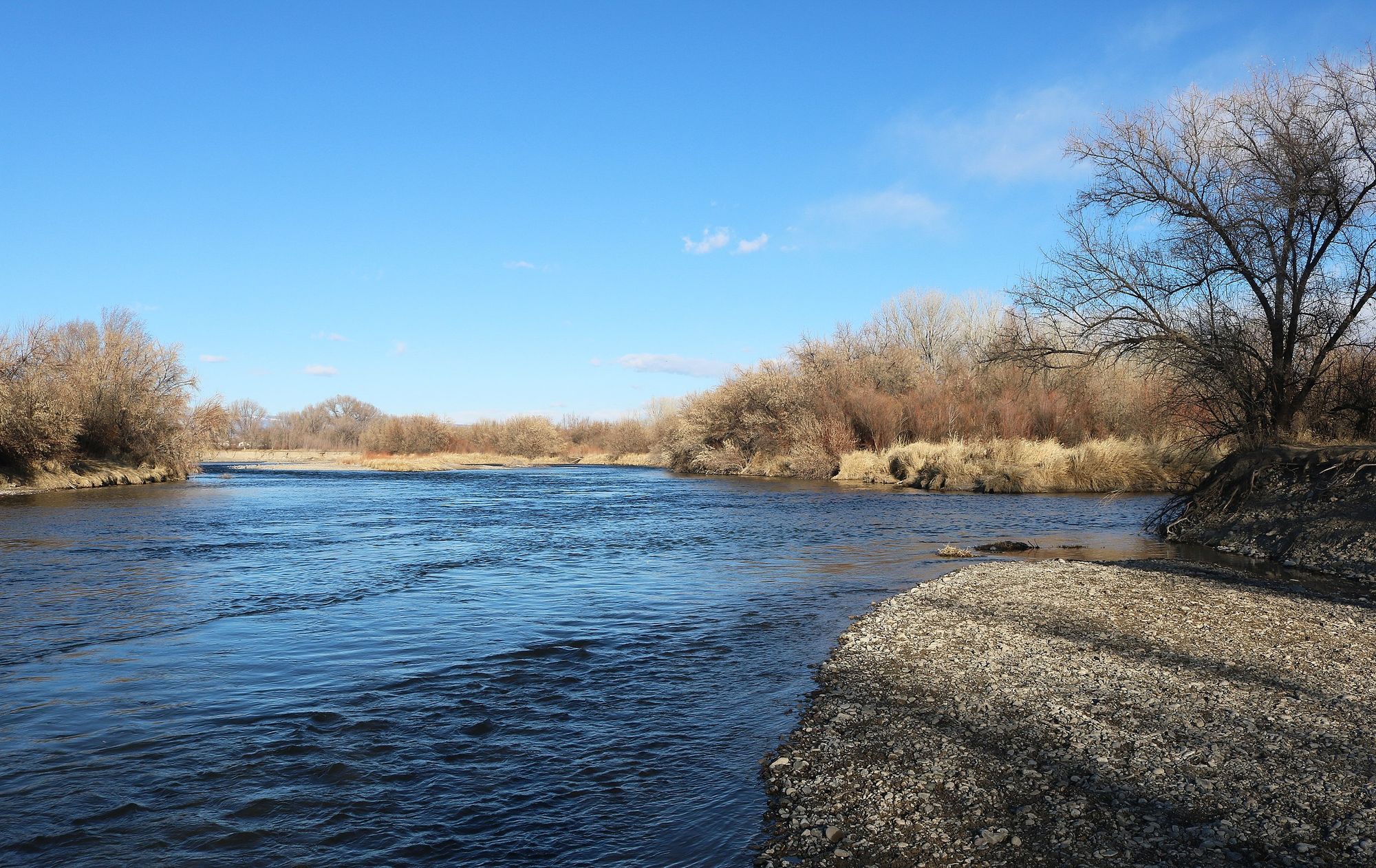
The Yampa River, flowing through northwestern Colorado, stands as one of the West's last major free-flowing rivers. This 250-mile waterway begins in the Flat Tops Wilderness Area and meanders through diverse landscapes before joining the Green River in Dinosaur National Monument.
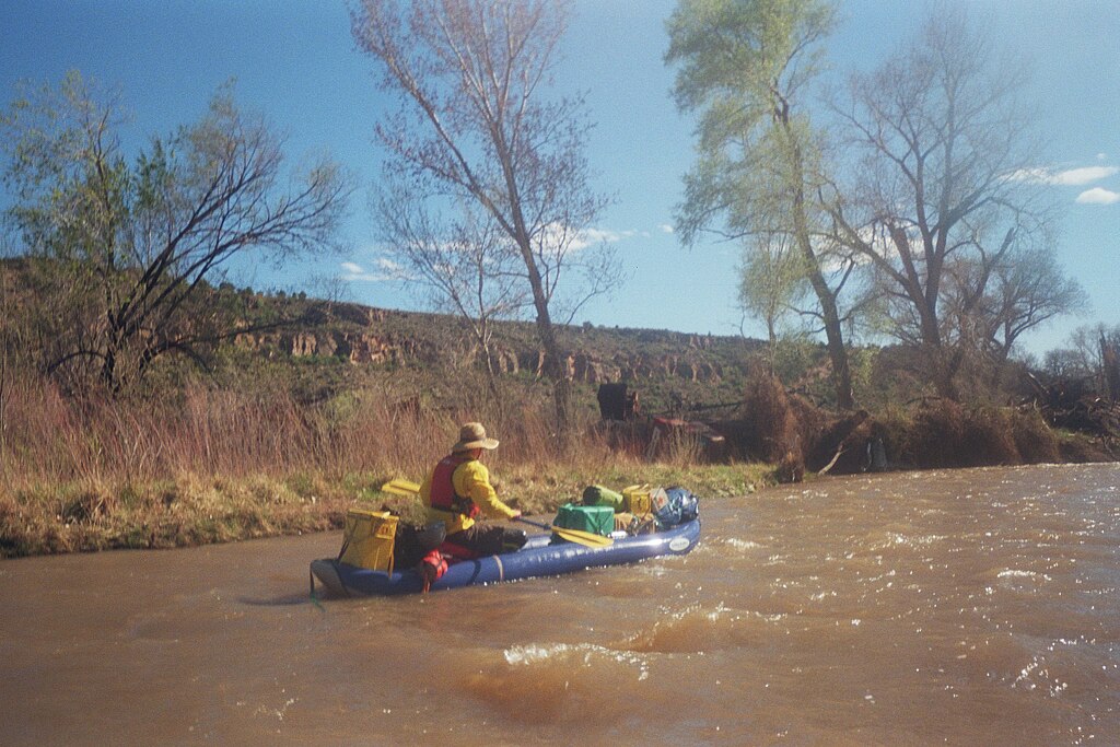
The river offers a variety of paddling experiences, from family-friendly floats to challenging whitewater. Near Steamboat Springs, a popular 2-3 mile town run provides Class I-II+ rapids, perfect for beginners and tubers. Downstream, the Little Yampa Canyon offers a scenic 32-mile stretch of flatwater, ideal for canoes and kayaks. For more experienced paddlers, the Cross Mountain Gorge presents a thrilling 4-mile Class IV-V run.
The Yampa's difficulty ranges from placid flatwater to expert-level rapids, accommodating all skill levels. However, the river's character can change dramatically with seasonal fluctuations, so it's crucial to check current conditions before embarking on any trip.
Peak paddling season typically runs from May through June, coinciding with snowmelt. During this time, the Yampa can transform from a gentle stream to a raging torrent, with flows varying from 300 to 30,000 cubic feet per second. Late summer and fall offer more stable conditions for flatwater paddling, though water levels may be low.
The river corridor supports a rich ecosystem, home to cottonwood galleries, Great Blue Herons, and bald eagles. Lucky paddlers might spot mule deer, elk, or even the occasional black bear along the banks. Notable landmarks include the smooth Weber sandstone walls of Yampa Canyon, the confluence with the Green River at Echo Park, and the imposing Cross Mountain.
The river passes through or near several towns, including Steamboat Springs, Craig, and Maybell, each offering access points and amenities for river users. Historically, the Yampa played a crucial role in the development of northwestern Colorado. Today, it remains a vital resource for agriculture, recreation, and wildlife, while also holding immense cultural significance for Native American tribes in the region.
Safety is paramount on the Yampa. Paddlers should be aware of rapidly changing conditions, especially during spring runoff. Some sections, like Cross Mountain Gorge, require advanced skills and self-rescue abilities. Always check current regulations, as permits are required for certain stretches, particularly within Dinosaur National Monument.
For those seeking a multi-day adventure, the 71-mile trip through Dinosaur National Monument from Deerlodge Park to Split Mountain is a bucket-list experience. This 4-5 day journey combines stunning scenery, exciting rapids, and rich cultural history. However, it requires a permit obtained through a competitive lottery system.
The Yampa River State Park, stretching 134 miles from Hayden to the Utah border, provides numerous access points and camping opportunities for shorter trips. Whether you're looking for a quick float or an extended wilderness experience, the Yampa River offers a paddling adventure for everyone, set against the backdrop of Colorado's breathtaking landscapes.
Curated routes
Hand-picked by the PaddleWays team, with put-ins, take-outs, paddle times and the hazards along the way.
RouteClass I–II
RouteClass II
RouteClass IV–V
RouteClass II
RouteFlatwater
RouteClass II
RouteClass II
RouteFlatwater
RouteClass II–III
RouteClass I–III
RouteFlatwater
RouteClass III–IV
Hazards
No paddler has reported a hazard here yet, so these are the dams, falls and big rapids on our map. Hazards change with flows and storms, so check them before you launch.
From the community
Nobody has shared a trip on Yampa River yet. Paddle it, then tell the next paddler how it went.
See exactly where the public can get on and off the river. Launch points and boat ramps are paired with PaddleWays' public land data so you know where you can legally land.
Public shoreline
43%of the river's shoreline is public
Most of the riverbank is private. Launch, land and camp only at public access points.
Flows, weather and a route-by-route verdict, so you know which stretch of the Yampa River is worth paddling today.
All Flow Stations
Live flows, marked hazards and fresh trip reports from paddlers who were just on the water, all in one place.





Every user gets free access to launch points, boat ramps, and public property parcels.
What you need to float or boat Yampa River, and when to apply.
Deerlodge Park to Echo Park
Lottery permit · Private trips · Required year-round
Every boating trip on the Green and Yampa in Dinosaur needs a permit, and high-season launches are drawn in a lottery.
Checked Nov 4, 2026 with Dinosaur National Monument
Loading popular cities...
PaddleWays gives you everything you need to plan smarter, paddle better, and own every trip from first launch to takeout.