Marcus Hook Bar
- Saltwater
- Sea area
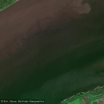
Marcus Hook Bar
- Saltwater
- Sea area
- Sq. miles
- 0.3
- Boat Ramps
- 0
- Access Points
- 0
- Campsites
- 0
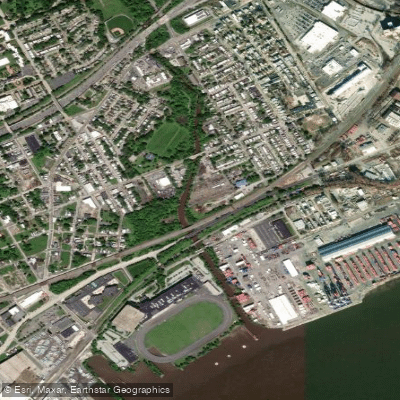
Marcus Hook Bar is a shallow, submerged shoal located in the tidal Delaware River, approximately 1.8 miles from the reference point of Marcus Hook, Pennsylvania. Its coordinates are approximately 39.7933° N, 75.4338° W. This is a significant commercial shipping area, as evidenced by a historical 1985 oil spill incident where the tanker Grand Eagle ran aground on the bar. For paddlers, this underscores the primary hazard: substantial and frequent commercial vessel traffic. The bar itself is a flat-bottomed area, referenced as a preferred anchorage site for larger vessels, meaning paddlers must maintain extreme vigilance and avoid designated anchorage zones. The water body is subject to strong tidal currents, with a specific current monitoring station named "Marcus Hook Bar (north)" indicating currents should be a major planning factor. Paddlers must consult detailed, real-time tide and current charts for the Delaware River, as predictions are estimates and not for navigation. The area is exposed, with a long fetch up and down the river, making wind a significant concern; conditions can deteriorate rapidly. There are no specific paddler launches, amenities, or recommended routes mentioned for the bar itself. It is situated in a heavily industrialized stretch of the river between Marcus Hook, PA, and the mouth of Mantua Creek in New Jersey. Water quality has been impacted by historical oil spills and other industrial activity. The overall character for paddlers is one of a challenging, open-water environment suited only for experienced paddlers with proper safety gear, detailed knowledge of maritime rules, and the ability to handle strong currents, ship wakes, and potential rough water. Paddling here requires careful timing with tidal flows and ideal weather conditions.
Water access, boat ramps & amenities
Learn how to get on Marcus Hook Bar. Uncover great paddling access points, boat ramps, and all the facilities you need for an unforgettable day on the water. Some locations shown may border or include private property. Always check property boundaries and applicable regulations before visiting. PaddleWays's Public & Private Land layer can help you plan your access with confidence.
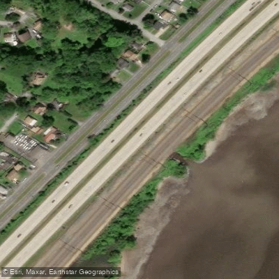
Hollyoak Creek Bridge
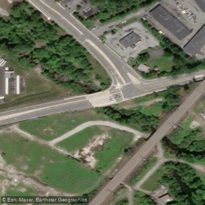
Naamans Creek/haul Road Bridge
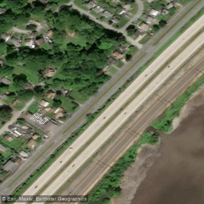
Hollyoak Creek Bridge
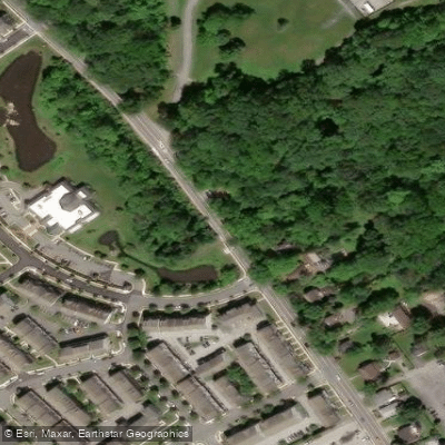
Naamans Creek Bridge
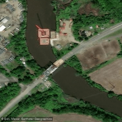
Oldmans Creek Bridge
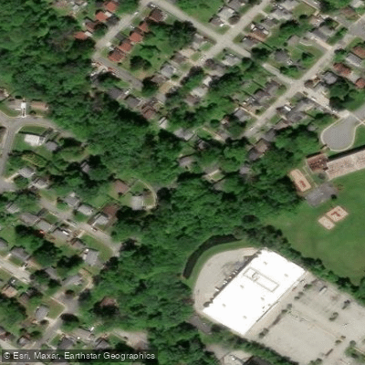
Trib Of Holly Oak Creek Bridge
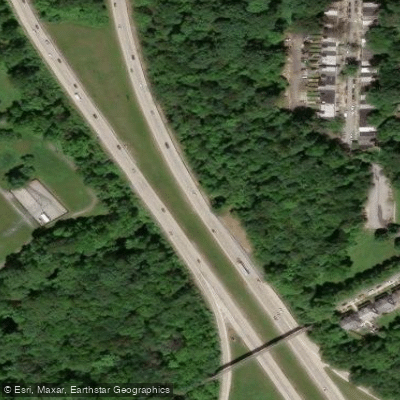
So.branch-naamans Creek Bridge
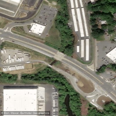
Naamans Creek Bridge
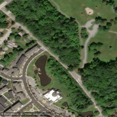
Naamans Creek Bridge
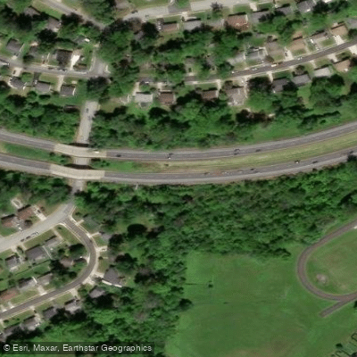
So.branch Naamans Creek Bridge
Paddle smarter with real-time insights
Whether you're en route and conditions shift or you're looking for the best spot based on current flows, we enable you to make informed decisions on the fly.








Find Places to Paddle

Over 400,000 Places to Paddle
Every user gets free access to launch points, boat ramps, and public property parcels.


Tides, wind & water conditions (10 day forecast)
On open water, wind and tide matter as much as the weather. See the best times to paddle Marcus Hook Bar and check the marine forecast before you launch.
Loading tide predictions…
Paddling near Marcus Hook Bar

Delaware River
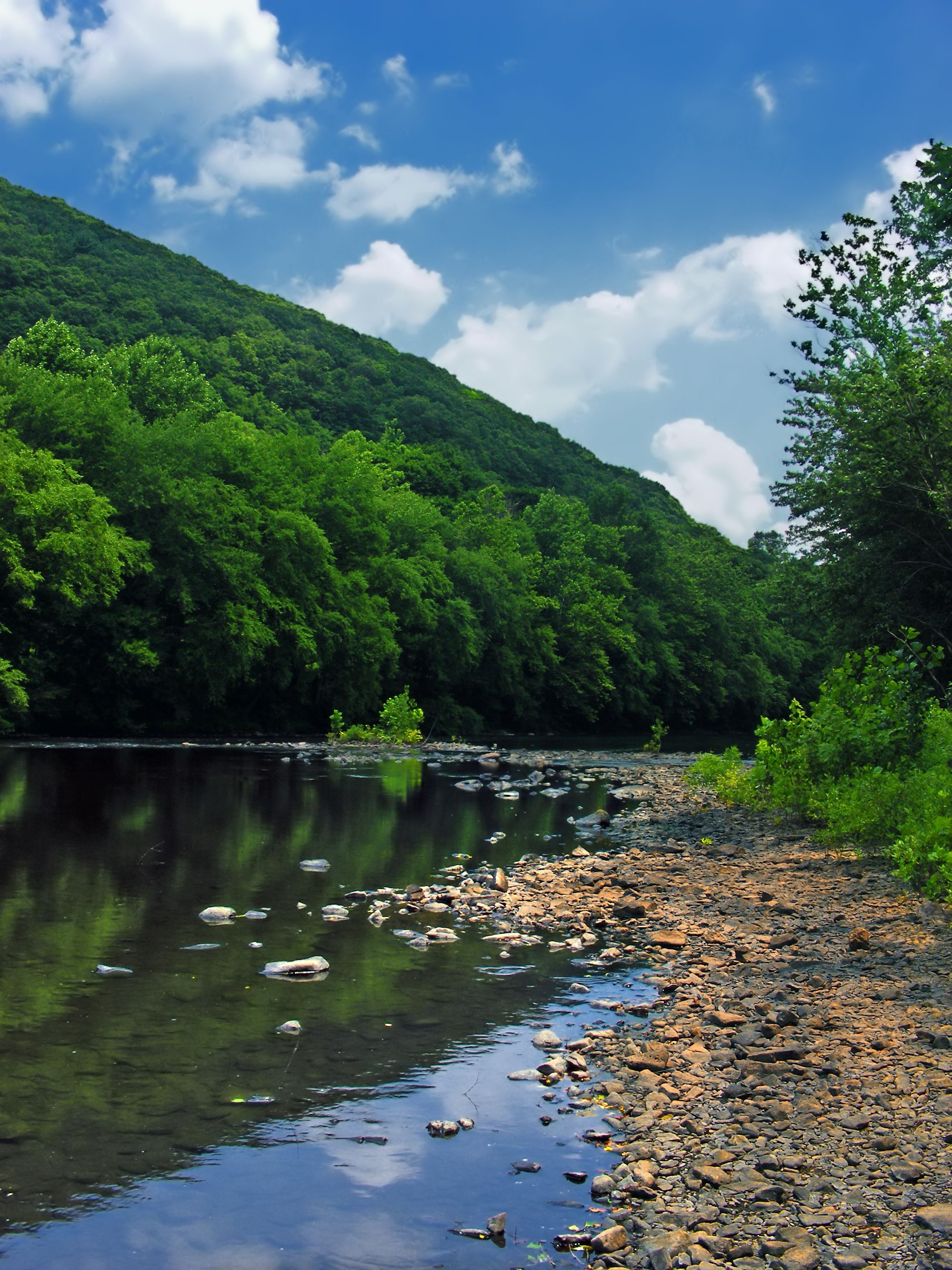
Schuylkill River
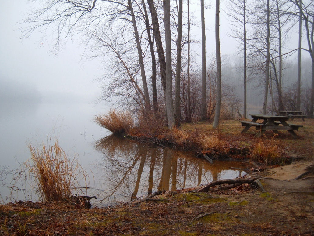
Lums Pond
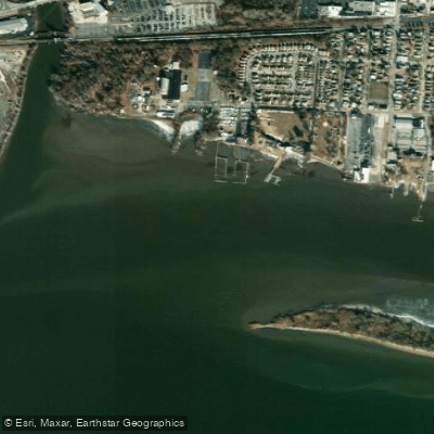
Delaware River, Essington, PA
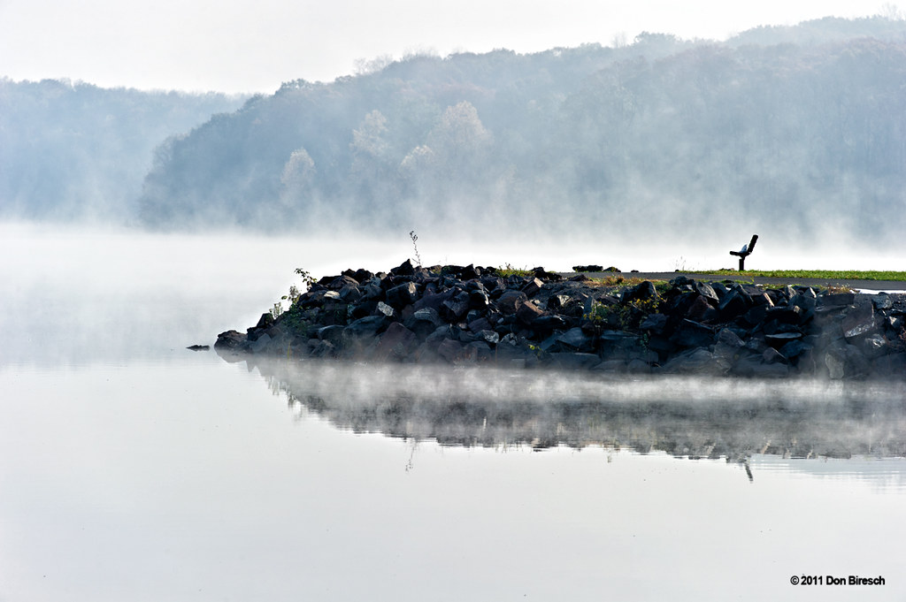
Lake Nockamixon
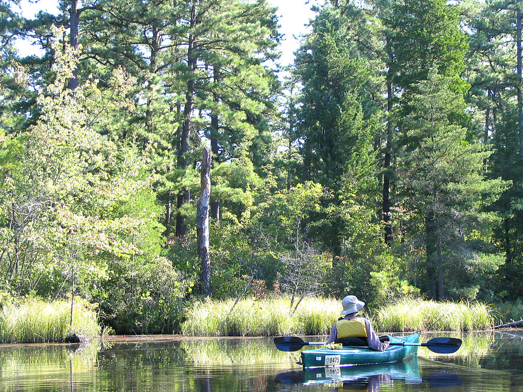
Mullica River
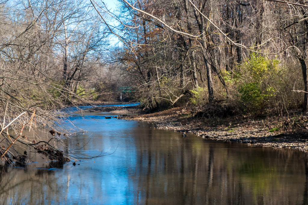
Ridley Creek
Wissahickon Creek
Explore Delaware waters
Top paddling waters
Popular Cities
Loading popular cities...
Explore near Marcus Hook Bar
Access points
Nearby waters
More in Delaware

Smarter Paddling Starts in the App.
Paddleways gives you everything you need to plan smarter, paddle better, and own every trip from first launch to takeout.