Wissahickon Creek
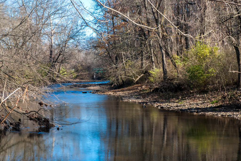
Wissahickon Creek
- Boat Ramps
- 0
- Access Points
- 11
- Campsites
- 0
The Wissahickon Creek is a scenic waterway located in southeastern Pennsylvania, flowing approximately 23 miles from its headwaters in Montgomery County to its confluence with the Schuylkill River in Philadelphia. The creek runs through a picturesque gorge, forming the centerpiece of the 1,800-acre Wissahickon Valley Park in Northwest Philadelphia. While the Wissahickon Creek is not typically used for paddling, it offers a unique urban wilderness experience. The park features Forbidden Drive, a wide, flat gravel trail that runs five miles along the creek, popular for hiking, biking, and horseback riding. The trail provides visitors with stunning views of the creek and its surrounding forested valley.
The creek's water quality is a concern due to at least five wastewater treatment plants upstream, which has led to discouragement of water-based activities. As such, there are no official paddling sections or difficulty ratings for the Wissahickon Creek. Instead, visitors are encouraged to enjoy the waterway from the shore.
Wissahickon Valley Park is known for its diverse ecosystem, home to various flora and fauna. The area supports over 200 bird species, numerous mammals, and a wide array of plant life, making it a haven for nature enthusiasts and birdwatchers. Key landmarks along the creek include the historic Valley Green Inn, a former roadhouse dating back to 1850, and several picturesque stone bridges. The park also features numerous hiking trails that branch off from Forbidden Drive, offering more challenging terrain for adventurous visitors.
Access to Wissahickon Valley Park is available from multiple points in Northwest Philadelphia, including entrances near the Chestnut Hill and Manayunk neighborhoods. The park stretches approximately 7 miles from Chestnut Hill to the creek's confluence with the Schuylkill River.
Historically, the Wissahickon Creek played a significant role in early American industry, powering mills along its banks. Today, it serves as an important recreational and natural resource for Philadelphia residents and visitors alike.
Safety considerations for park visitors include staying on marked trails, being aware of potential flash flooding during heavy rains, and avoiding water contact due to potential health risks. While swimming and paddling are not officially prohibited, they are strongly discouraged by park authorities and local conservation groups.
The Wissahickon Creek offers a unique opportunity to experience a natural oasis within the urban environment of Philadelphia, providing a peaceful retreat for those seeking to connect with nature without venturing far from the city.
Water access, boat ramps & amenities
Learn how to get on Wissahickon Creek. Uncover great paddling access points, boat ramps, and all the facilities you need for an unforgettable day on the water. Some locations shown may border or include private property. Always check property boundaries and applicable regulations before visiting. PaddleWays's Public & Private Land layer can help you plan your access with confidence.
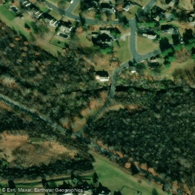
Swedesford Road Access
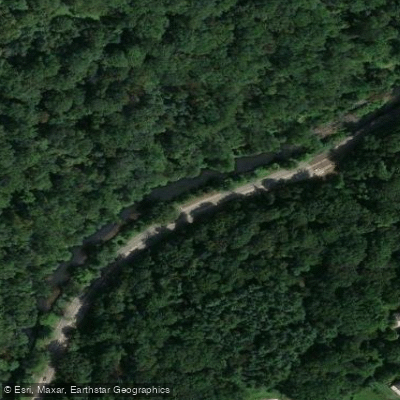
Lincoln Dr Access
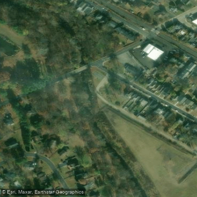
Ambler Ave Access
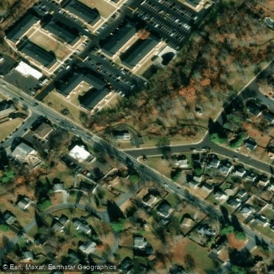
Hidden Valley Park Access
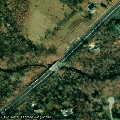
Gwynedd Preserve Access
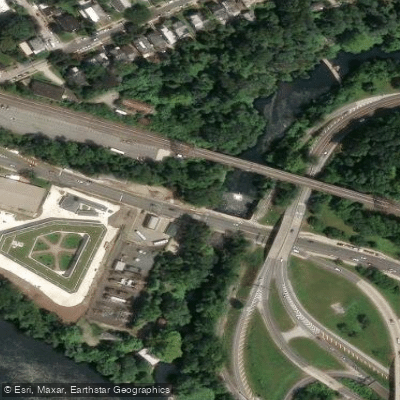
Lincoln Drive Trailhead Access
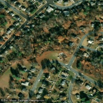
Rexdale Park Access
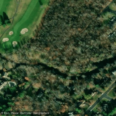
Wissahickon Trailhead Access
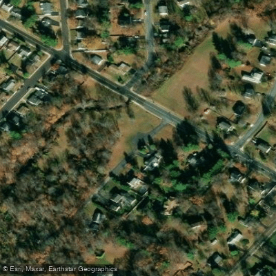
Hancock Street Park Access
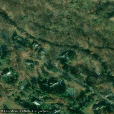
Green Ribbon Preserve Access
Paddle smarter with real-time insights
Whether you're en route and conditions shift or you're looking for the best spot based on current flows, we enable you to make informed decisions on the fly.








Find Places to Paddle

Over 400,000 Places to Paddle
Every user gets free access to launch points, boat ramps, and public property parcels.


Water and weather conditions (10 day forecast)
See the best times to paddle Wissahickon Creek and check the forecast before you go.
Wissahickon Creek at Mouth, Philadelphia, PA
All Flow Stations
Paddling near Wissahickon Creek
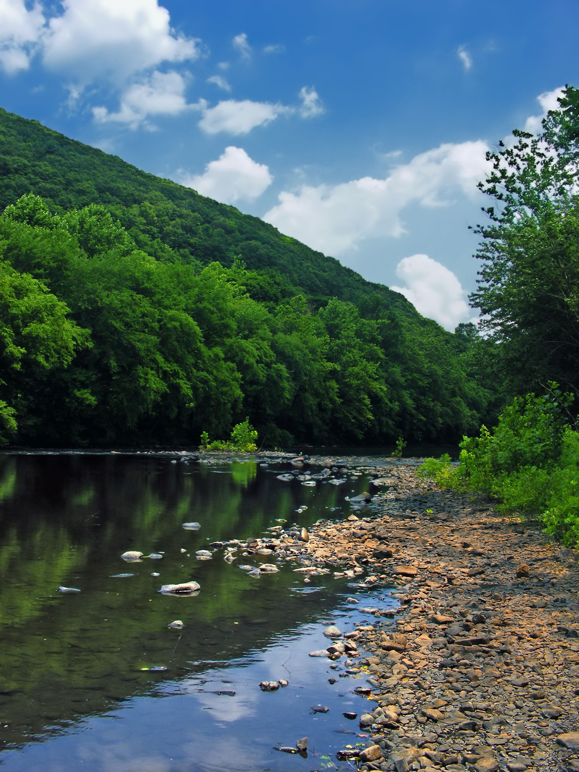
Schuylkill River
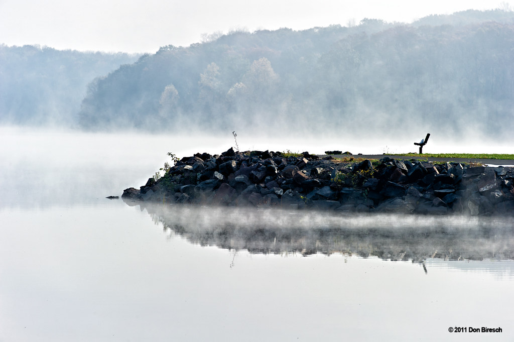
Lake Nockamixon
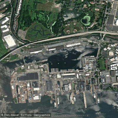
Reserve Basin

Delaware River
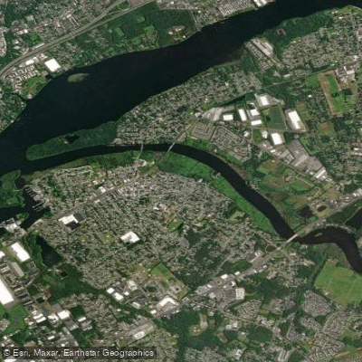
Rancocas Creek
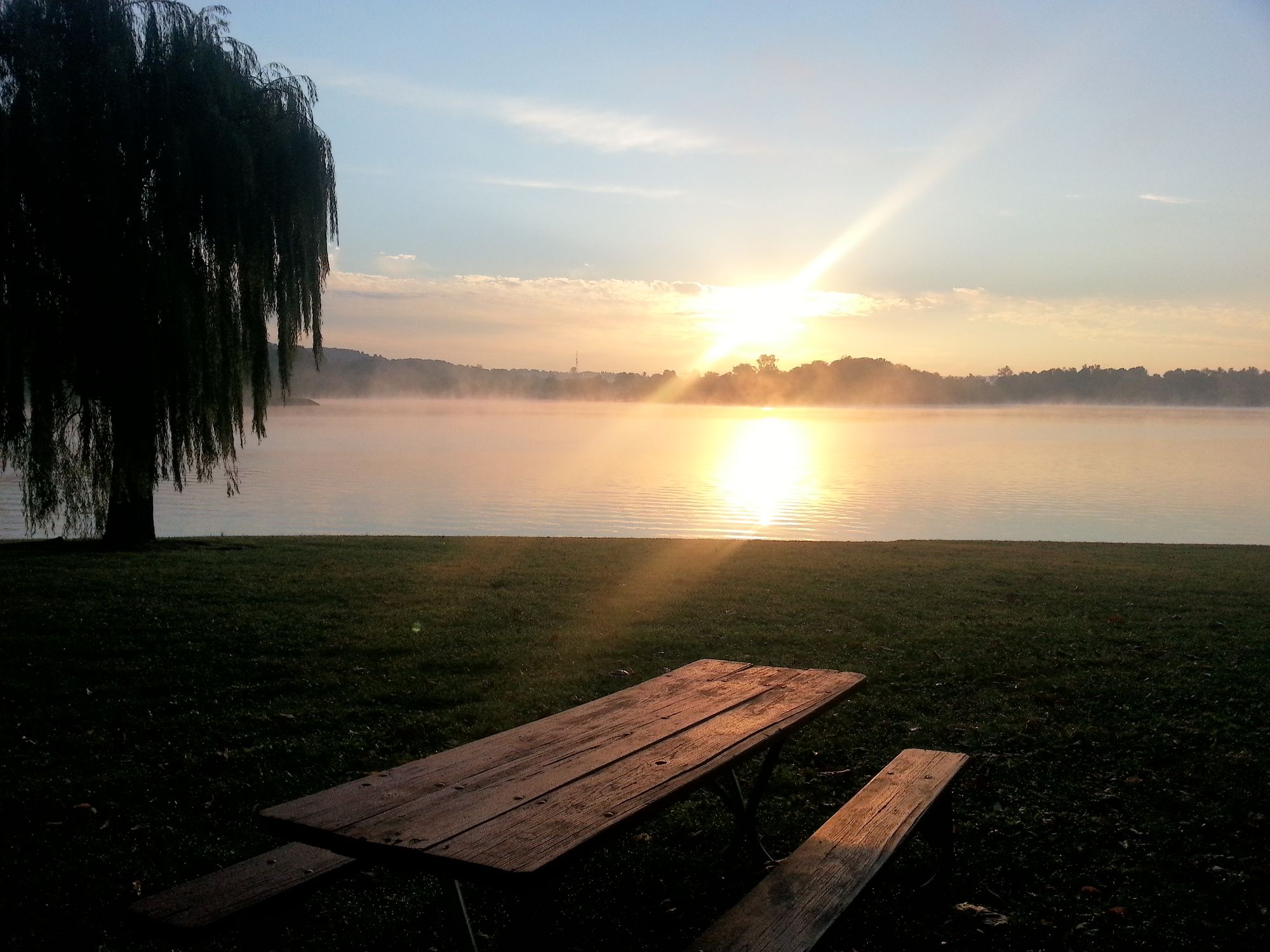
Blue Marsh Lake
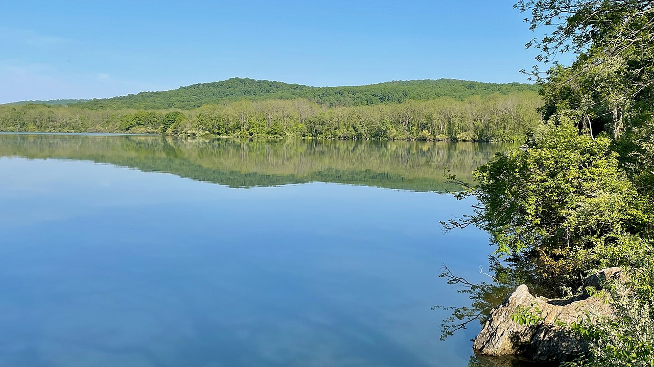
Spruce Run Reservoir
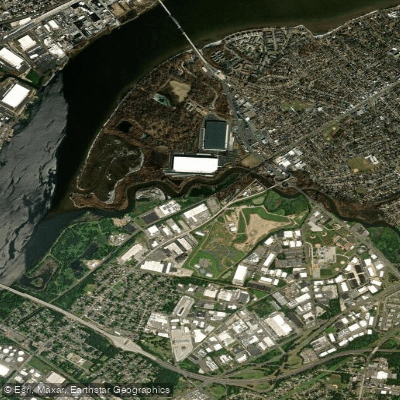
Pennsauken Creek
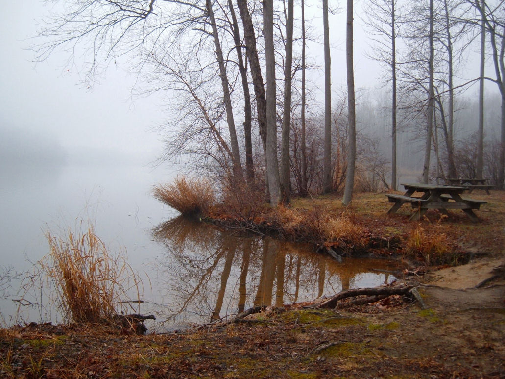
Lums Pond
Explore Pennsylvania waters
Top paddling waters
Popular Cities
Loading popular cities...
Explore near Wissahickon Creek
Access points
- Swedesford Road Access
- Lincoln Dr Access
- Ambler Ave Access
- Hidden Valley Park Access
- Gwynedd Preserve Access
- Lincoln Drive Trailhead Access
- Rexdale Park Access
- Wissahickon Trailhead Access
- Hancock Street Park Access
- Green Ribbon Preserve Access
- Wissahickon Trail Access
- Wissahickon Cr 3369-d4 Bridge
- All 120 spots
Nearby waters
More in Pennsylvania

Smarter Paddling Starts in the App.
Paddleways gives you everything you need to plan smarter, paddle better, and own every trip from first launch to takeout.