Nanticoke River
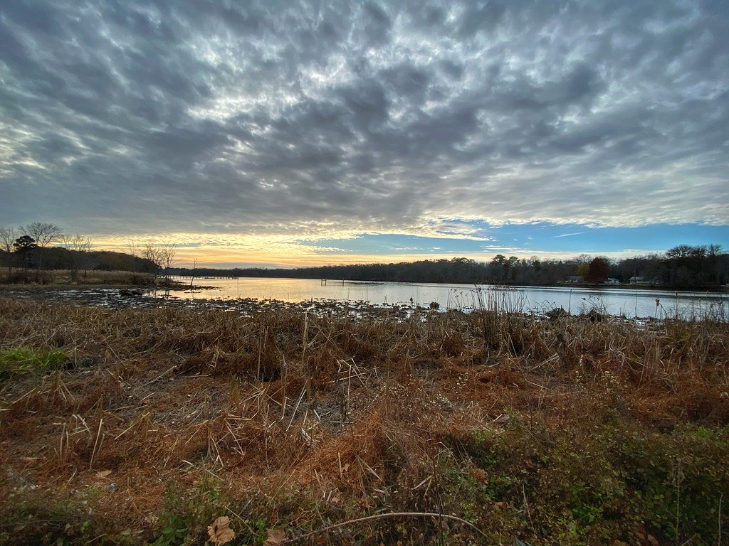
Nanticoke River
- Boat Ramps
- 3
- Access Points
- 6
- Campsites
- 14
The Nanticoke River is a scenic and historically significant waterway that flows through the heart of the Delmarva Peninsula, spanning parts of Maryland and Delaware. Known for its diverse ecosystems and rich wildlife, the Nanticoke offers paddlers a unique opportunity to explore one of the most ecologically intact river systems on the East Coast.
The river's paddling opportunities range from tranquil flatwater sections suitable for beginners to longer trips that can challenge more experienced kayakers and canoeists. Popular sections include the Upper Nanticoke from Seaford to Phillips Landing, the Barren Creek to Vienna stretch, and the picturesque Chicone Creek, affectionately known as "Osprey Alley" for its abundant bird life.
With its generally calm waters, the Nanticoke is ideal for paddlers of all skill levels, though wind and tides can occasionally present challenges, especially on wider sections near the river's mouth. The river is best paddled from spring through fall, with summer offering lush vegetation and active wildlife, while autumn provides stunning foliage.
The Nanticoke watershed boasts some of the largest contiguous tracts of forest remaining on the Delmarva Peninsula and harbors an impressive array of rare plants. Paddlers can expect to encounter diverse wildlife, including numerous osprey nests, bald eagles, and various waterfowl species. The river's banks are often lined with pickerel weed, arrow arum, and other native aquatic plants.
Notable landmarks along the river include the historic town of Vienna, MD, with its public boat ramp serving as a popular access point. Phillips Landing in Delaware is another key location, offering excellent facilities including multiple boat ramps and a floating dock. The Nanticoke River Marina Park in Seaford and the charming town of Laurel on Broad Creek are also significant stops for paddlers.
Historically, the Nanticoke River was home to the Nanticoke Indians and later explored by Captain John Smith in the early 17th century. Today, paddlers can visit sites like Handsell House near Chicone Creek to connect with this rich heritage.
Safety considerations include being aware of occasional barge traffic on the main stem of the river and checking tide tables, especially when planning longer trips. Paddlers should also be mindful of fishing regulations, particularly around areas like Bethel Hole, a protected largemouth bass nursery.
For those seeking multi-day adventures, a popular option is to paddle from Laurel, DE, down Broad Creek to its confluence with the Nanticoke, and then explore the main river. This trip can be tailored to various lengths, with numerous access points along the way for camping or resupply. The Nanticoke River Water Trail, comprising over 25 public boat launches and piers, provides excellent infrastructure for both day trips and extended journeys.
Whether you're seeking a short, peaceful paddle on Chicone Creek or an immersive multi-day expedition, the Nanticoke River offers a paddling experience that combines natural beauty, wildlife encounters, and a deep connection to the region's history and culture.
Water access, boat ramps & amenities
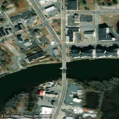
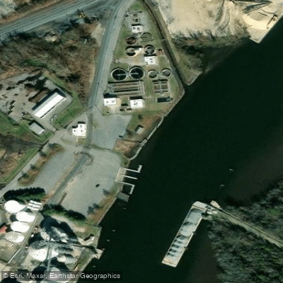
Learn how to get on Nanticoke River. Uncover great paddling access points, boat ramps, and all the facilities you need for an unforgettable day on the water. Some locations shown may border or include private property. Always check property boundaries and applicable regulations before visiting. PaddleWays's Public & Private Land layer can help you plan your access with confidence.
Paddle smarter with real-time insights
Whether you're en route and conditions shift or you're looking for the best spot based on current flows, we enable you to make informed decisions on the fly.








Find Places to Paddle

Over 400,000 Places to Paddle
Every user gets free access to launch points, boat ramps, and public property parcels.


Water and weather conditions (10 day forecast)
See the best times to paddle Nanticoke River and check the forecast before you go.
NANTICOKE RIVER NEAR BRIDGEVILLE, DE
All Flow Stations
Paddling near Nanticoke River

Delaware River
Tangier Sound

Potomac River

Patuxent River
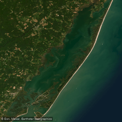
Chincoteague Bay
Saint Jones River
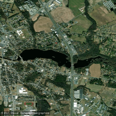
Records Pond
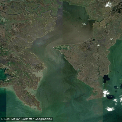
Fishing Bay
Trap Pond
Explore Delaware waters
Top paddling waters
Popular Cities
Loading popular cities...
Explore near Nanticoke River
Access points
Nearby waters
More in Delaware

Smarter Paddling Starts in the App.
Paddleways gives you everything you need to plan smarter, paddle better, and own every trip from first launch to takeout.