Yahara River
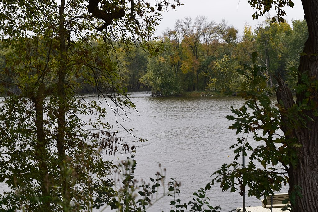
Yahara River
- Boat Ramps
- 9
- Access Points
- 11
- Campsites
- 7
The Yahara River is a significant waterway in southern Wisconsin, originating near DeForest and flowing south through Madison before joining the Rock River near Fulton. This 62-mile long river is the primary tributary connecting the four lakes of the Yahara chain - Mendota, Monona, Waubesa, and Kegonsa - making it a crucial part of the local ecosystem and a popular recreational resource.
Paddling opportunities on the Yahara River range from urban adventures through Madison to more secluded stretches in its upper and lower reaches. The river offers a mix of flatwater paddling and occasional Class I-II rapids, making it suitable for beginners to intermediate paddlers. Popular sections include the upper Yahara from Veterans Memorial Park to Windsor Road, the scenic stretch through Madison's lakes, and the lower Yahara from Stoughton to the Rock River confluence. The river's flow is generally gentle, with some swifter sections after rain events.
Late spring through early fall is the ideal paddling season, with summer offering the most reliable water levels. However, the Yahara can be paddled year-round in certain sections, particularly near Madison where it remains ice-free due to urban heat effects.
Wildlife is abundant along the Yahara, with paddlers likely to encounter great blue herons, eagles, muskrats, and various fish species. The river corridor also supports diverse plant life, including wild rice in some areas.
Key landmarks include the Tenney Lock in Madison, Cherokee Marsh Conservation Park, and the historic Dunkirk Dam. The river passes through several parks and natural areas, offering numerous access points for paddlers. Major put-in and take-out locations can be found in DeForest, Windsor, Madison, McFarland, Stoughton, and Fulton.
The Yahara River played a significant role in the development of Madison and surrounding communities. Today, it remains an important cultural and recreational resource, with efforts ongoing to improve water quality and habitat along its course.
Paddlers should be aware of occasional low-head dams, particularly in urban areas, and practice caution around bridges and during high water events. The entire upper Yahara above Highway 113 is designated as a slow/no-wake zone, ensuring a peaceful paddling experience.
For those seeking a multi-day adventure, it's possible to paddle the entire length of the Yahara, camping at designated sites along the way. This journey offers a comprehensive experience of southern Wisconsin's diverse landscapes, from rural farmlands to urban centers and back to natural areas as the river approaches its confluence with the Rock.
Water access, boat ramps & amenities
Learn how to get on Yahara River. Uncover great paddling access points, boat ramps, and all the facilities you need for an unforgettable day on the water. Some locations shown may border or include private property. Always check property boundaries and applicable regulations before visiting. PaddleWays's Public & Private Land layer can help you plan your access with confidence.
Paddle smarter with real-time insights
Whether you're en route and conditions shift or you're looking for the best spot based on current flows, we enable you to make informed decisions on the fly.








Find Places to Paddle

Over 400,000 Places to Paddle
Every user gets free access to launch points, boat ramps, and public property parcels.


Water and weather conditions (10 day forecast)
See the best times to paddle Yahara River and check the forecast before you go.
YAHARA RIVER AT WINDSOR, WI
All Flow Stations
Paddling near Yahara River
Lake Monona
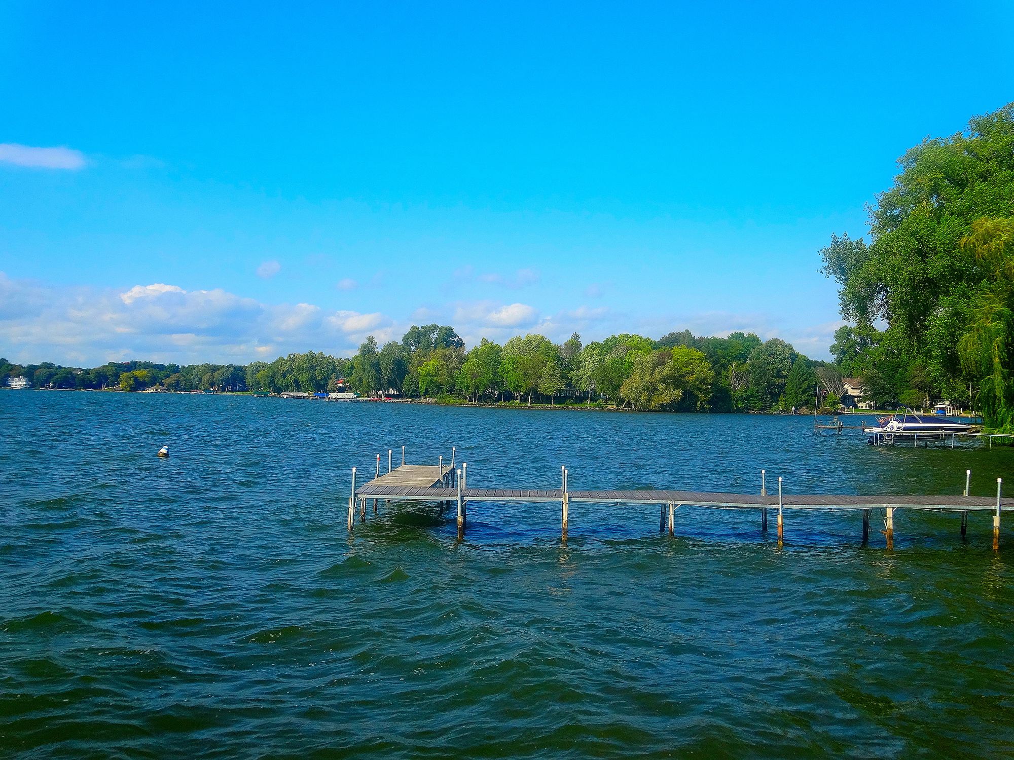
Lake Mendota
Lake Wisconsin

Rock River
Rock Lake
Wisconsin River
Bark River
Fox River
Baraboo River
Explore Wisconsin waters
Top paddling waters
Popular Cities
Loading popular cities...
Explore near Yahara River
Access points
- LaFollette County Park Canoe Launch
- Yahara River Boat Ramp
- Yahara River Park Boat Ramp
- Viking Park Boat Ramp
- Conrad Jaeger Park Boat Ramp
- Viking County Park Boat Ramp
- Yahara River Boat Ramp
- Fish Camp Park Boat Ramp
- Lake Kegonsa State Park Boat Ramp
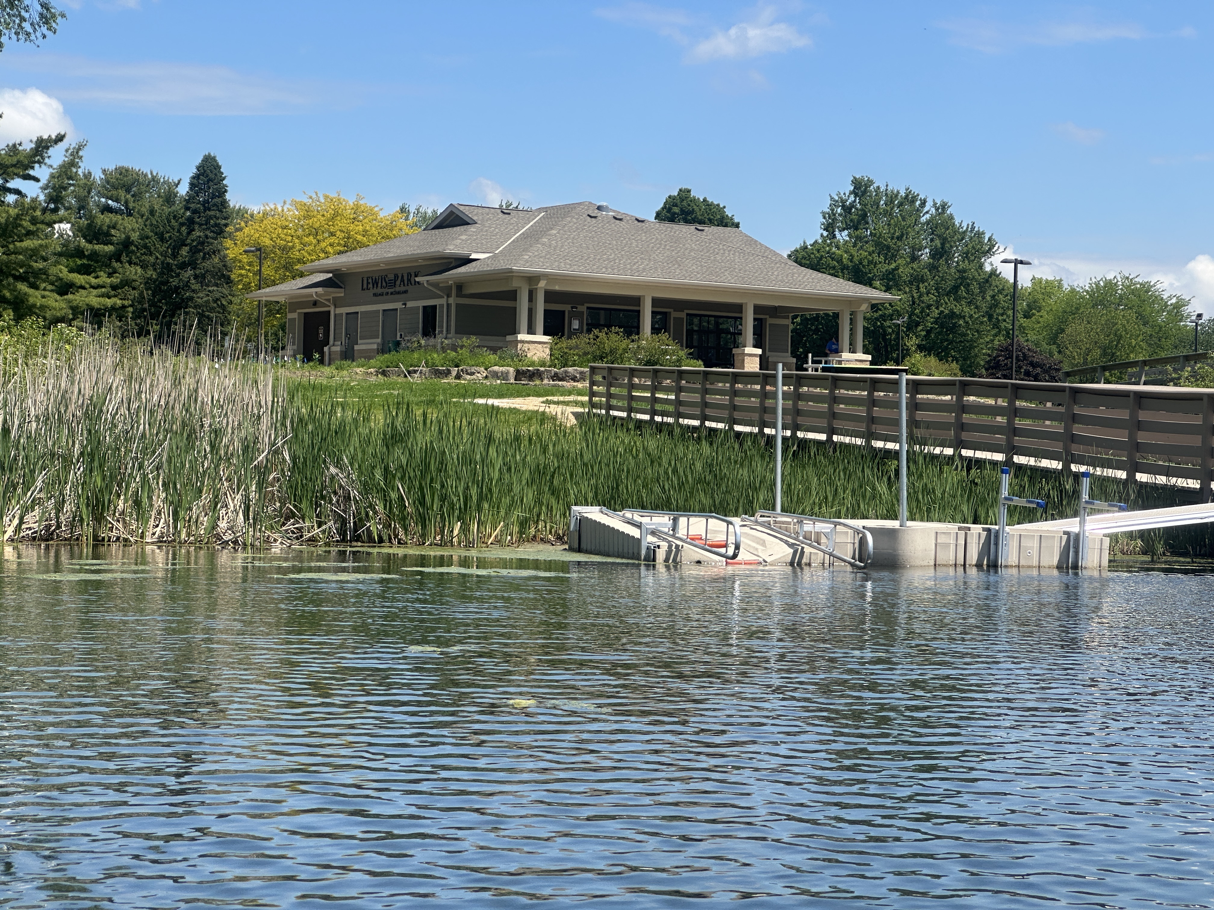
- Lewis Park Access
- Lake Kegonsa Access
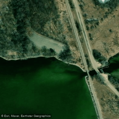
- Railroad Bridge
- All 23 spots
Nearby waters
More in Wisconsin

Smarter Paddling Starts in the App.
Paddleways gives you everything you need to plan smarter, paddle better, and own every trip from first launch to takeout.