Lake Bloomington
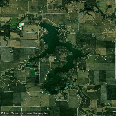
Lake Bloomington
- Boat Ramps
- 1
- Access Points
- 1
- Campsites
- 0
Lake Bloomington is a 635-acre reservoir located approximately 15 miles north of Bloomington in McLean County, Illinois. Constructed in 1929 by damming Money Creek, the lake serves as a primary water supply for the City of Bloomington while also providing recreational opportunities including paddling. The lake features 18.5 miles of shoreline with a maximum depth of 36 feet and an average depth of 14.5 feet.
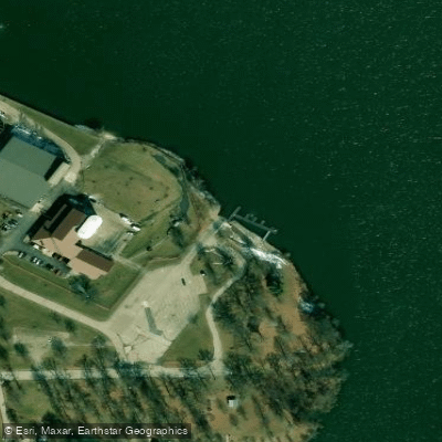
Access for paddling is available at the public boat ramp in Hubbard Park, reached via County Road 1750 East to Park View Lane. The lake is owned and operated by the City of Bloomington's Water Department, which requires boat registration permits for all watercraft including canoes, kayaks, and paddleboards.
Paddlers should be aware that motorized boats up to 40 horsepower are permitted on the lake, though most areas outside the large basins are designated as "no wake zones" where motors must operate at idle speed. These narrower zones offer more protected paddling conditions.
The lake's primary tributaries are Money Creek and Hickory Creek, which flow into the reservoir. The shoreline consists of a mix of developed residential areas with seawalls along leased lots and natural wooded sections managed by the city. Three youth camps operate on the property: East Bay Camp, Timber Pointe Outdoor Center (formerly a Boy Scout camp), and Camp Peairs. These facilities add to the forested character of portions of the shoreline.
Water levels at Lake Bloomington can fluctuate significantly due to seasonal water usage and recharge cycles, which paddlers should consider when planning trips. The lake has experienced substantial sedimentation since construction, with approximately one-third of its original volume lost to sediment accumulation. This has created shallower conditions in some tributary arms that may affect navigation during lower water periods.
Current lake conditions, water levels, and any access restrictions can be verified through the City of Bloomington Water Department or posted notices at the boat ramp facility.
Water access, boat ramps & amenities
Learn how to get on Lake Bloomington. Uncover great paddling access points, boat ramps, and all the facilities you need for an unforgettable day on the water. Some locations shown may border or include private property. Always check property boundaries and applicable regulations before visiting. PaddleWays's Public & Private Land layer can help you plan your access with confidence.
Paddle smarter with real-time insights
Whether you're en route and conditions shift or you're looking for the best spot based on current flows, we enable you to make informed decisions on the fly.








Find Places to Paddle

Over 400,000 Places to Paddle
Every user gets free access to launch points, boat ramps, and public property parcels.


Water and weather conditions (10 day forecast)
See the best times to paddle Lake Bloomington and check the forecast before you go.
No forecast data available.
Paddling near Lake Bloomington
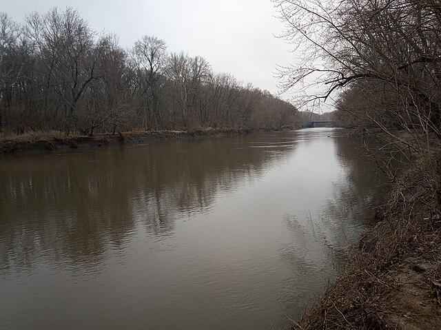
Sangamon River
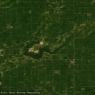
Lake Clinton
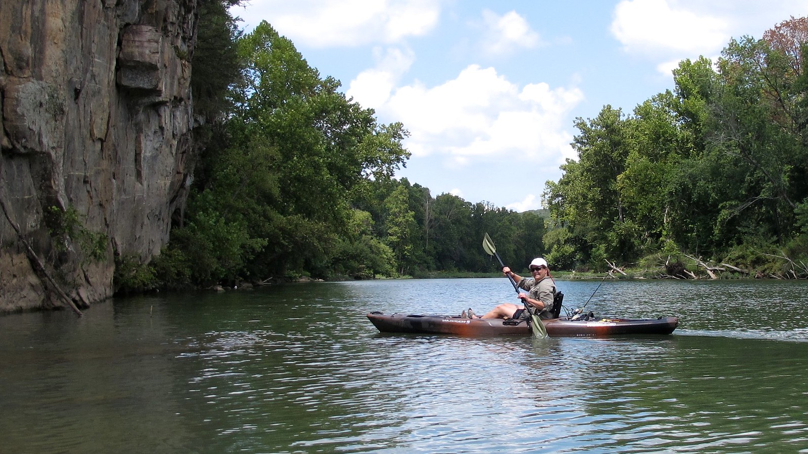
Illinois River
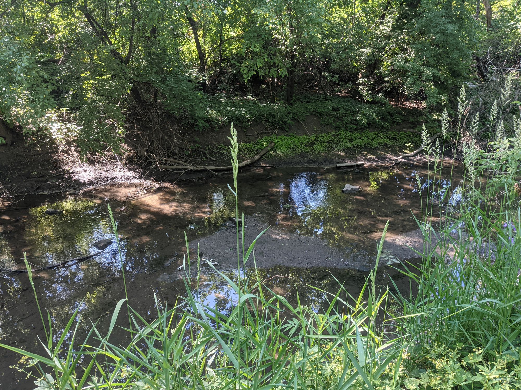
Salt Creek
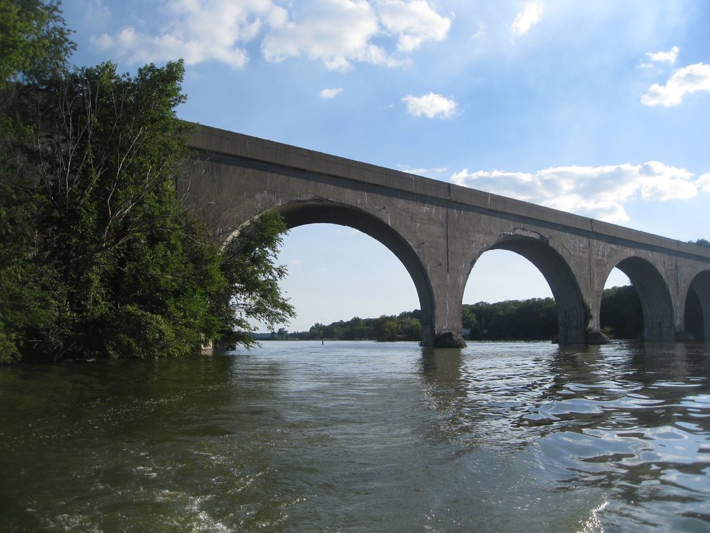
Lake Decatur
Evergreen Lake
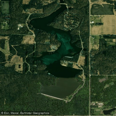
Dawson Lake
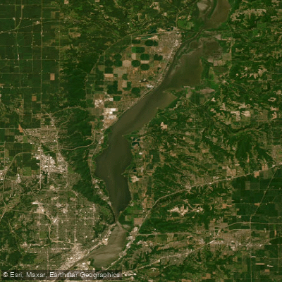
Upper Peoria Lake
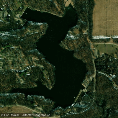
Weldon Springs Lake
Explore Illinois waters
Top paddling waters
Popular Cities
Loading popular cities...
Explore near Lake Bloomington
Access points
Nearby waters
More in Illinois

Smarter Paddling Starts in the App.
Paddleways gives you everything you need to plan smarter, paddle better, and own every trip from first launch to takeout.