Lake Clinton
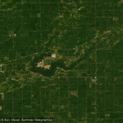
Lake Clinton
- Boat Ramps
- 7
- Access Points
- 12
- Campsites
- 1
Lake Clinton is a 5,000-acre V-shaped impoundment in central Illinois, formed in the 1970s by damming the Salt Creek of the Sangamon River. The lake serves as a cooling reservoir for a nuclear power plant, with most of the shoreline managed as a recreational area by the state.
While much of Lake Clinton is open to powerboats, the northwestern arm is restricted to paddlecraft and electric motors, designated as the North Fork Canoe Trail. This area offers a more serene paddling experience, starting narrow and tree-lined before widening into marshes. The water here is shallow and muddy, with minimal current.
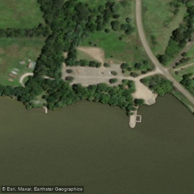
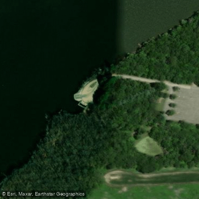
Access to the North Fork Canoe Trail is available just off Parnell Road (DeWitt County Road 1200N), where paddlers will find parking and a boat ramp. Notable features include an old metal truss bridge about 100 yards from the access point, which can be easily passed under. Paddlers should be prepared to maneuver around some downed trees.
The main body of Lake Clinton provides a "big lake" feel, better suited for sea kayaks or larger recreational kayaks. Paddlers can explore the coastline towards the dam, where approximately 100 nesting seagulls can be observed in the shallows. The lake offers excellent birdwatching opportunities, with sightings of blue herons, hawks, Canadian geese, and white pelicans reported.
Water conditions can become wavy, especially on windy days. The lake's warm waters, influenced by the nuclear plant discharge, allow for extended paddling seasons, with the lake remaining ice-free until the deepest part of winter.
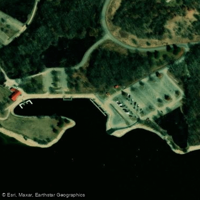
Camping is available at Mascoutin State Recreation Area on Lake Clinton and nearby Weldon Springs State Recreation Area. Facilities at the Northfork Access include restrooms, a fish cleaning station, concrete boat ramp, and ample parking. Hiking trails are also accessible from this location.
No fees are required for lake access, but Illinois law mandates canoe registration. Paddlers should be aware of potential low water conditions in spring, which may limit access to certain areas of the lake.
Water access, boat ramps & amenities
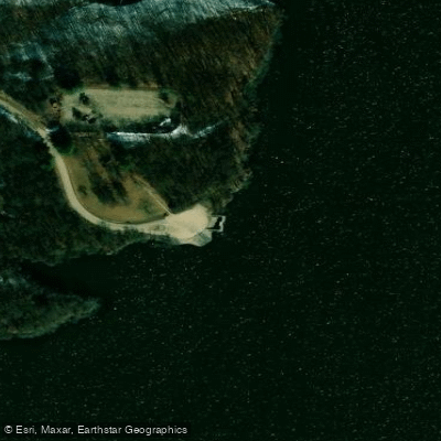
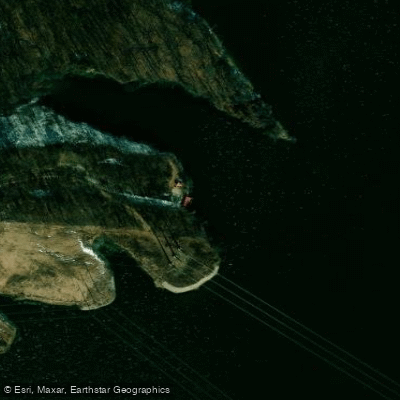
Learn how to get on Lake Clinton. Uncover great paddling access points, boat ramps, and all the facilities you need for an unforgettable day on the water. Some locations shown may border or include private property. Always check property boundaries and applicable regulations before visiting. PaddleWays's Public & Private Land layer can help you plan your access with confidence.
Paddle smarter with real-time insights
Whether you're en route and conditions shift or you're looking for the best spot based on current flows, we enable you to make informed decisions on the fly.








Find Places to Paddle

Over 400,000 Places to Paddle
Every user gets free access to launch points, boat ramps, and public property parcels.


Water and weather conditions (10 day forecast)
See the best times to paddle Lake Clinton and check the forecast before you go.
CLINTON LAKE NEAR LANE, IL
Paddling near Lake Clinton
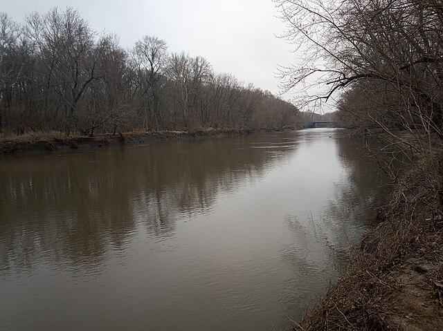
Sangamon River
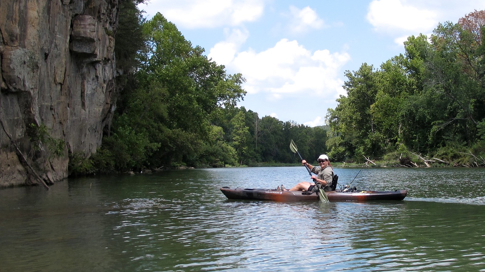
Illinois River
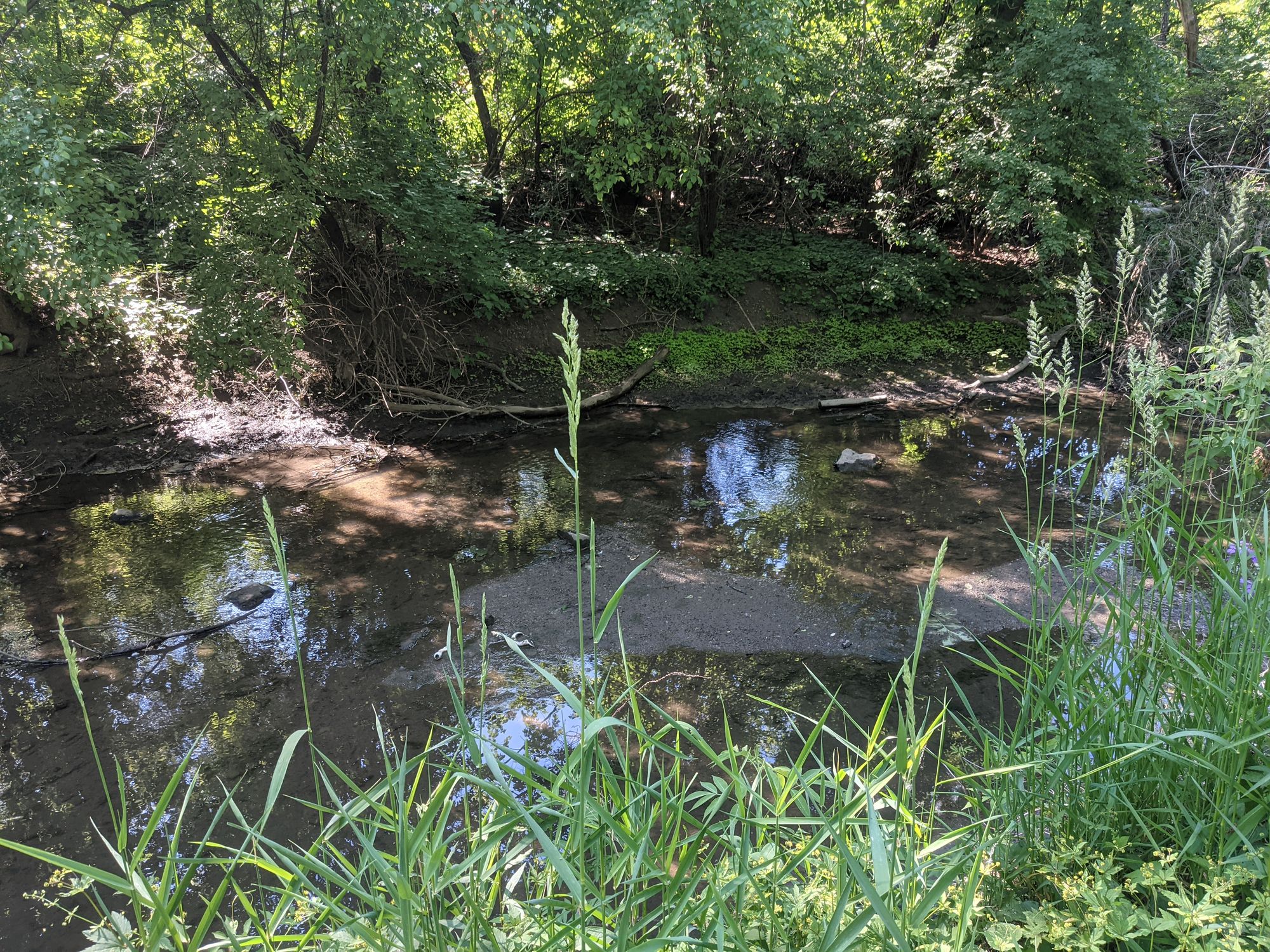
Salt Creek
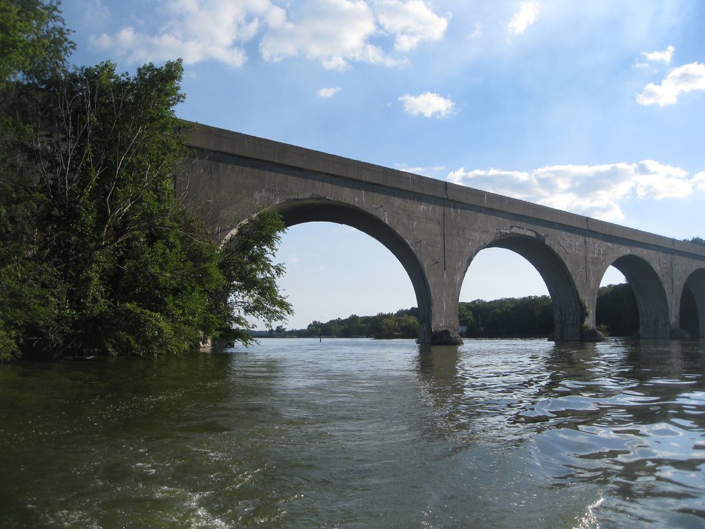
Lake Decatur
Evergreen Lake
Dawson Lake
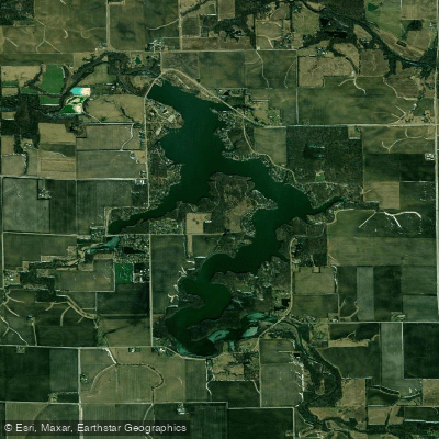
Lake Bloomington
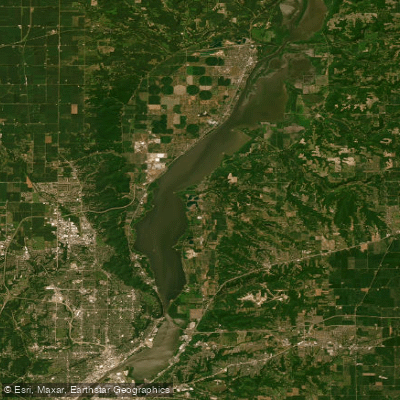
Upper Peoria Lake
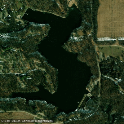
Weldon Springs Lake
Explore Illinois waters
Top paddling waters
Popular Cities
Loading popular cities...
Explore near Lake Clinton
Access points
Nearby waters
More in Illinois

Smarter Paddling Starts in the App.
Paddleways gives you everything you need to plan smarter, paddle better, and own every trip from first launch to takeout.