Salt Creek
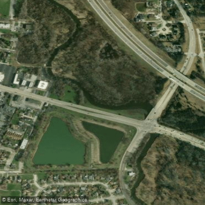
Salt Creek
- Boat Ramps
- 1
- Access Points
- 7
- Campsites
- 1
Salt Creek flows approximately 40 miles through DuPage and Cook Counties in Illinois before joining the Des Plaines River near Riverside. The creek originates from multiple tributaries in the western suburbs, with its North Fork beginning near Elk Grove Village and the main branch flowing through communities including Wood Dale, Elmhurst, Oak Brook, Western Springs, and Brookfield. Despite its name suggesting a smaller waterway, Salt Creek functions as a significant tributary with enough flow to support paddling through much of the year.
The paddling corridor extends roughly 10-11 miles through the lower sections, with the most popular route running from Graue Mill in Oak Brook to Plank Road Meadow in Lyons. This stretch passes through extensive Cook County Forest Preserve holdings, creating a surprisingly natural experience despite the urban setting. The creek winds through preserved black oak savannah, including designated Illinois Nature Preserves, with 130 miles of irregular, wooded shoreline featuring numerous coves and gentle to steep banks.
Paddlers encounter Class I conditions with occasional riffles and small rapids, making the creek suitable for beginners at flows between 100-200 cubic feet per second, though intermediate skills become necessary when water levels exceed 600 cfs. The creek requires minimum flows of 100 cfs to avoid shallow spots and portages around deadfall. Multiple small dams and concrete structures punctuate the route, including remnants near Possum Hollow Woods and a former dam at Graue Mill scheduled for removal to improve fish passage. Spring and fall provide optimal paddling conditions when water temperatures range between 50-70 degrees. The creek experiences significant flow variations due to eleven upstream water treatment plants and urban runoff, with levels rising rapidly after rainfall.
A designated fish and waterfowl refuge between Illinois Route 48 and DeWitt County Highway 14 bridges closes to all public use from October 10 through March 31.
Wildlife viewing opportunities include white-tailed deer, beavers, great blue herons, sandhill cranes during migration, red-tailed hawks, and various waterfowl. The fishery supports largemouth bass, northern pike, channel catfish, bluegill, crappie, walleye, and stocked hybrid striped bass.
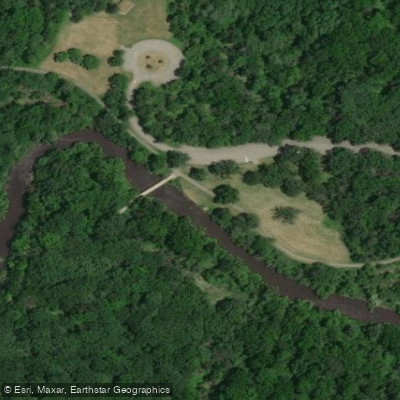
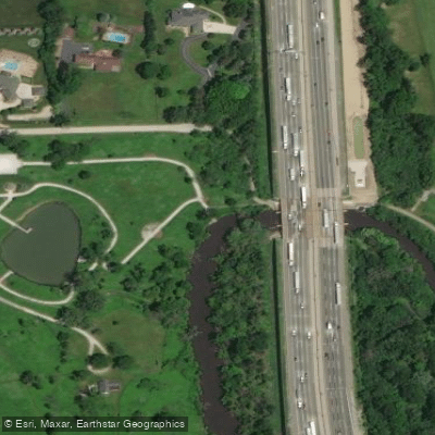
Access points include Graue Mill and Dean Nature Sanctuary in Oak Brook, Bemis Woods near Western Springs, Brookfield Village Hall, and Plank Road Meadow in Lyons. The Salt Creek Trail System provides 16.4 miles of paved and unpaved paths paralleling much of the creek, enabling convenient bike shuttles between launch sites.
Historical significance centers on the creek's role in the broader Chicago Portage system, where it meets the Des Plaines River near the historic portage used by Native Americans and early European explorers connecting the Great Lakes to the Mississippi River watershed.
Paddlers must navigate around the spillway structure near Brookfield Zoo and avoid the former Hofmann Dam debris downstream of Plank Road Meadow. All state boating regulations apply, with personal flotation devices required for all watercraft users.
Water access, boat ramps & amenities
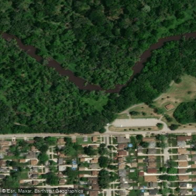
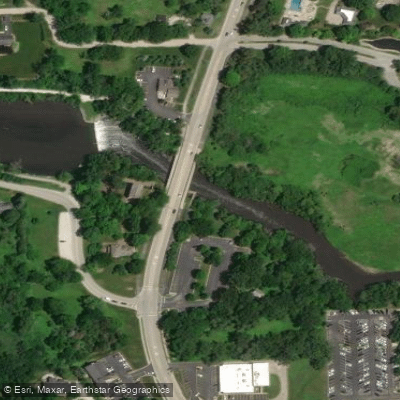
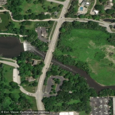
Learn how to get on Salt Creek. Uncover great paddling access points, boat ramps, and all the facilities you need for an unforgettable day on the water. Some locations shown may border or include private property. Always check property boundaries and applicable regulations before visiting. PaddleWays's Public & Private Land layer can help you plan your access with confidence.
Paddle smarter with real-time insights
Whether you're en route and conditions shift or you're looking for the best spot based on current flows, we enable you to make informed decisions on the fly.








Find Places to Paddle

Over 400,000 Places to Paddle
Every user gets free access to launch points, boat ramps, and public property parcels.


Water and weather conditions (10 day forecast)
See the best times to paddle Salt Creek and check the forecast before you go.
SALT CREEK AT ELMHURST, IL
All Flow Stations
Paddling near Salt Creek

Lake Michigan
Fox River
Illinois River
Kankakee River
Kishwaukee River
Des Plaines River
South Pool
Bangs Lake
Skokie Lagoons
Explore Illinois waters
Top paddling waters
Popular Cities
Loading popular cities...
Explore near Salt Creek
Access points
Nearby waters
More in Illinois

Smarter Paddling Starts in the App.
Paddleways gives you everything you need to plan smarter, paddle better, and own every trip from first launch to takeout.