South Branch Kishwaukee River
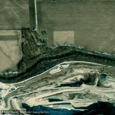
South Branch Kishwaukee River
- Boat Ramps
- 5
- Access Points
- 5
- Campsites
- 1
The South Branch Kishwaukee River originates near Shabbona in DeKalb County and flows approximately 64 miles northeast before turning westward near Genoa, ultimately joining the main Kishwaukee River southeast of Rockford in Winnebago County. This tributary drains 441 square miles and represents the largest branch of the Kishwaukee system by watershed area.
The river's character changes distinctly along its course. Upstream sections near DeKalb feature a channelized, shallow waterway with silty sand substrate and minimal natural vegetation along banks. Below DeKalb, the river transforms into a more natural stream with sandy-gravel bottom, pool-riffle sequences, and vegetated buffers typically exceeding 100 feet. The average width measures 55 feet, though the river receives significant treated wastewater discharge from DeKalb, creating unusual flow patterns where effluent can equal or exceed natural baseflow during low-water periods.
The South Branch flows over moraines deposited during glaciation, with portions of its bed following ancient lake plains. North of Sycamore, gravel mining operations have historically worked the river's rock-strewn substrate. The stream maintains relatively low natural flow rates compared to other Kishwaukee tributaries, with average discharge around 305 cubic feet per second near Fairdale.
Anglers target smallmouth bass in the less-channelized reaches downstream of DeKalb, where improved habitat supports diverse fish populations. The river corridor provides habitat for white-tailed deer, muskrats, herons, and various mussel species in suitable gravel substrate areas. Riparian forests of silver maple, sycamore, and willow dominate the lower reaches.
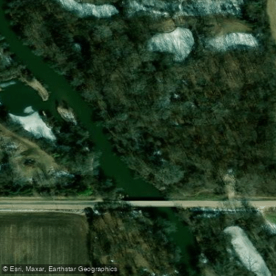
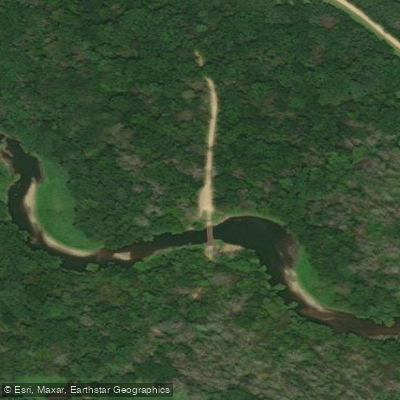
Access points exist near Kirkland and throughout DeKalb County Forest Preserves, including the Kishwaukee River State Fish and Wildlife Area west of Kirkland, which protects over 900 acres with 3.2 miles of river frontage adjacent to MacQueen and Potawatomi Woods Forest Preserves.
Flood stage at DeKalb begins at 10 feet, with the river historically exceeding this level nine times since 1926. The record crest of 15.8 feet occurred in July 1983, with the second-highest flood reaching 15.27 feet in August 2007 following intense rainfall that displaced 600 residents and closed Northern Illinois University. Paddlers should exercise caution during high-water periods and be aware that upstream channelized sections offer limited scenic or technical interest compared to the more natural downstream reaches approaching the confluence with the main Kishwaukee.
Water access, boat ramps & amenities
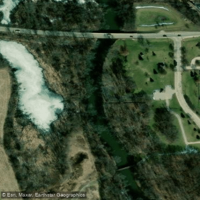
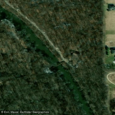
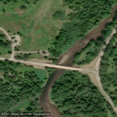
Learn how to get on South Branch Kishwaukee River. Uncover great paddling access points, boat ramps, and all the facilities you need for an unforgettable day on the water. Some locations shown may border or include private property. Always check property boundaries and applicable regulations before visiting. PaddleWays's Public & Private Land layer can help you plan your access with confidence.
Paddle smarter with real-time insights
Whether you're en route and conditions shift or you're looking for the best spot based on current flows, we enable you to make informed decisions on the fly.








Find Places to Paddle

Over 400,000 Places to Paddle
Every user gets free access to launch points, boat ramps, and public property parcels.


Water and weather conditions (10 day forecast)
See the best times to paddle South Branch Kishwaukee River and check the forecast before you go.
SOUTH BRANCH KISHWAUKEE RIVER AT DEKALB, IL
All Flow Stations
Paddling near South Branch Kishwaukee River

Rock River
Fox River
Kishwaukee River
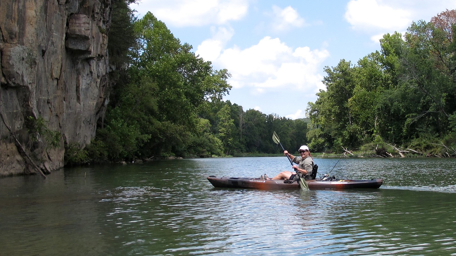
Illinois River
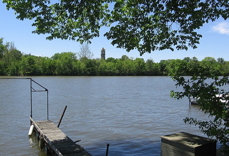
Kankakee River
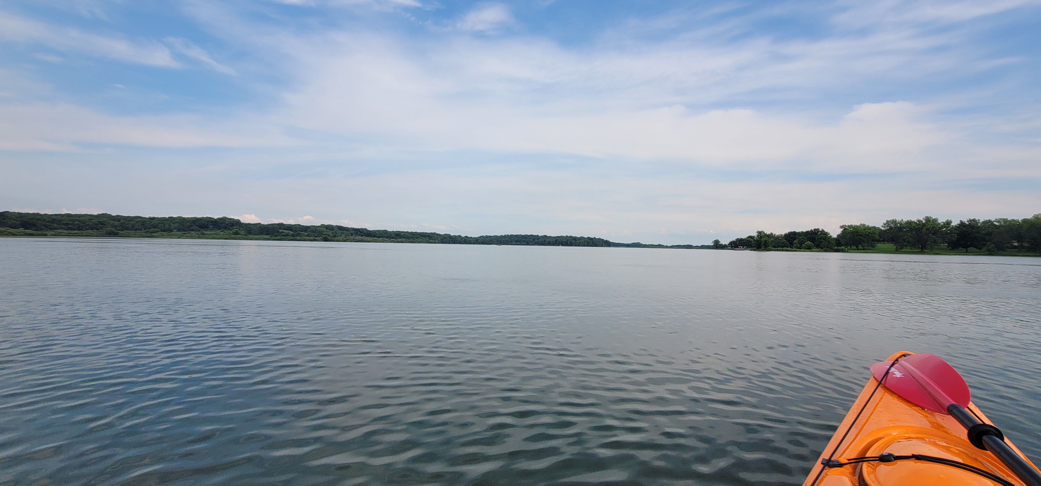
Shabbona Lake
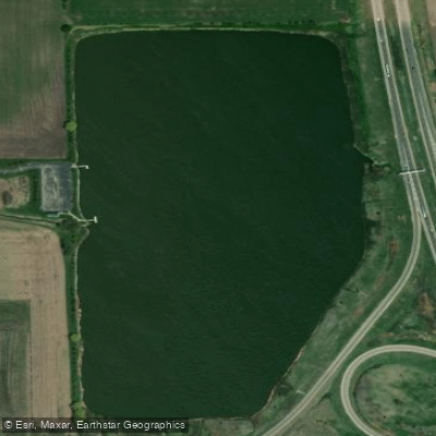
Lake Sule
Candlewick Lake
Des Plaines River
Explore Illinois waters
Top paddling waters
Popular Cities
Loading popular cities...
Explore near South Branch Kishwaukee River
Access points
- Citizens Park Boat Ramp
- Russell Woods Boat Ramp
- Oak Ridge Forest Preserve Boat Ramp
- Knute Olson Boat Ramp
- Potawatomi Woods Boat Ramp
- S Br Kishwaukee Riv. Bridge
- S Br Kishwaukee Riv. Bridge
- S Br Kishwaukee Rivr Bridge
- S Br Kishwaukee Rive Bridge
- S Br Kishwaukee Rv Bridge
- S. Br. Kishwaukee Ri Bridge
- S Br Kishwaukee Riv. Bridge
- All 61 spots
Nearby waters
More in Illinois

Smarter Paddling Starts in the App.
Paddleways gives you everything you need to plan smarter, paddle better, and own every trip from first launch to takeout.