Curated by PaddleWays
RouteFlatwater
- Distance
- 2.8 mi
- Paddle time
- ~1 hr
- Best for
- Intermediate paddlers
- Put-in → take-out
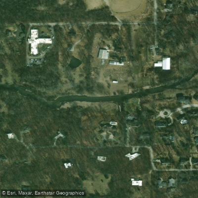
- Lions Park → Blackwell Forest Preserve canoe launch
Log jams and shallow stretches
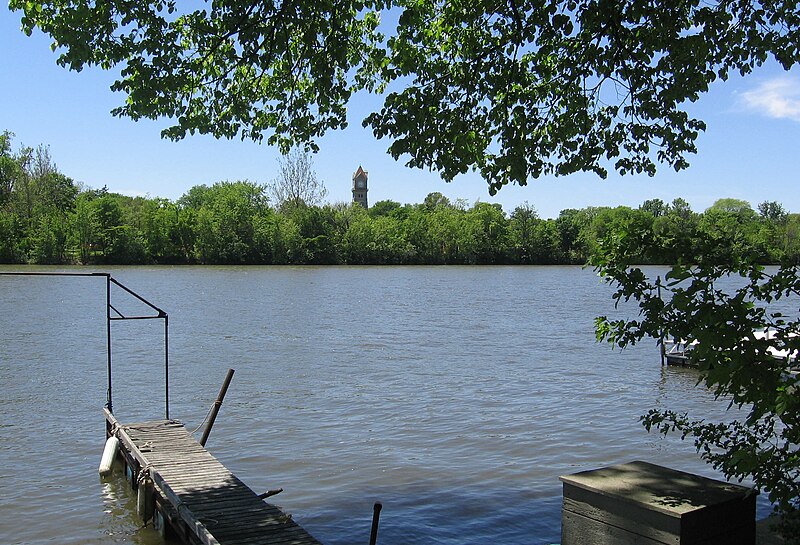
The West Branch DuPage River originates in Schaumburg at Campanelli Park in Cook County and flows 35 miles southward through DuPage County, Illinois, forming one of two major tributaries of the DuPage River. This predominantly natural and meandering waterway passes through Bartlett, Wheaton, Warrenville, Winfield, and Naperville before merging with the East Branch between Naperville and Bolingbrook. The river drains portions of a 326-square-mile watershed and maintains a gentle gradient of approximately 5.5 feet per mile with flow rates averaging 2 mph.
The DuPage County Forest Preserve District has developed an extensive greenway system along the West Branch, creating a peaceful, wildlife-rich paddling corridor that protects the river from development. Popular paddling routes span from Hawk Hollow Forest Preserve near Bartlett downstream through a series of connected preserves including Blackwell, Warrenville Grove, and McDowell Grove. The river flows through the scenic Naperville Riverwalk, passing beneath covered bridges in the downtown area before reaching Knoch Knolls Park near the confluence with the East Branch.
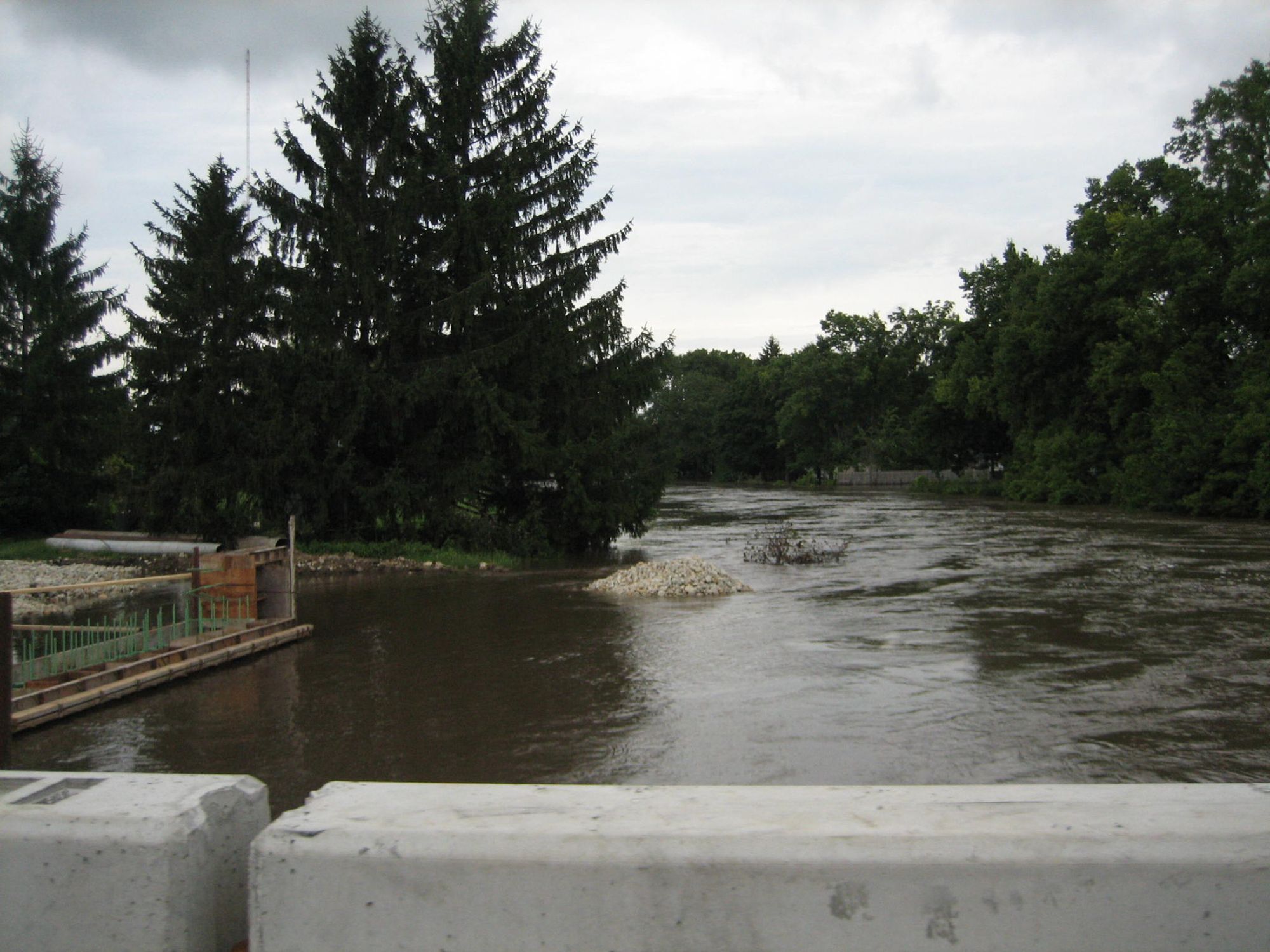
Paddling difficulty ranges from flatwater suitable for beginners in the upper sections to intermediate and advanced conditions in the lower reaches. The section from Lions Park in Winfield to Blackwell Forest Preserve offers shallow, quiet water ideal for novice paddlers. Downstream segments present more challenges, including McDowell Dam and Fawell Dam, both requiring portages. The 8.1-mile stretch from McDowell Grove to Knoch Knolls Park includes riffles and technical features best suited for experienced paddlers. Log jams and shallow water are occasional obstacles in upper sections, particularly during summer low-water periods. Optimal paddling conditions occur when the Warrenville gauge reads between 2.2 and 2.7 feet.
The river corridor supports diverse wildlife including great blue herons, egrets, eastern bluebirds, Cooper's hawks, and various waterfowl. Restored sections feature natural riffles and improved aquatic habitat supporting smallmouth bass, catfish, sunfish, bluegill, carp, and crappie. Floodplain forests contain towering butternuts and black maples, while mature woodlands transition to open fields and restored prairie areas. McDowell Grove showcases spectacular fall maple colors along the riverbanks.
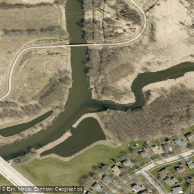
Primary access points include the Mack Road canoe launch at Blackwell Forest Preserve (0.2 miles east of Route 59), Warrenville Grove Forest Preserve, and McDowell Grove Forest Preserve on Raymond Drive near I-88. Historical significance includes the former Gary's Mill operated by Erastus Gary in the 1830s at present-day Blackwell Forest Preserve, and remnant limestone dam abutments visible at Warrenville Grove from 1930s-era structures.
A 26-mile West Branch DuPage River Trail parallels much of the waterway, providing hiking and biking access. Paddlers must carry valid Illinois fishing licenses and respect private property boundaries along the river. The narrow, intimate character of this waterway creates a unique paddling experience distinct from wider regional rivers.
Curated routes
Hand-picked by the PaddleWays team, with put-ins, take-outs, paddle times and the hazards along the way.
RouteFlatwater
RouteFlatwater
RouteFlatwater
Hazards
No paddler has reported a hazard here yet, so these are the dams, falls and big rapids on our map. Hazards change with flows and storms, so check them before you launch.
From the community
Nobody has shared a trip on West Branch Du Page River yet. Paddle it, then tell the next paddler how it went.
See exactly where the public can get on and off the river. Launch points and boat ramps are paired with PaddleWays' public land data so you know where you can legally land.
Public shoreline
52%of the river's shoreline is public
Access Point
Access Point
Flows, weather and a route-by-route verdict, so you know which stretch of the West Branch Du Page River is worth paddling today.
All Flow Stations
Live flows, marked hazards and fresh trip reports from paddlers who were just on the water, all in one place.





Every user gets free access to launch points, boat ramps, and public property parcels.

Loading popular cities...
PaddleWays gives you everything you need to plan smarter, paddle better, and own every trip from first launch to takeout.