
Joclyn S.
Kayak •
So many good rapids! Swimming hole Tree you can jump out of
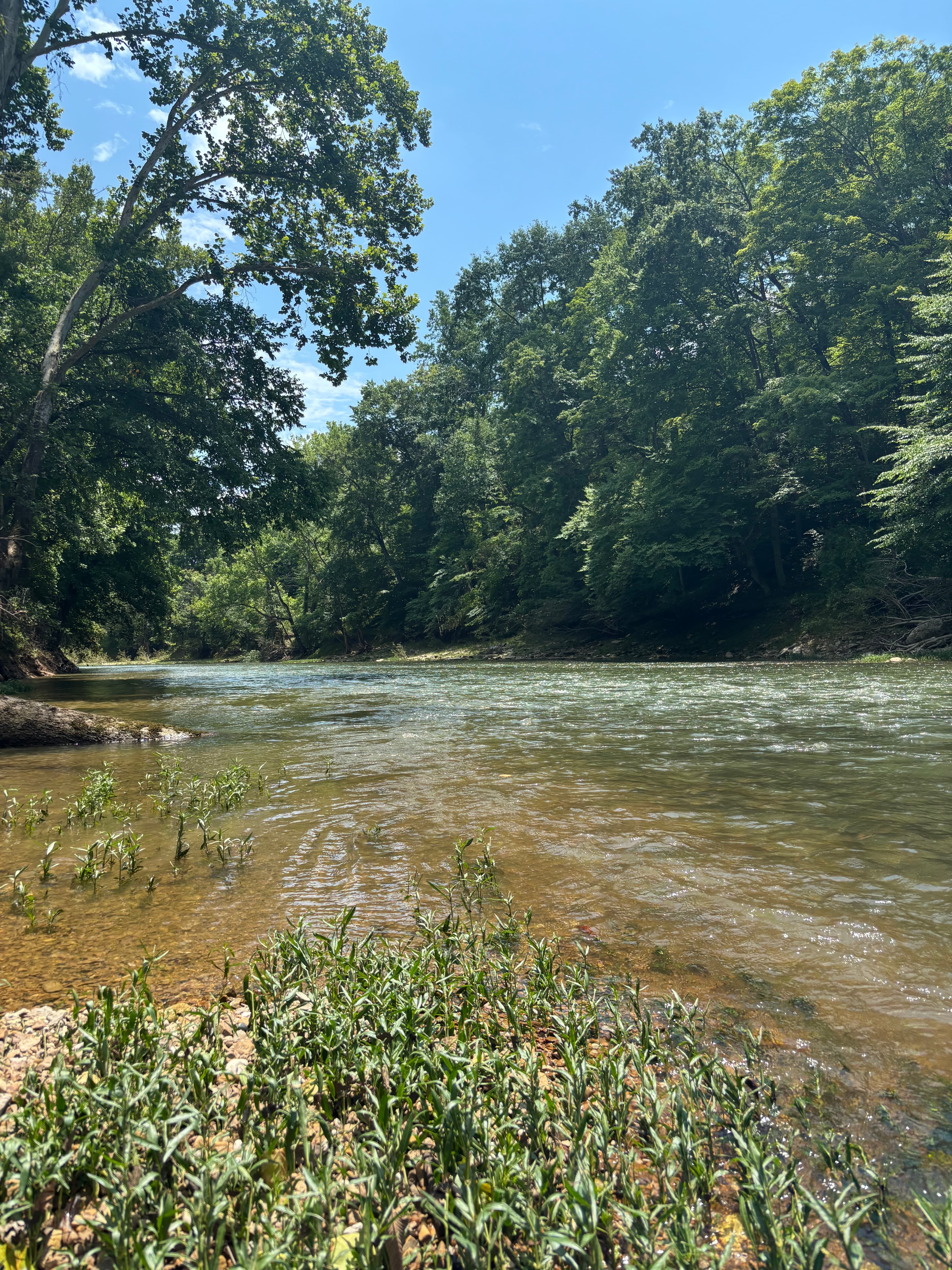
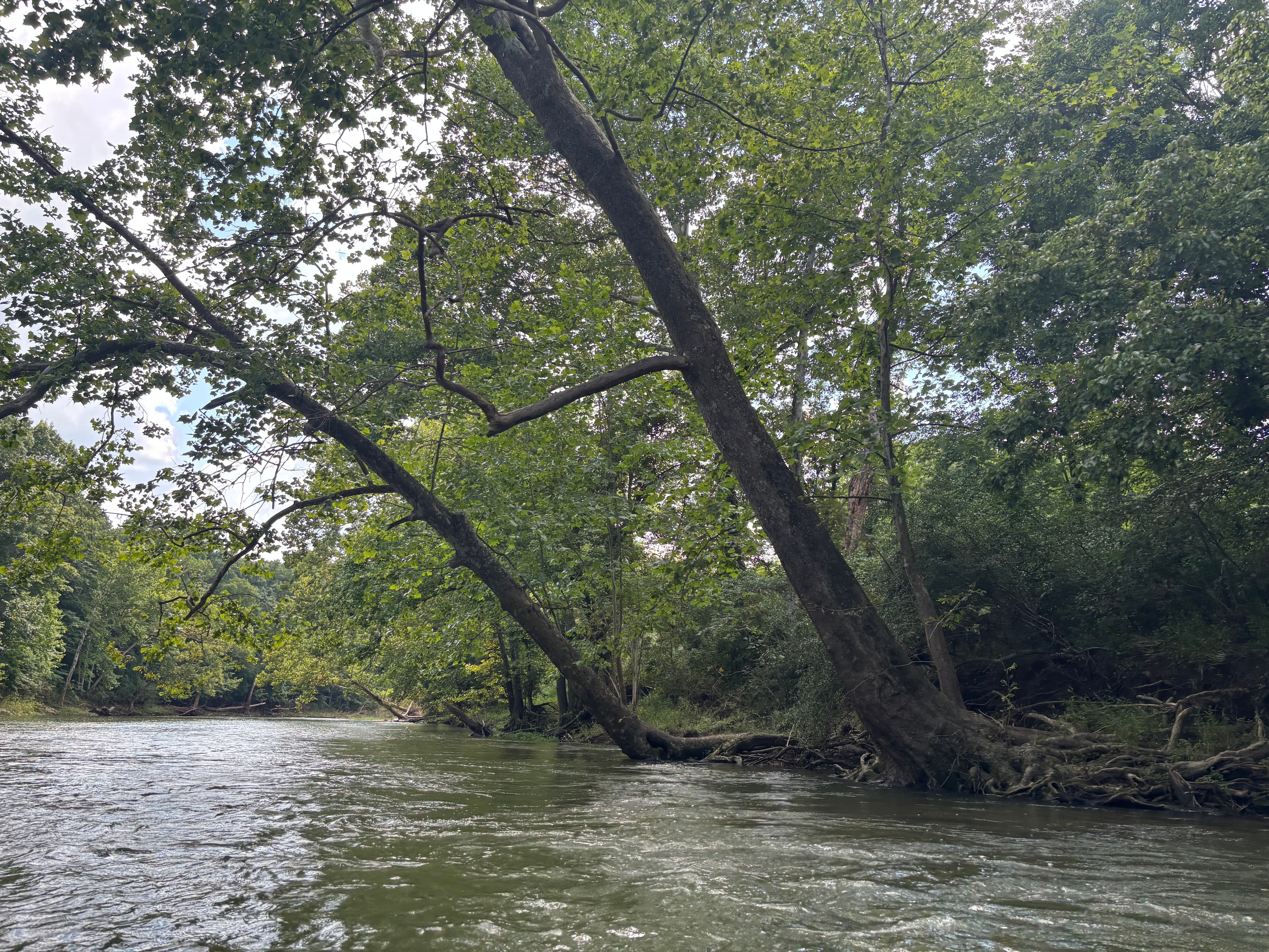
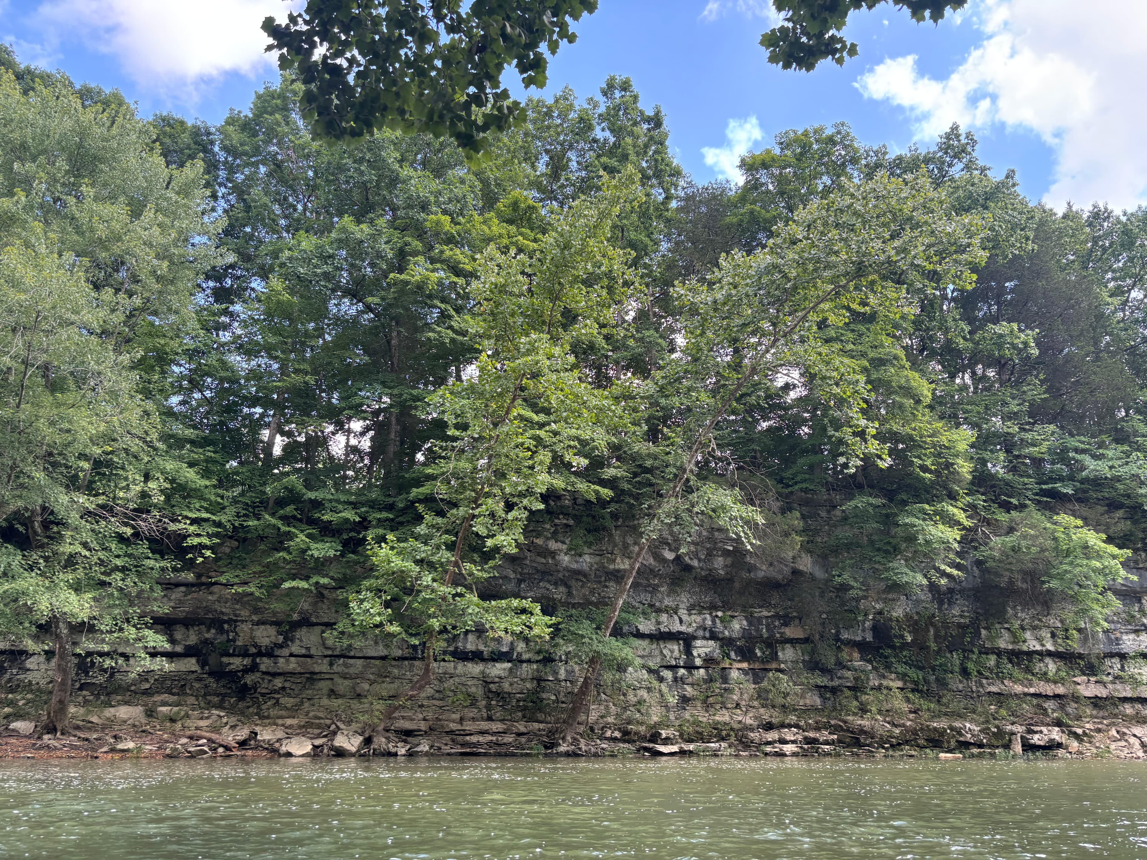 +11
Curated by PaddleWays
12.9 mi flatwater route on the Blue River in Indiana
Level right now
Route facts
About this route
This 12.9-mile journey on the Blue River offers a peaceful paddle through scenic Southern Indiana. The put-in is located at the public access site in Milltown, next to Cave Country Canoes livery, which provides convenient parking and basic maps.
This stretch features a mix of flat water sections interspersed with several small shoals, providing a fun and varied paddling experience. The water quality is generally good, with a somewhat stained appearance at normal levels.
Known for its smallmouth bass fishing, this section winds through remote and wild areas. The trip typically takes 4-6 hours to complete, making it an ideal day trip for paddlers of various skill levels.
The take-out is at Rothrock Mill, where public access and parking are available.
Put-in and take-out
Put-in
Take-out
Hazards
No paddler has reported a hazard here yet, so these are the dams, falls and big rapids on our map. Hazards change with flows and storms, so check them before you launch.
From the community
Real trips from PaddleWays paddlers who ran this route: how the flows were, and what to watch for.
Loading trip reports
Joclyn S.
Kayak •
So many good rapids! Swimming hole Tree you can jump out of
+11The gauges near Milltown to Rothrock Mill and the forecast where it starts, so you can pick your day.
No forecast data available.
Same water
The other curated routes on the Blue River, each with how it is running now.
RouteFlatwater
RouteFlatwater
RouteClass I–II
RouteClass I–II
RouteClass I–II
Close by
Curated routes on other waters within an hour or so, nearest first.
on Ohio River · 25 mi away
RouteFlatwater
on Muscatatuck River · 30 mi away
RouteFlatwater
on East Fork White River · 31 mi away
RouteFlatwater
on Muscatatuck River · 33 mi away
RouteClass II
on East Fork White River · 33 mi away
RouteFlatwater
on East Fork White River · 37 mi away
RouteClass I–II
PaddleWays gives you everything you need to plan smarter, paddle better, and own every trip from first launch to takeout.
