East Fork White River
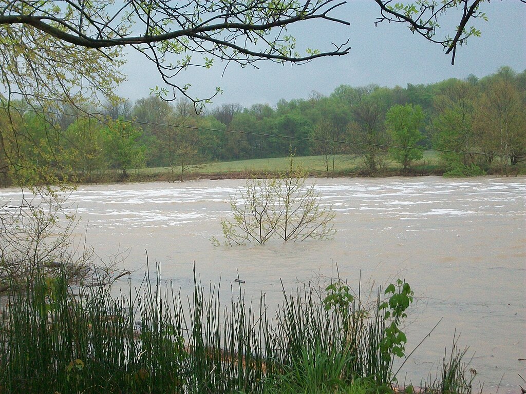
East Fork White River
- Boat Ramps
- 16
- Access Points
- 17
- Campsites
- 7
The East Fork White River is a waterway flowing through south central Indiana. Beginning in Columbus, it meanders for approximately 200 miles before joining the West Fork White River near Petersburg. This river offers paddlers a wide range of experiences, from peaceful flatwater stretches to occasional Class I-II rapids, making it suitable for beginners and intermediate paddlers alike.
The East Fork White River is known for its sandy beaches, scenic landscapes, and reliable water levels, making it a popular destination for paddlers throughout much of the year. The river flows through a mix of farmland, wooded areas, and small towns, providing a quintessential Indiana paddling experience.
Several popular sections offer day trips ranging from 8 to 20 miles. Notable stretches include Columbus to Azalia (8 miles), Medora to Sparksville (12.7 miles), and Williams to Shoals (20 miles). For those seeking longer adventures, multi-day trips are possible, with the entire 200-mile length from Columbus to Shoals offering an epic journey for experienced paddlers.
The river's difficulty varies but generally falls within the Class I-II range, with some flatwater sections interspersed with occasional easy rapids. This makes it an excellent choice for beginners looking to build skills or intermediate paddlers seeking a relaxing float. The most challenging sections are found between Williams and Shoals, where paddlers may encounter a few more rapids.
Spring and early summer typically offer the best water levels for paddling, though the East Fork White River is known for its reliability even during drier periods. Late summer and fall can provide pleasant conditions, but paddlers should check water levels before embarking on their trip.
Wildlife enthusiasts will appreciate the opportunity to spot various bird species, deer, and other riparian fauna along the river's course. The wooded banks provide habitat for a diverse array of plant life, adding to the scenic beauty of the paddle.
Several points of interest dot the river's course, including the impressive 435-foot Medora Covered Bridge, built in 1875 and once part of the coast-to-coast US 50 route. Hindostan Falls, near Shoals, offers a picturesque backdrop and a glimpse into the area's geological history.
Access points are plentiful along the river, with many towns providing public boat ramps or access sites. Key put-in and take-out locations include Columbus, Azalia, Medora, Sparksville, Williams, and Shoals. These towns also offer amenities for resupply on longer trips.
The East Fork White River holds historical significance as a transportation route and source of power for early settlers and industry in the region. Today, it serves as an important recreational resource and natural corridor through southern Indiana.
Safety considerations include being aware of occasional strainers or log jams, especially after high water events. Paddlers should always wear life jackets and be prepared for changing weather conditions. It's also advisable to check water levels and any local advisories before setting out.
For those interested in multi-day adventures, the stretch from Williams to Shoals offers a popular weekend trip, with camping available at nearby state forests and fish and wildlife areas. Longer expeditions can be planned using the numerous access points along the river's course.
The East Fork White River provides a perfect blend of accessibility, scenic beauty, and paddling variety, making it a cherished destination for Indiana paddlers and visitors alike. Whether you're seeking a short day trip or an extended journey, this river offers something for every paddler to enjoy.
Water access, boat ramps & amenities
Learn how to get on East Fork White River. Uncover great paddling access points, boat ramps, and all the facilities you need for an unforgettable day on the water. Some locations shown may border or include private property. Always check property boundaries and applicable regulations before visiting. PaddleWays's Public & Private Land layer can help you plan your access with confidence.
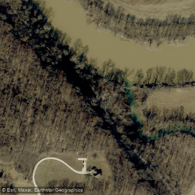
Paddle smarter with real-time insights
Whether you're en route and conditions shift or you're looking for the best spot based on current flows, we enable you to make informed decisions on the fly.








Find Places to Paddle

Over 400,000 Places to Paddle
Every user gets free access to launch points, boat ramps, and public property parcels.


Water and weather conditions (10 day forecast)
See the best times to paddle East Fork White River and check the forecast before you go.
EAST FORK WHITE RIVER AT SEYMOUR, IN
All Flow Stations
Paddling near East Fork White River
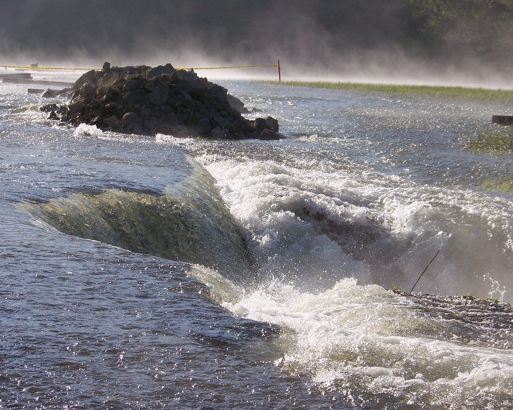
Monroe Lake

White River
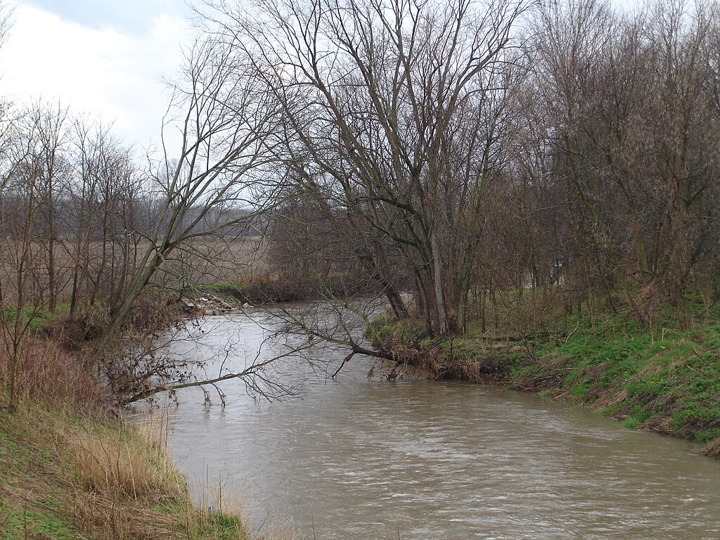
Big Blue River
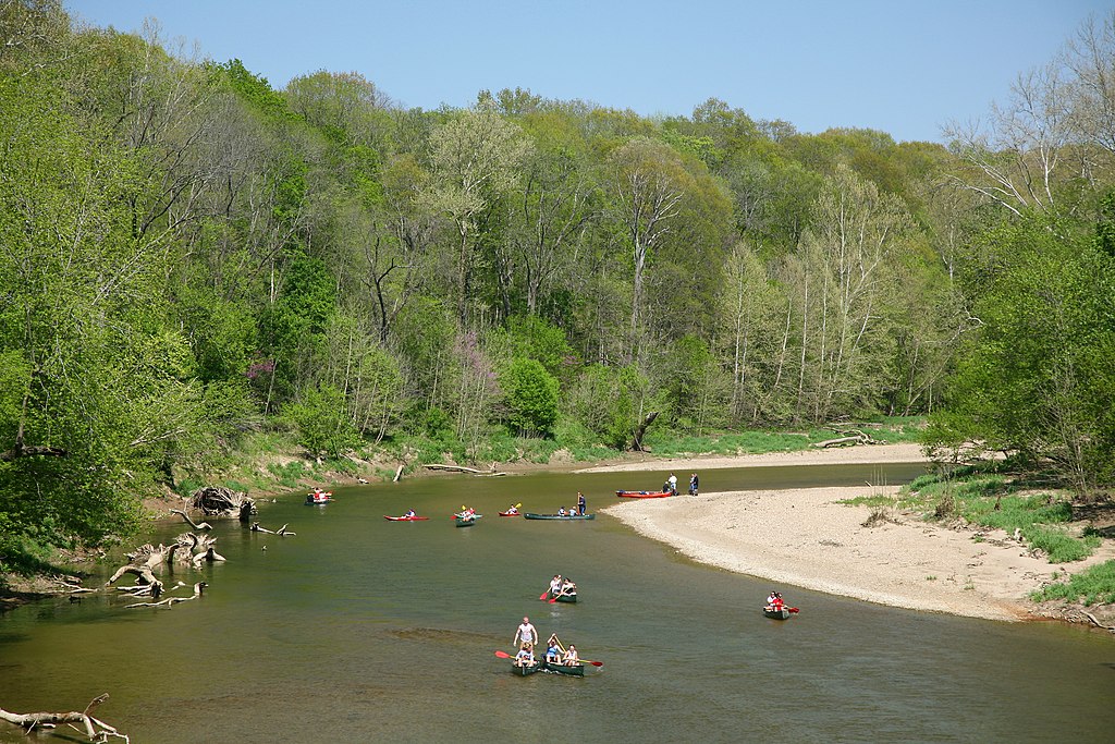
Sugar Creek
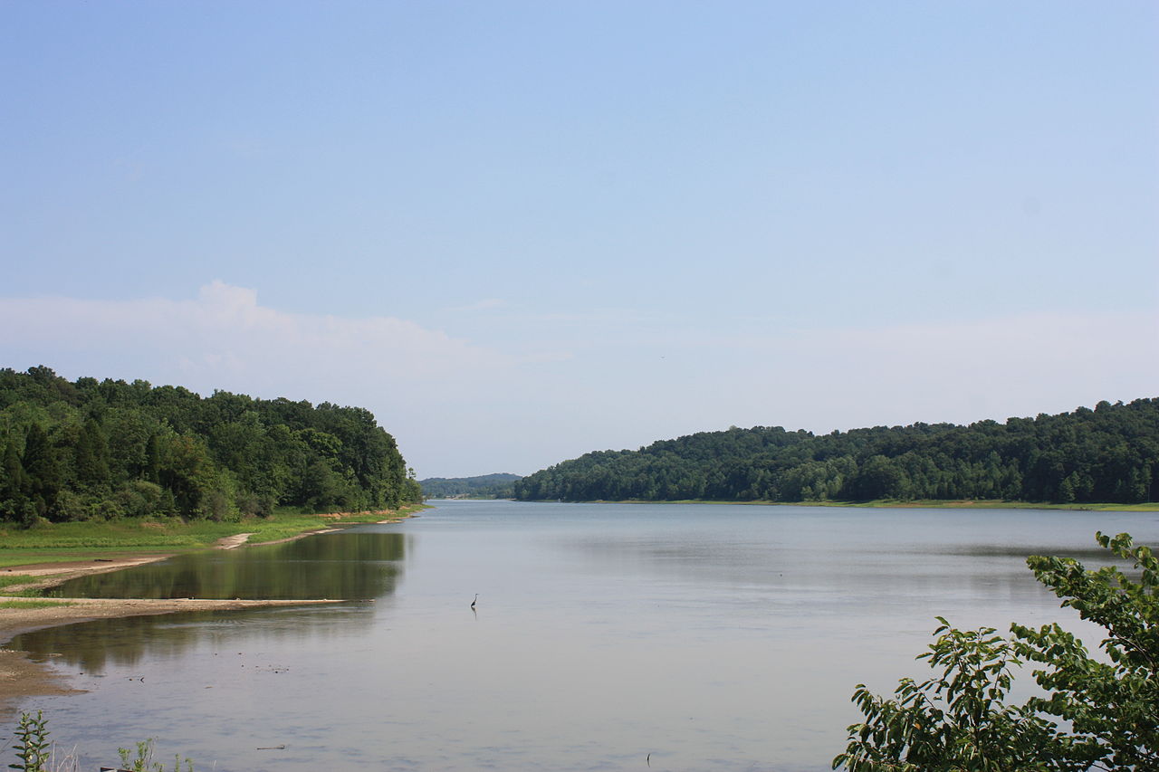
Patoka Lake
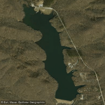
Yellowwood Lake
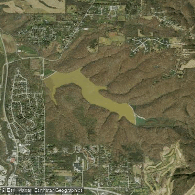
Griffy Reservoir
North Fork Salt Creek
Clear Creek
Explore Indiana waters
Top paddling waters
Popular Cities
Loading popular cities...
Explore near East Fork White River
Access points
Nearby waters
More in Indiana

Smarter Paddling Starts in the App.
Paddleways gives you everything you need to plan smarter, paddle better, and own every trip from first launch to takeout.