Muscatatuck River
Muscatatuck River
- Boat Ramps
- 4
- Access Points
- 4
- Campsites
- 4
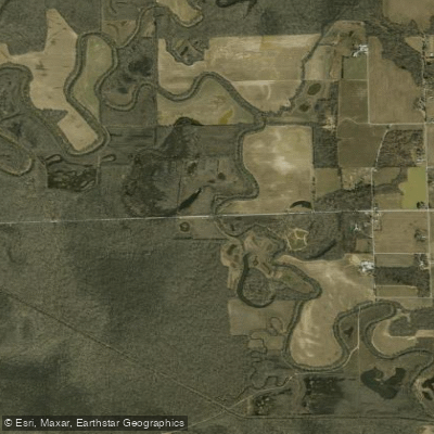
The Muscatatuck River is a scenic waterway that winds through southeastern Indiana, draining over 1,000 square miles of largely agricultural land. As a major tributary of the East Fork White River, the Muscatatuck follows a meandering course characterized by its muddy waters, silt bottom, and mud banks.
This river offers paddlers a diverse range of experiences, from peaceful flatwater stretches to occasional Class I-II rapids, making it suitable for both beginners and intermediate paddlers. The most popular paddling section runs from Tampico to Sparksville, covering approximately 30 miles. This stretch provides a quintessential Muscatatuck experience, showcasing the river's winding nature and the surrounding rural landscape.
Along the way, paddlers will encounter several well-established access points, including the put-in near Tampico and public access sites at Millport and 3 miles west of Millport. For those seeking a shorter adventure, the 3-mile section from Millport to west of Millport offers a pleasant day trip. More experienced paddlers might enjoy the Sages Ferry to Millport section, which presents some Class II rapids and a more challenging paddling experience.
The Vernon area is particularly noteworthy, often considered the finest section of the Muscatatuck. Here, paddlers are treated to views of steep dells, exposed bluffs, and occasional small waterfalls where tributary streams join the main river. The Vernon Commons provides an excellent put-in point, especially suitable for canoes.
Spring and early summer typically offer the best water levels for paddling, though the Muscatatuck can be enjoyed year-round with proper precautions. Fall foliage season provides a spectacular backdrop for late-season trips.
Wildlife enthusiasts will appreciate the river's ecosystem, which supports a variety of flora and fauna. The Muscatatuck National Wildlife Refuge, located near the river, hosts an annual "Wings over the Muscatatuck" birding event each spring, highlighting the area's importance for migratory birds.
Several towns provide convenient access points and services for paddlers. Vernon, North Vernon, and Tampico are notable stops along the river. Camping options are available at the Crosley Fish and Wildlife Area south of Vernon and at Muscatatuck County Park between Vernon and North Vernon.
Historically, the Muscatatuck River played a significant role in the early development of the region. The river powered mills and provided transportation, with evidence of this heritage still visible at sites like Millport, where remnants of old mill operations can be found.
Safety considerations include being aware of potential log jams, especially after high water events, and checking water levels before embarking on a trip. As with any river, wearing a personal flotation device is essential.
For those interested in multi-day adventures, the full Tampico to Sparksville route offers an excellent 2-3 day trip, with the final leg incorporating a stretch of the East Fork White River. This journey provides a comprehensive experience of the Muscatatuck's changing character and the surrounding Indiana countryside.
The Muscatatuck River, with its mix of peaceful stretches and occasional challenges, offers a quintessential Midwestern paddling experience. Whether you're a local looking for a quick day trip or an out-of-state visitor seeking a multi-day adventure, the Muscatatuck provides a rich tapestry of natural beauty and outdoor recreation opportunities.
Water access, boat ramps & amenities
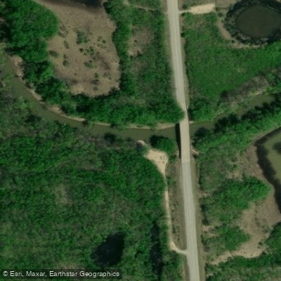
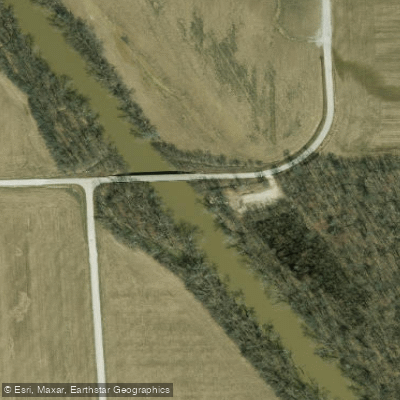
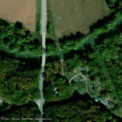
Learn how to get on Muscatatuck River. Uncover great paddling access points, boat ramps, and all the facilities you need for an unforgettable day on the water. Some locations shown may border or include private property. Always check property boundaries and applicable regulations before visiting. PaddleWays's Public & Private Land layer can help you plan your access with confidence.
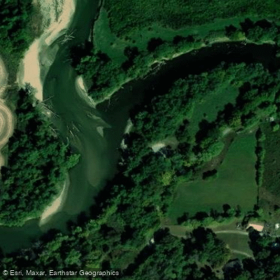
Paddle smarter with real-time insights
Whether you're en route and conditions shift or you're looking for the best spot based on current flows, we enable you to make informed decisions on the fly.








Find Places to Paddle

Over 400,000 Places to Paddle
Every user gets free access to launch points, boat ramps, and public property parcels.


Water and weather conditions (10 day forecast)
See the best times to paddle Muscatatuck River and check the forecast before you go.
MUSCATATUCK RIVER NEAR DEPUTY, IN
Paddling near Muscatatuck River
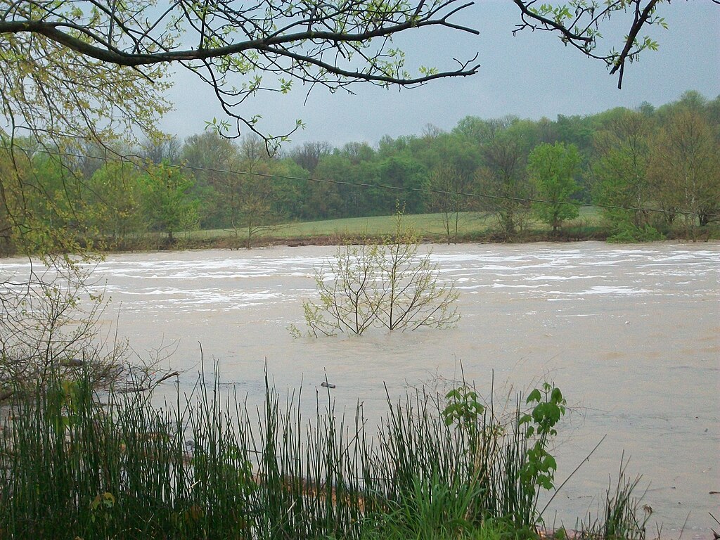
East Fork White River
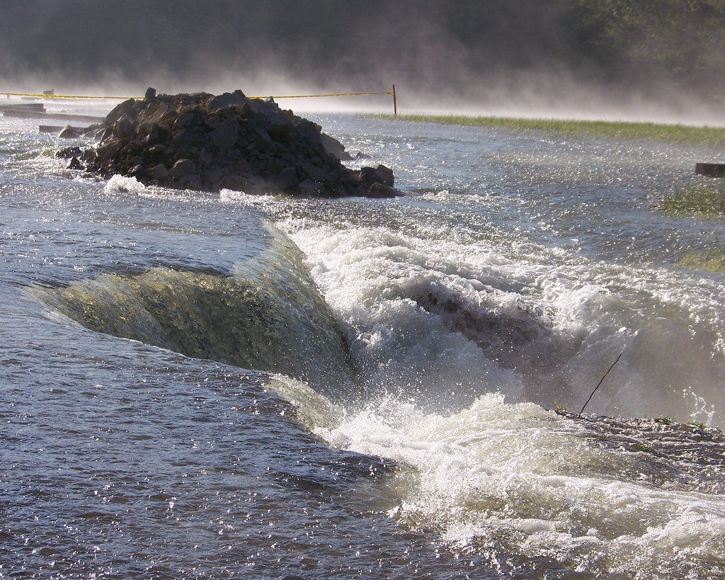
Monroe Lake

Ohio River
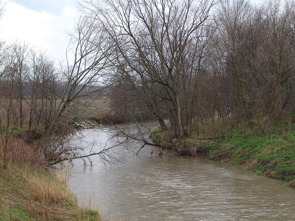
Big Blue River
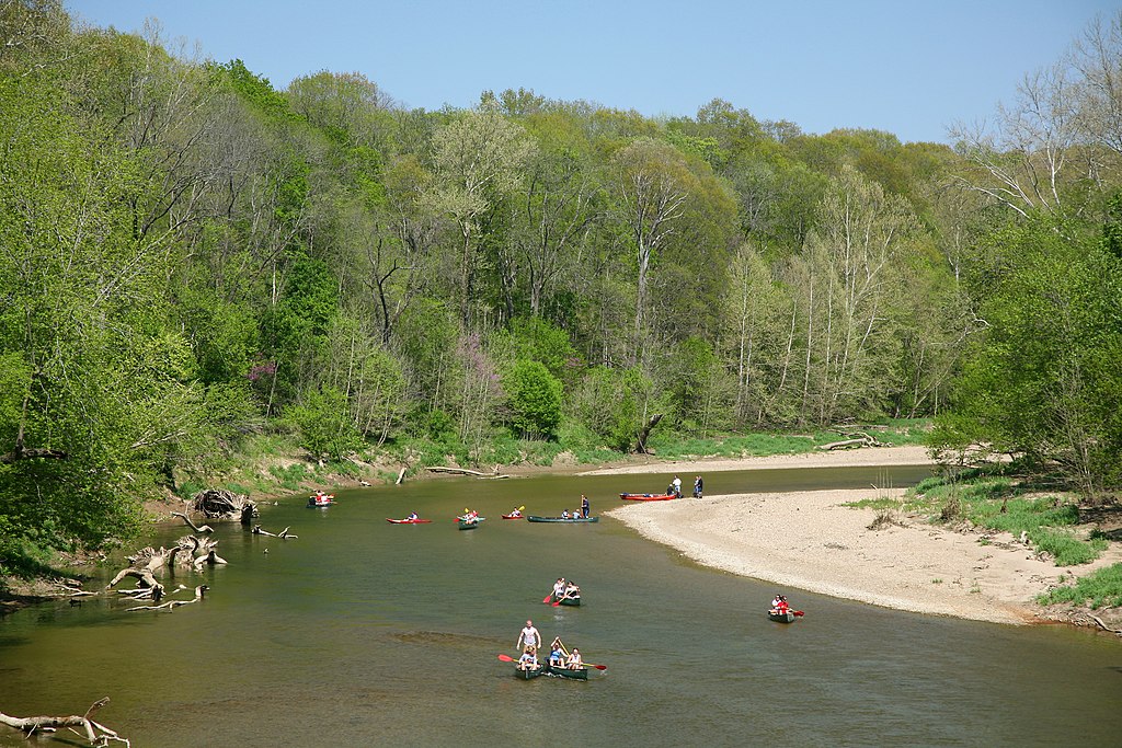
Sugar Creek

White River
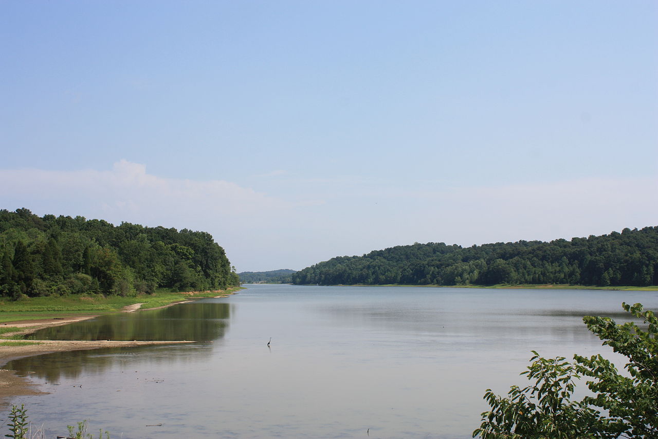
Patoka Lake
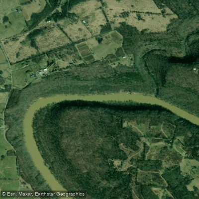
Kentucky River
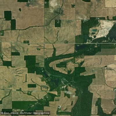
Flatrock River
Explore Indiana waters
Top paddling waters
Popular Cities
Loading popular cities...
Explore near Muscatatuck River
Access points
- Sages Ferry Boat Ramp
- Low Water Bridge Boat Ramp
- Milport Boat Ramp
- White-Muscatatuck Boat Ramp
- Muscatatuck River Bridge
- Muscatatuck River Bridge
- Muscatatuck River Bridge
- Muscatatuck River Bridge
- Muscatatuck River Bridge
- S. Fk Muscatatuck River Bridge
- Muscatatuck River Bridge
- Muscatatuck River Ovfl Bridge
- All 135 spots
Nearby waters
More in Indiana

Smarter Paddling Starts in the App.
Paddleways gives you everything you need to plan smarter, paddle better, and own every trip from first launch to takeout.