Curated by PaddleWays
RouteFlatwater
- Distance
- 12.3 mi
- Paddle time
- ~4 hrs
- Put-in → take-out
- Fredericksburg Access → Tailwater Boat Ramp
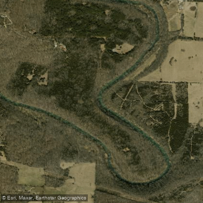
The Blue River originates in Washington County, Indiana, flowing northward through a landscape carved by ancient geological forces in the Driftless Area before eventually joining the Ohio River near Leavenworth in Harrison County. This spring-fed stream was the first Indiana waterway designated under the Natural Scenic and Recreational Rivers Act of 1973, a testament to its exceptional natural character. The river meanders through approximately 50 miles of limestone bluffs, forested hillsides, and pastoral valleys, creating an intimate paddling corridor that feels remarkably remote despite its accessibility.
Paddling opportunities center primarily on the section from Fredericksburg (Washington County) downstream through Crawford and Harrison counties to the Ohio River confluence. The most popular segments include Fredericksburg to Milltown (approximately 12-14 miles), Milltown to Rothrock's Mill (about 14 miles), and Rothrock's Mill to Blue River Chapel (approximately 10 miles). These stretches offer Class I water with continuous riffles, occasional small ledges, and swift current when water levels permit. The river's narrow, meandering character demands intermediate paddling skills, particularly for maneuvering around tight bends and occasional obstacles.
Water levels critically determine paddling viability. The Blue River is highly seasonal, typically floatable only from March through mid-July following adequate rainfall or spring snowmelt. Ideal conditions occur when correlational gauges read around 4-5 feet on the Platte River gauge. Summer and fall often leave the stream too shallow for comfortable passage, requiring frequent portages over exposed limestone ledges.
The river corridor supports diverse wildlife including Great Blue Herons, kingfishers, wood ducks, beavers, muskrats, and white-tailed deer. The waterway maintains a healthy smallmouth bass population alongside rock bass, bluegill, and channel catfish. Numerous cold-water springs feed the main channel, supporting the river's designation as a Class II trout stream.
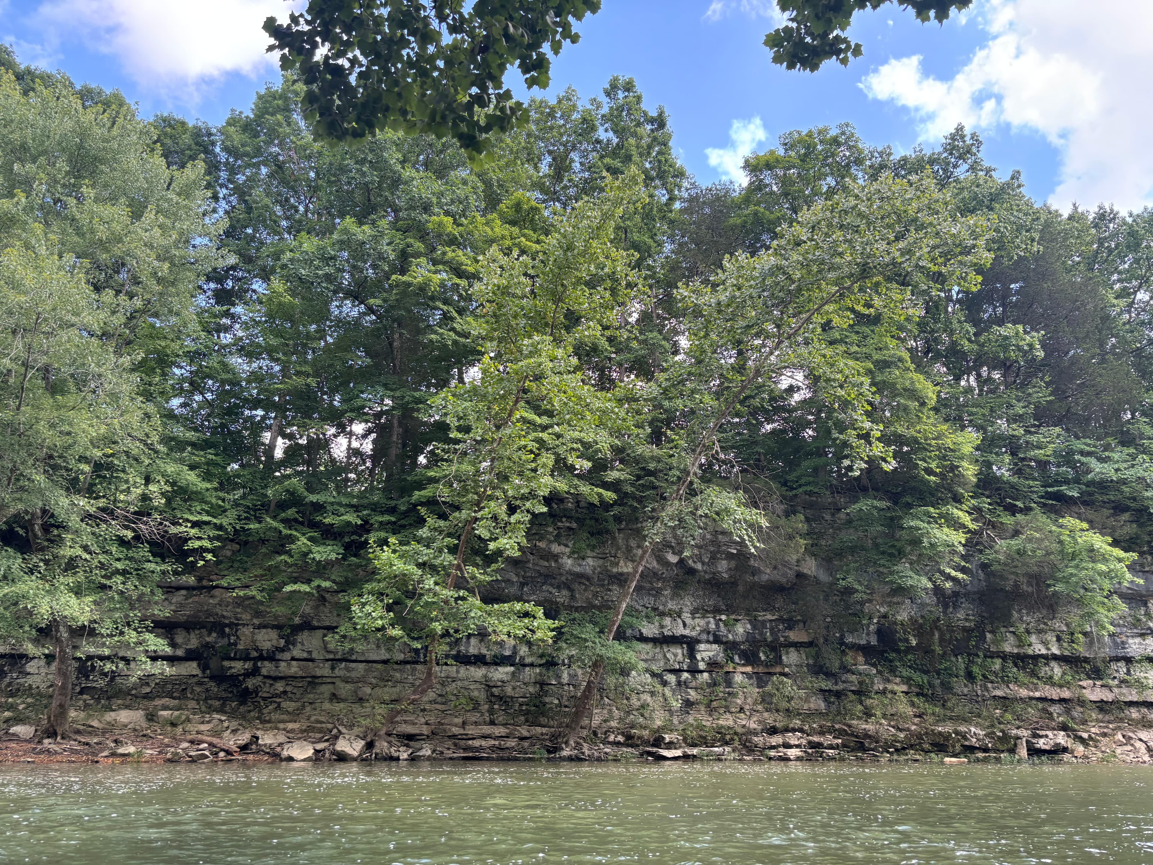
Dramatic limestone bluffs rising 100 feet or more define much of the landscape, particularly between Milltown and Rothrock's Mill. Massive boulders—some the size of vehicles—dot the hillsides and banks, having calved from the cliffs above over millennia. Harrison Spring, Indiana's largest natural spring, emerges near the river in Harrison County, creating a notable tributary. Historic remnants of water-powered mills exist at Rothrock's Mill and Milltown, connecting to the region's 19th-century settlement patterns.
Access points include bridges at Fredericksburg, Milltown, Rothrock's Mill, and Blue River Chapel, though facilities vary in quality. Most are simple roadside pull-offs rather than developed launches. Two canoe liveries—Old Mill Canoe Rental near Fredericksburg and Cave Country Canoes in Milltown—provide rentals and shuttle services. Paddlers should anticipate agricultural fencing (barbed wire and electric tape) across the stream in several locations, requiring portage or careful navigation. The river's swift current and narrow channel demand attention to boat control and obstacle avoidance.
Curated routes
Hand-picked by the PaddleWays team, with put-ins, take-outs, paddle times and the hazards along the way.
RouteFlatwater
RouteClass II
RouteFlatwater
RouteClass I–II
RouteClass I–II
RouteClass I–II
Hazards
No paddler has reported a hazard here yet, so these are the dams, falls and big rapids on our map. Hazards change with flows and storms, so check them before you launch.
From the community
Real trips from PaddleWays paddlers: which route they ran, how the flows were, and what to watch for.
Loading trip reports

Joclyn S.
Kayak •
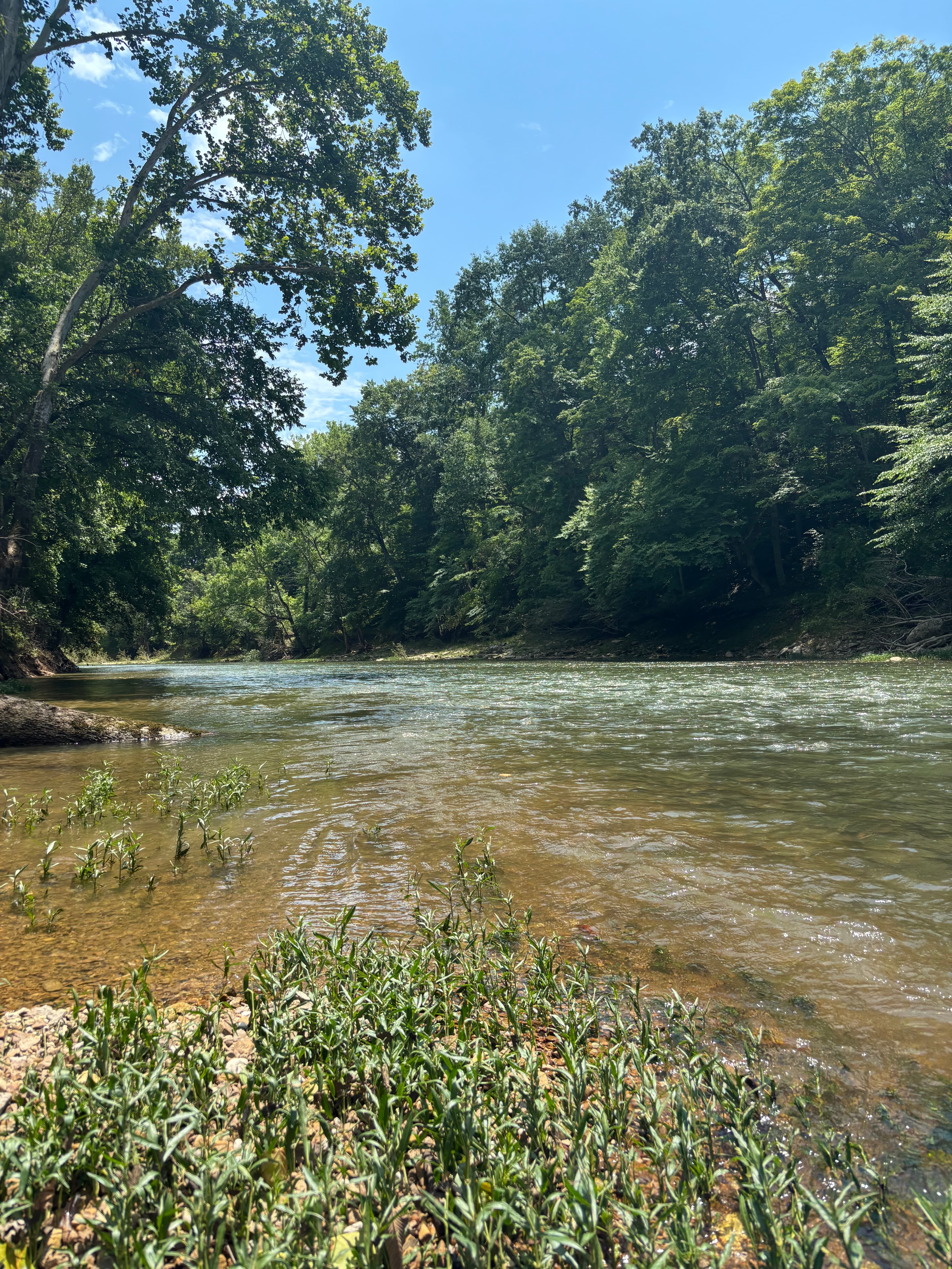
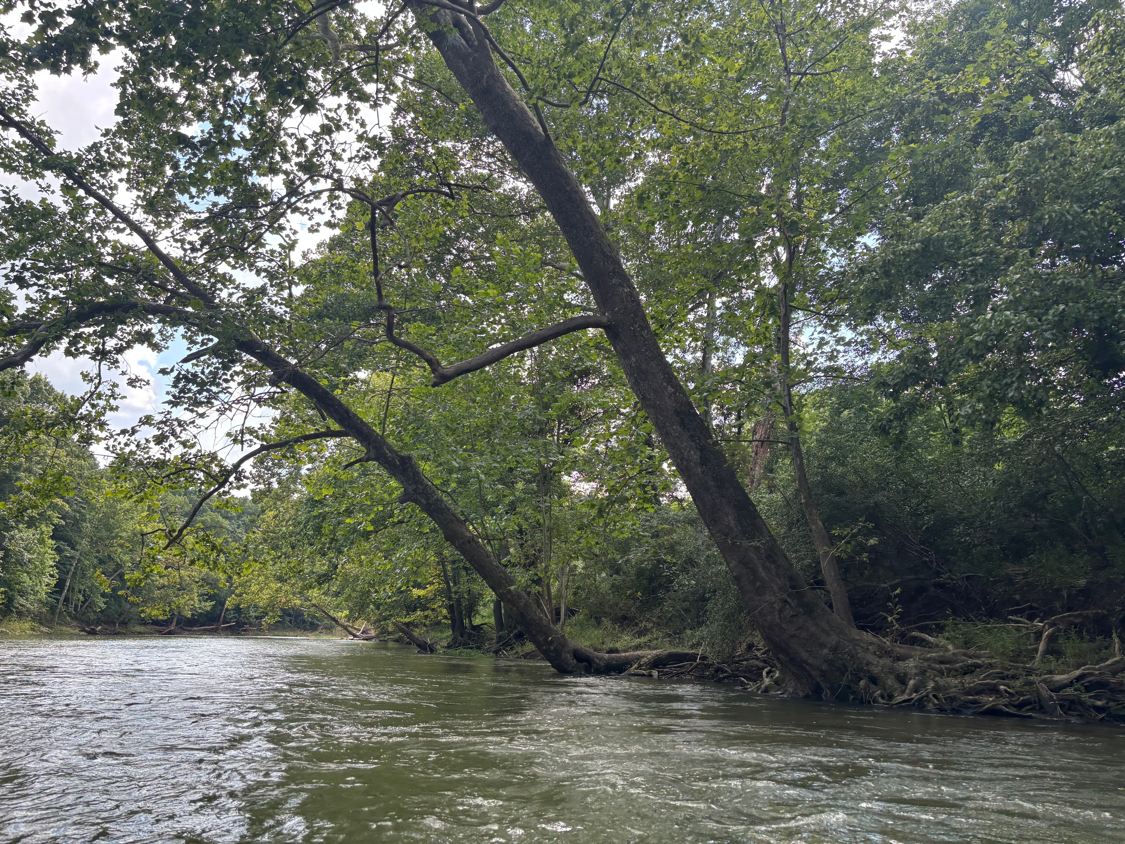
So many good rapids! Swimming hole Tree you can jump out of
 +11
PaddleWays paddler
Kayak •
Blue River Bridge to Recreation Campsite• 433 cfs at Fredericksburg
PaddleWays paddler
Kayak •
Blue River Bridge to Recreation Campsite• 500 cfs at Fredericksburg
Blue River Bridge to Recreation Campsite

William H. •
First time on this creek, beautiful scenery and the water was perfect flow at the time o was there
See exactly where the public can get on and off the river. Launch points and boat ramps are paired with PaddleWays' public land data so you know where you can legally land.
Public shoreline
23%of the river's shoreline is public
Most of the riverbank is private. Launch, land and camp only at public access points.
Flows, weather and a route-by-route verdict, so you know which stretch of the Blue River is worth paddling today.
All Flow Stations
Live flows, marked hazards and fresh trip reports from paddlers who were just on the water, all in one place.





Every user gets free access to launch points, boat ramps, and public property parcels.

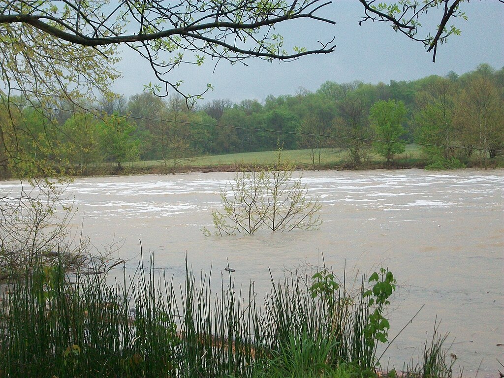
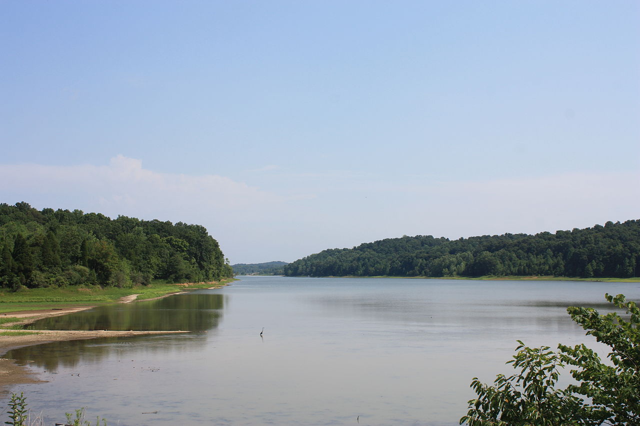
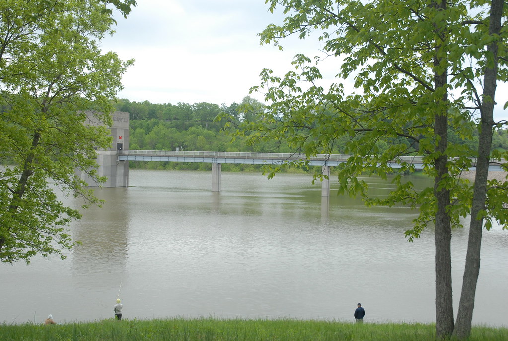
Loading popular cities...
PaddleWays gives you everything you need to plan smarter, paddle better, and own every trip from first launch to takeout.