Josh S.
Canoe •
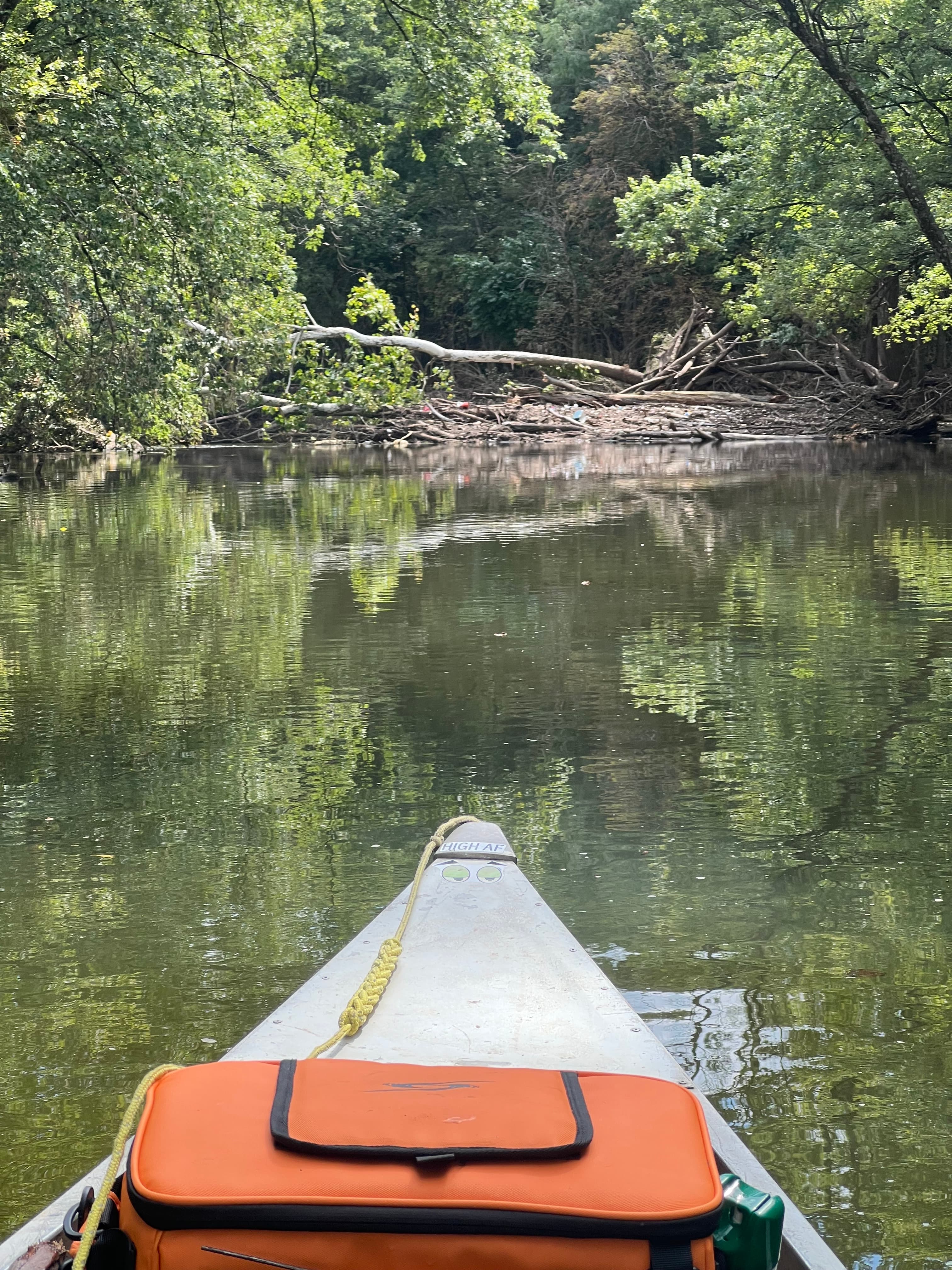
First trip post flood. Some strainers down, but easily passable.
Curated by PaddleWays
4.1 mi flatwater route on the White River in Indiana
Level right now
Route facts
About this route
The Priest Ford to Daleville section of the White River is a popular and beginner-friendly paddle in Indiana. This 4.1-mile stretch typically takes about 2-3 hours to complete, making it an excellent half-day trip.
The put-in is located at Priest Ford Road, and the take-out is at Canoe Country in Daleville. This section is great for both beginners and intermediates, offering a relaxing float through scenic surroundings.
The river here is generally calm, with no significant rapids mentioned. Canoe Country, the outfitter at the take-out, provides rentals and shuttle services for this section.
The best water levels for paddling are when the gauge reads between 5.04 and 4.84 feet, which is considered excellent conditions. Fair conditions are noted at 4.00 feet and below.
Put-in and take-out
Put-in
Take-out
Hazards
Reported by paddlers. Hazards change with flows and storms, so check them before you launch.
Strainer
Passable on River Left
From the community
Real trips from PaddleWays paddlers who ran this route: how the flows were, and what to watch for.
Loading trip reports
Josh S.
Canoe •
First trip post flood. Some strainers down, but easily passable.
The gauges near Priest Ford to Daleville and the forecast where it starts, so you can pick your day.
No forecast data available.
Same water
The other curated routes on the White River, each with how it is running now.
RouteFlatwater
RouteFlatwater
RouteFlatwater
RouteFlatwater
RouteClass II
RouteFlatwater
Close by
Curated routes on other waters within an hour or so, nearest first.
on Mississinewa River · 20 mi away
RouteFlatwater
on Mississinewa River · 23 mi away
RouteClass II
on Cicero Creek · 26 mi away
RouteFlatwater
on Fall Creek · 27 mi away
RouteFlatwater
PaddleWays gives you everything you need to plan smarter, paddle better, and own every trip from first launch to takeout.
