Cicero Creek
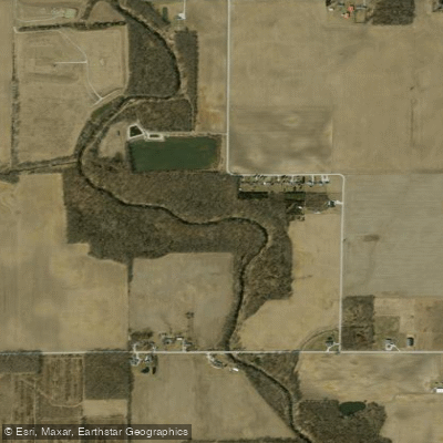
Cicero Creek
- Boat Ramps
- 1
- Access Points
- 4
- Campsites
- 4
Cicero Creek is a scenic waterway in central Indiana, originating near Tipton and flowing southward to its confluence with the White River near Noblesville. This tributary of the White River meanders through Hamilton and Tipton counties, draining a significant portion of the local watershed.
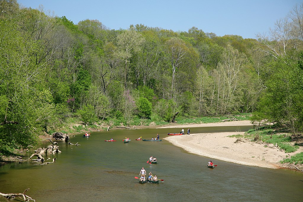
The creek offers two distinct paddling experiences. The upper section from Tipton to Morse Lake provides a serene 15.5-mile journey suitable for beginners and intermediate paddlers. This stretch winds through a mix of woodlands and open farmland, with generally calm waters interspersed with occasional shallow rocky areas. Wildlife is abundant, with paddlers likely to spot kingfishers, herons, eagles, deer, and muskrats.
Below Morse Reservoir, Cicero Creek transforms into a more challenging waterway. The approximately 10-mile section from the reservoir to the White River features numerous obstacles, including shallow spots, log jams, and areas requiring portage. This lower stretch is best suited for experienced kayakers comfortable with technical maneuvering and prepared for a physically demanding adventure.
Water levels in Cicero Creek fluctuate seasonally, with spring and early summer typically offering the most reliable flow. Late summer and fall can bring lower water levels, potentially increasing the number of shallow spots and portages, especially in the lower section.
Access points for Cicero Creek include put-ins near Tipton for the upper section, while the lower section can be accessed below Morse Reservoir. Take-out points are available at Morse Lake and near the confluence with the White River.
Paddlers should be aware of potential hazards such as strainers and log jams, particularly in the lower section. It's advisable to check current conditions and water levels before embarking on a trip. Local regulations may apply, especially around Morse Reservoir.
For those seeking a multi-day adventure, combining a trip on Cicero Creek with a paddle down the White River is possible, though careful planning is required due to the varying difficulty levels.
Cicero Creek plays a vital role in the local ecosystem and serves as an important waterway for the communities it passes through. Its journey from the peaceful upper stretches to the more wild lower section offers paddlers a diverse Indiana creek experience, showcasing the state's natural beauty and providing a range of paddling challenges.
Water access, boat ramps & amenities
Learn how to get on Cicero Creek. Uncover great paddling access points, boat ramps, and all the facilities you need for an unforgettable day on the water. Some locations shown may border or include private property. Always check property boundaries and applicable regulations before visiting. PaddleWays's Public & Private Land layer can help you plan your access with confidence.
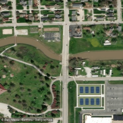

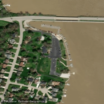
Paddle smarter with real-time insights
Whether you're en route and conditions shift or you're looking for the best spot based on current flows, we enable you to make informed decisions on the fly.








Find Places to Paddle

Over 400,000 Places to Paddle
Every user gets free access to launch points, boat ramps, and public property parcels.


Water and weather conditions (10 day forecast)
See the best times to paddle Cicero Creek and check the forecast before you go.
CICERO CREEK AT TIPTON, IN
All Flow Stations
Paddling near Cicero Creek

White River
Sugar Creek
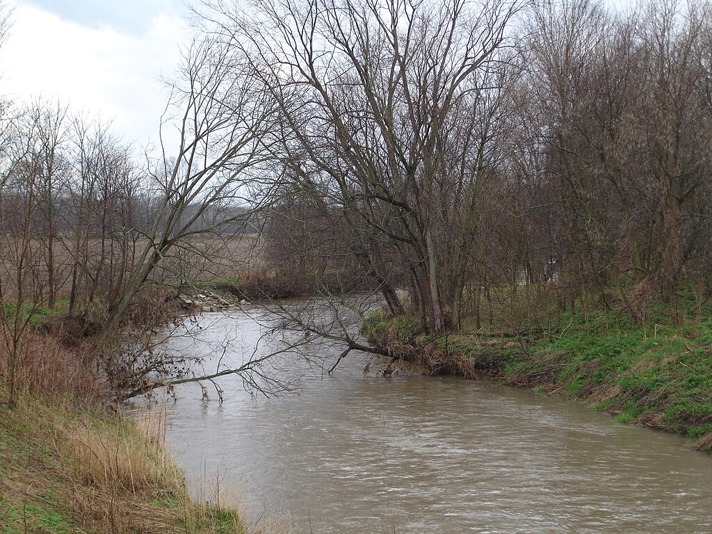
Big Blue River
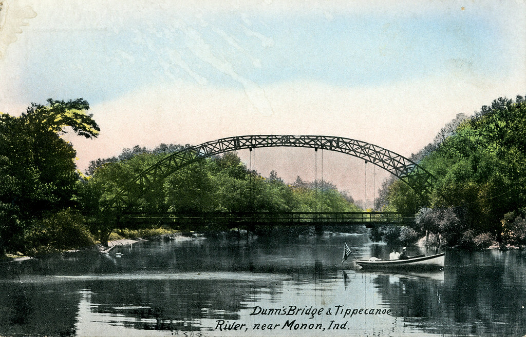
Tippecanoe River
Morse Reservoir
Sugar Creek

Geist Reservoir
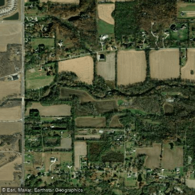
Fall Creek
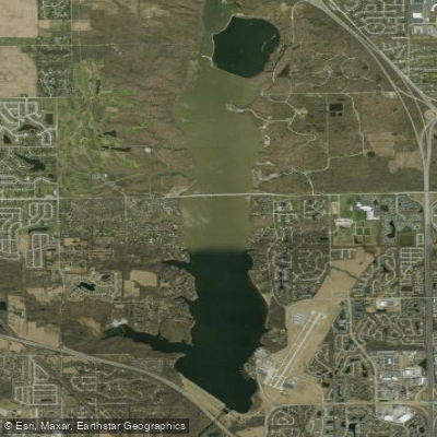
Eagle Creek Reservoir
Explore Indiana waters
Top paddling waters
Popular Cities
Loading popular cities...
Explore near Cicero Creek
Access points
Nearby waters
More in Indiana

Smarter Paddling Starts in the App.
Paddleways gives you everything you need to plan smarter, paddle better, and own every trip from first launch to takeout.