Fall Creek
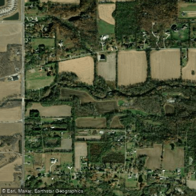
Fall Creek
- Boat Ramps
- 2
- Access Points
- 4
- Campsites
- 4
Fall Creek originates in Henry County, Indiana, flowing generally westward through Madison County before turning northwest through Hamilton County and eventually joining the White River in downtown Indianapolis, Marion County. This 60-mile tributary drains approximately 400 square miles and passes through a landscape that transitions from agricultural flatlands to wooded ravines and urban corridors.
The creek's character varies dramatically along its course. In the upper reaches near Pendleton in Madison County, Fall Creek meanders through relatively flat terrain with occasional riffles during adequate flow. As it enters Hamilton County, the creek encounters more pronounced topography, cutting through limestone bluffs and creating scenic wooded corridors. The section flowing through Fort Harrison State Park in Marion County offers particularly attractive paddling, with mature hardwood forests lining the banks and minimal development visible from the water.
Paddling opportunities center primarily on two distinct areas. Above Geist Reservoir in Hamilton County, paddlers can launch near Geist Park in Fortville and explore upstream sections of Fall Creek or navigate the shallow, algae-filled channels leading toward the reservoir's east end. The more popular paddling corridor lies below Geist Dam, where approximately 10 miles of navigable water extends from the 79th Street bridge area through Fort Harrison State Park to downtown Indianapolis. This lower section features gentle current, occasional shallow areas requiring portage during low water, and multiple access points including Fall Creek Corridor Park.
Water levels fluctuate significantly with rainfall. The USGS gauge near Millersville provides critical flow data—levels around 2 feet allow navigation but may require walking boats over shallow spots, while flows above 7 feet approach flood stage and become dangerous. Late spring through early fall typically offers the most reliable conditions, though summer can bring very low water requiring careful route selection.
Wildlife viewing opportunities abound, particularly in the Fort Harrison State Park section. Great blue herons, green herons, and great white egrets frequent the waterway. Belted kingfishers dive for fish along the entire corridor. Bald eagles have been documented along the creek, particularly in less-developed sections. White-tailed deer, muskrats, and various turtle species are commonly observed. The riparian forests support populations of pileated woodpeckers and numerous songbird species during migration.
Historical significance includes the 1824 Fall Creek Massacre site near the Warrick-Gibson county line, though this lies outside the primary paddling corridor. The creek powered early mills and shaped settlement patterns throughout the region.
Paddlers must navigate several low-head dams requiring portage, particularly in the urban sections. The Geist Dam itself is not accessible and should never be approached from upstream. Combined sewer overflows affect water quality in Marion County, especially after heavy rains—avoid paddling within 48 hours of significant rainfall in the Indianapolis area. No special permits are required, but standard Indiana boating regulations apply.
Water access, boat ramps & amenities
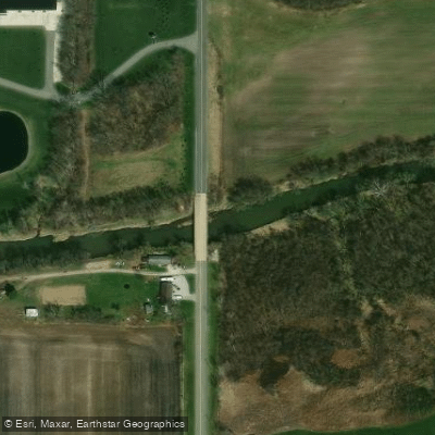
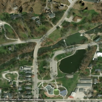
Learn how to get on Fall Creek. Uncover great paddling access points, boat ramps, and all the facilities you need for an unforgettable day on the water. Some locations shown may border or include private property. Always check property boundaries and applicable regulations before visiting. PaddleWays's Public & Private Land layer can help you plan your access with confidence.
Paddle smarter with real-time insights
Whether you're en route and conditions shift or you're looking for the best spot based on current flows, we enable you to make informed decisions on the fly.








Find Places to Paddle

Over 400,000 Places to Paddle
Every user gets free access to launch points, boat ramps, and public property parcels.


Water and weather conditions (10 day forecast)
See the best times to paddle Fall Creek and check the forecast before you go.
FALL CREEK AT 79TH ST AT INDIANAPOLIS, IN
All Flow Stations
Paddling near Fall Creek

White River
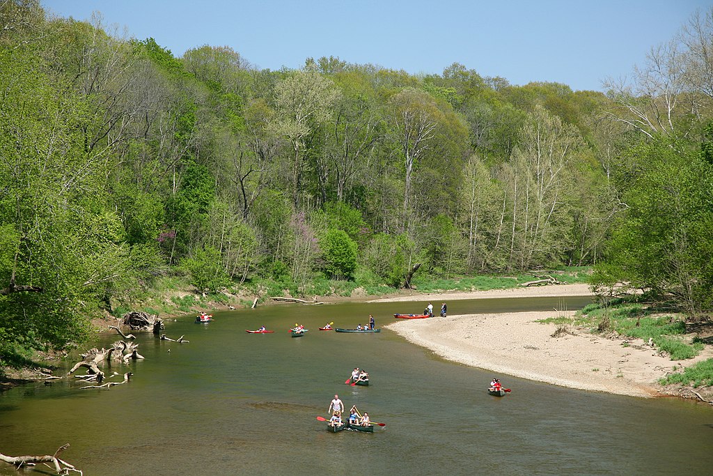
Sugar Creek
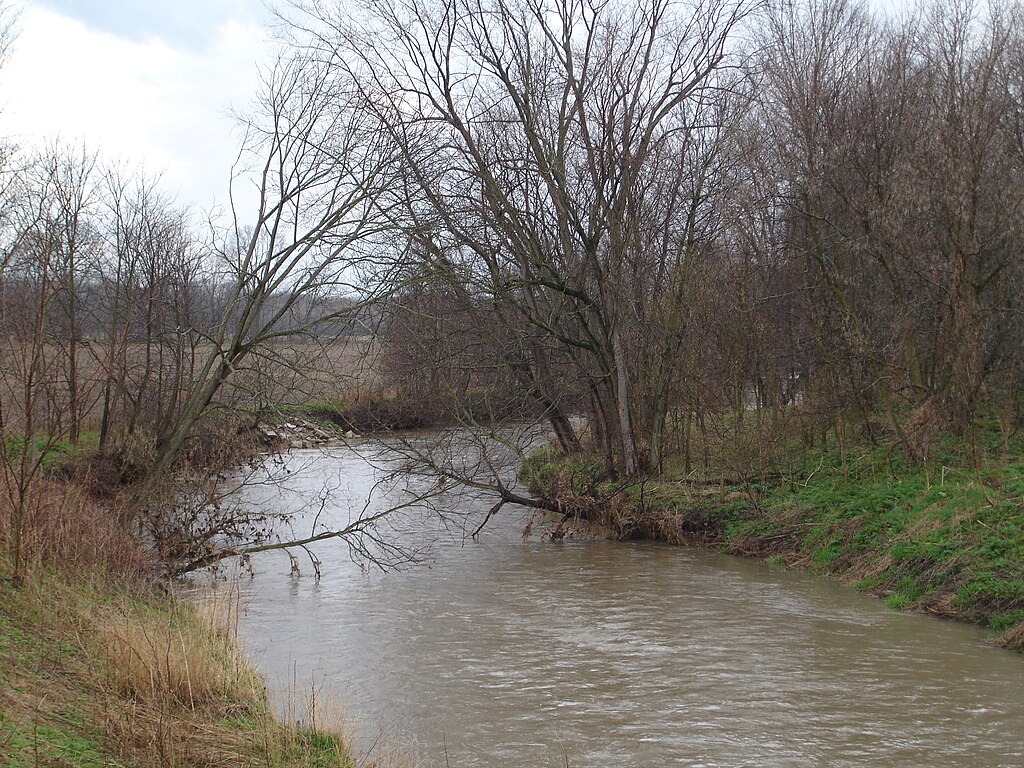
Big Blue River
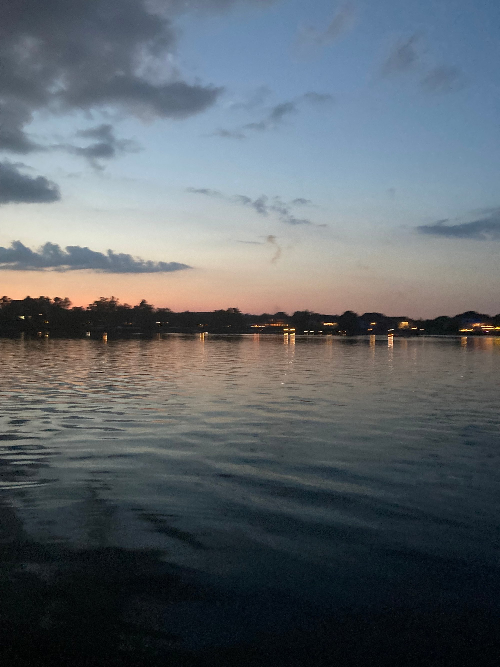
Geist Reservoir
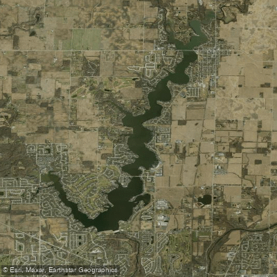
Morse Reservoir
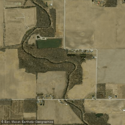
Cicero Creek
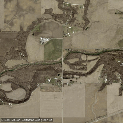
Sugar Creek
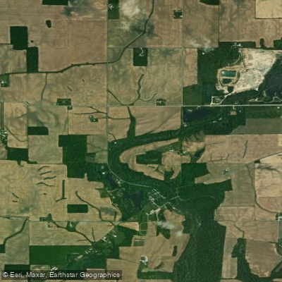
Flatrock River
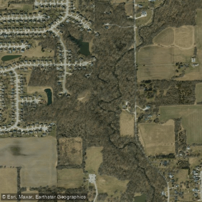
Buck Creek
Explore Indiana waters
Top paddling waters
Popular Cities
Loading popular cities...
Explore near Fall Creek
Access points
Nearby waters
More in Indiana

Smarter Paddling Starts in the App.
Paddleways gives you everything you need to plan smarter, paddle better, and own every trip from first launch to takeout.