Mississinewa River
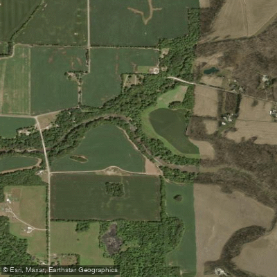
Mississinewa River
- Boat Ramps
- 2
- Access Points
- 5
- Campsites
- 11
The Mississinewa River is a significant waterway in east-central Indiana, originating in Ohio and flowing approximately 100 miles westward and northward before joining the Wabash River near Peru, Indiana. Known for its swift current, the river drops an average of 3.3 feet per mile, making it one of the fastest-flowing streams in the state.
Paddling opportunities on the Mississinewa River range from peaceful flatwater stretches to more challenging sections with swifter currents. Popular paddling sections include the 13-mile route from Mathews Covered Bridge to Gas City, the 19-mile stretch from State Road 67 to Mississinewa Reservoir, and the scenic 11-mile paddle from below Mississinewa Dam to Peru. The river offers a mix of difficulty levels, from flatwater suitable for beginners to Class I-II rapids that may challenge intermediate paddlers, especially during higher water periods.
The best times for paddling are typically spring and early summer when water levels are optimal. Late summer and fall can see lower water levels, potentially requiring portages in some areas. Paddlers should always check current conditions before embarking on a trip.
The Mississinewa River corridor is rich in wildlife, offering excellent birdwatching opportunities. The tree-lined banks showcase some of Indiana's finest natural beauty, with a mix of woodlands and agricultural landscapes. A standout feature along the river is the Seven Pillars, a series of impressive limestone cliffs carved by centuries of water erosion, located about three miles downstream from Mississinewa Dam. Other points of interest include the historic Mathews Covered Bridge and the Peru Circus Hall of Fame, where paddlers might hear the roars of big cats as they float by.
Key access points include State Road 67, Mathews Covered Bridge, Gas City, and locations near Peru. The river passes through or near several Indiana communities, including Redkey, Albany, and Gas City.
The Mississinewa River holds historical significance, particularly in relation to Frances Slocum, a woman captured from her Pennsylvania Quaker family in 1778 and later found living along the river after over fifty years.
Safety considerations include being prepared for swift currents, especially after heavy rains, and wearing appropriate cold-weather gear during cooler months. Paddlers should be aware of potential hazards such as strainers and low-head dams. While most trips on the Mississinewa are day paddles, the river's length and multiple access points offer potential for multi-day adventures for those seeking a more extended journey through Indiana's picturesque countryside.
Water access, boat ramps & amenities
Learn how to get on Mississinewa River. Uncover great paddling access points, boat ramps, and all the facilities you need for an unforgettable day on the water. Some locations shown may border or include private property. Always check property boundaries and applicable regulations before visiting. PaddleWays's Public & Private Land layer can help you plan your access with confidence.
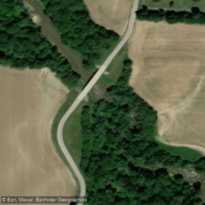
Albany Access
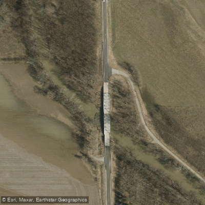
Redkey Access
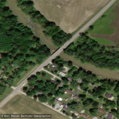
State Road 67 Access
South K Street Access
Paddle smarter with real-time insights
Whether you're en route and conditions shift or you're looking for the best spot based on current flows, we enable you to make informed decisions on the fly.








Find Places to Paddle

Over 400,000 Places to Paddle
Every user gets free access to launch points, boat ramps, and public property parcels.


Water and weather conditions (10 day forecast)
See the best times to paddle Mississinewa River and check the forecast before you go.
MISSISSINEWA RIVER AT RIDGEVILLE, IN
All Flow Stations
Paddling near Mississinewa River

White River
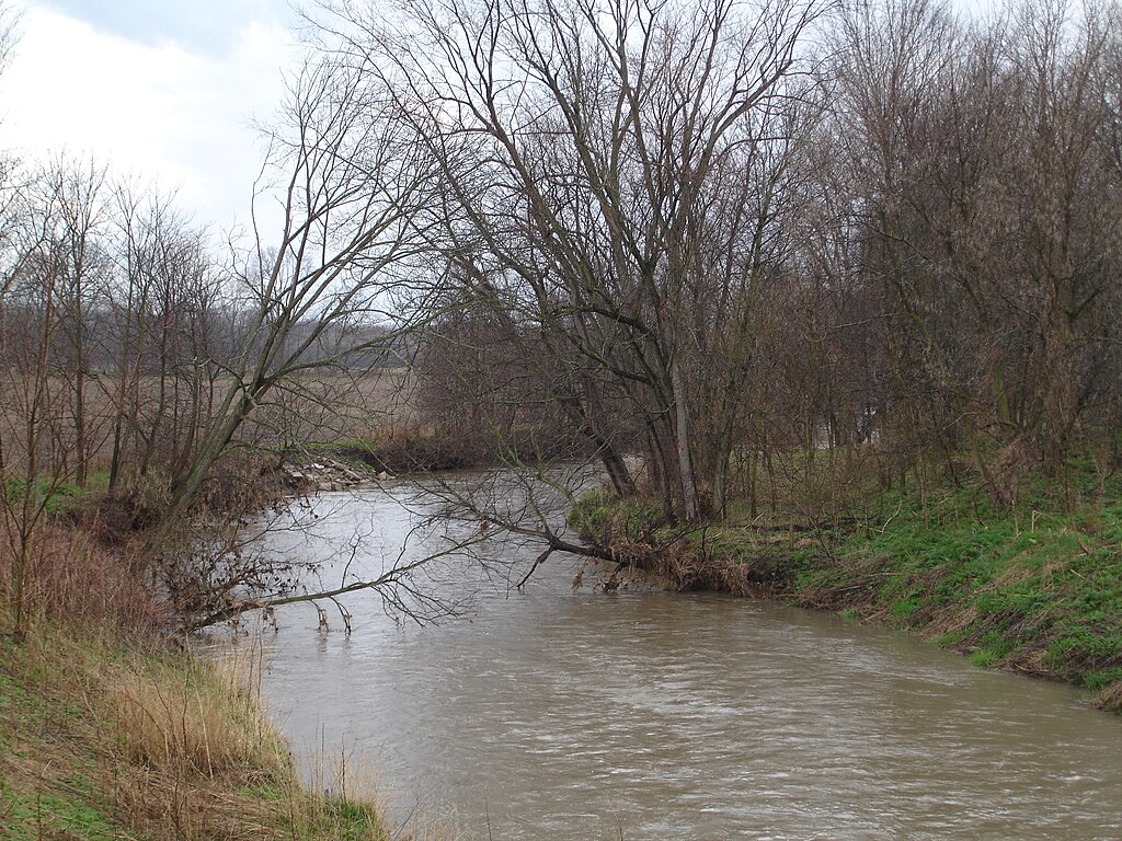
Big Blue River
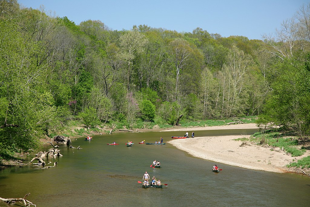
Sugar Creek
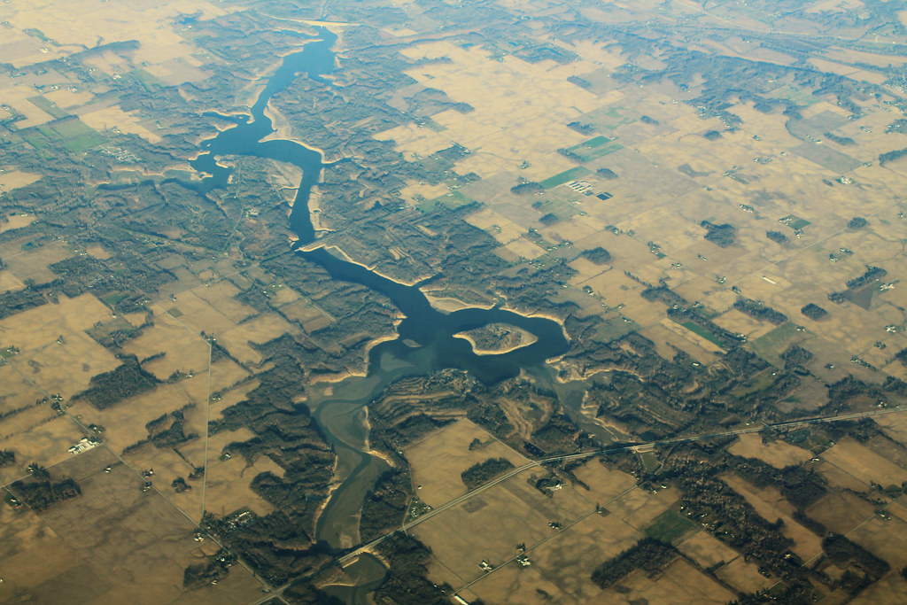
Salamonie Lake
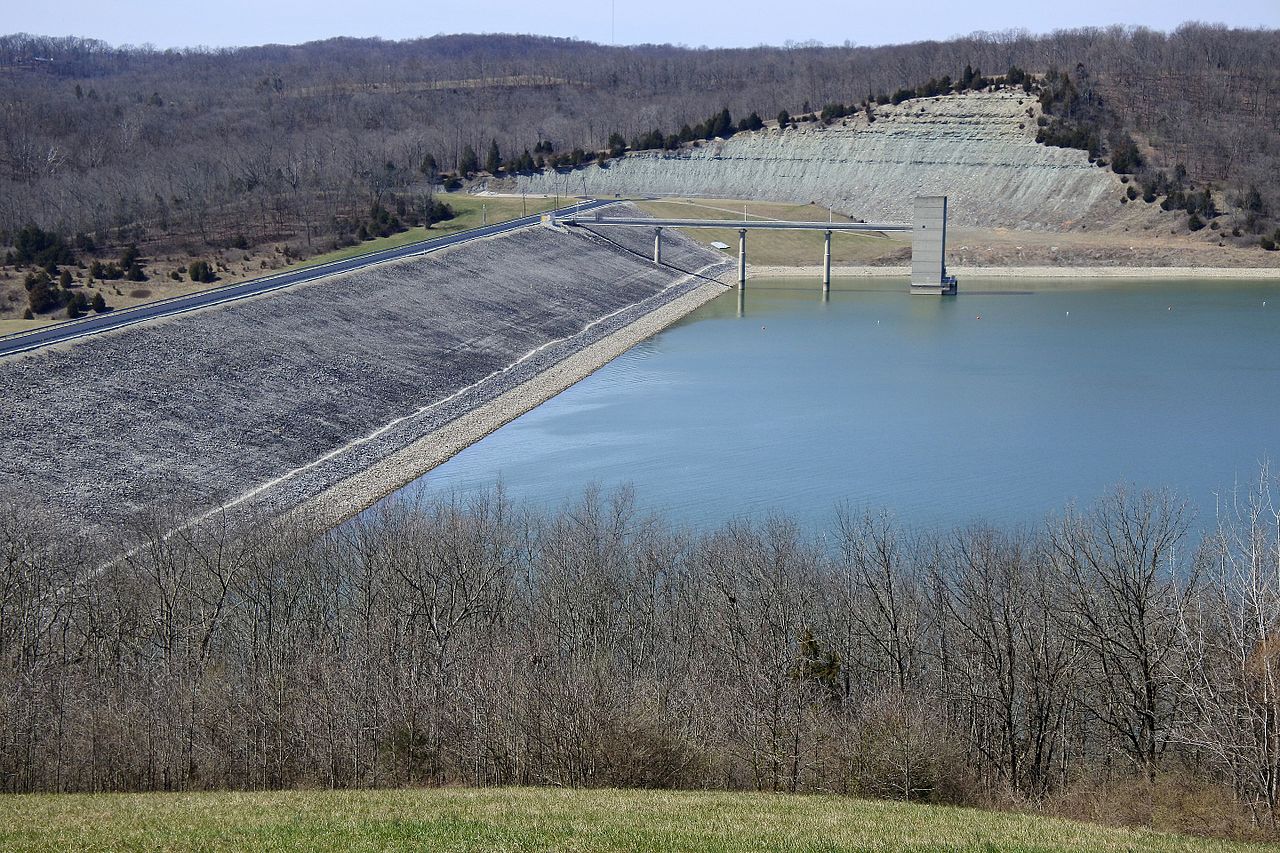
Brookville Lake
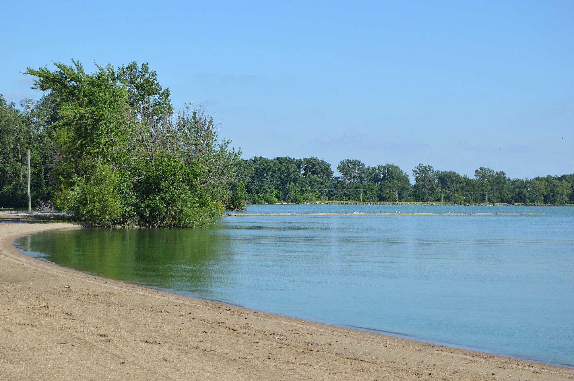
Grand Lake
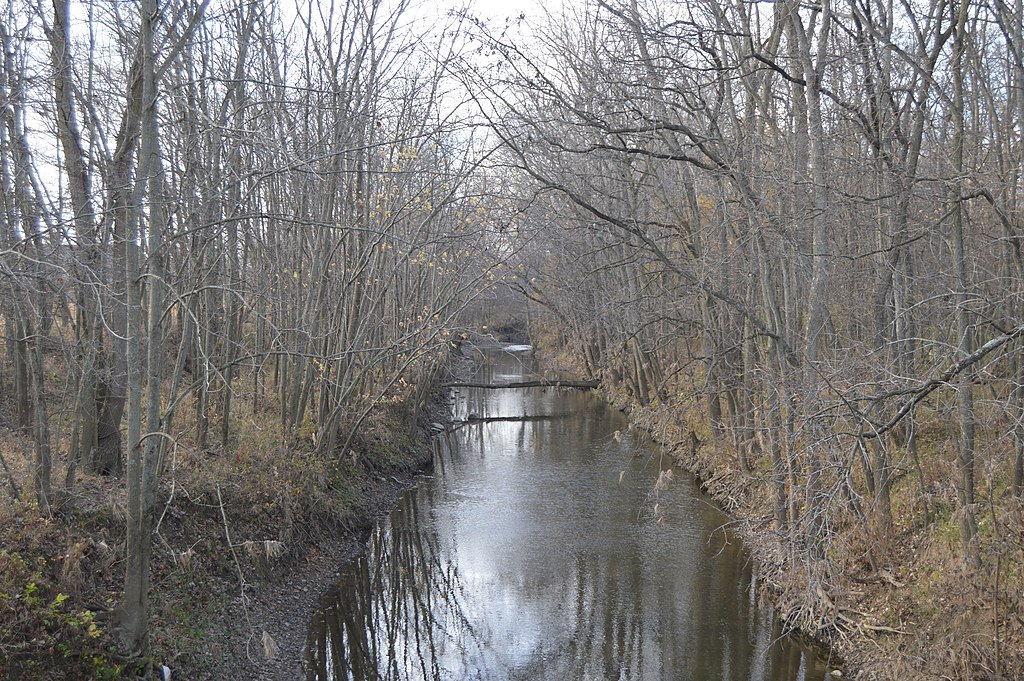
Stillwater River
Summit Lake Reservoir
Flatrock River
Explore Indiana waters
Top paddling waters
Popular Cities
Loading popular cities...
Explore near Mississinewa River
Access points
Nearby waters
More in Indiana

Smarter Paddling Starts in the App.
Paddleways gives you everything you need to plan smarter, paddle better, and own every trip from first launch to takeout.