Chase County State Lake
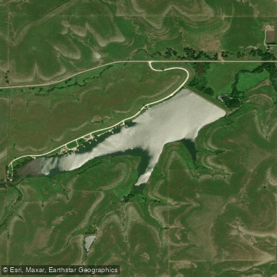
Chase County State Lake
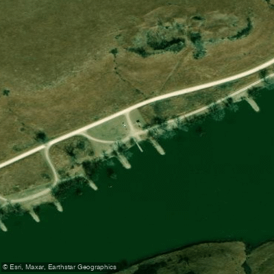
- Boat Ramps
- 1
- Access Points
- 1
- Campsites
- 0
Chase County State Lake encompasses 109 acres in the scenic Flint Hills region of Kansas, located 1.5 miles west of Cottonwood Falls. Created in 1954 by damming Prather Creek, the lake features a rocky shoreline with shallow mudflats on its upper end. The lake reaches a maximum depth of 45 feet and typically maintains good water clarity.
The lake includes a boat launch and eight rocky fishing jetties along the shore. While primarily managed for fishing, the lake's characteristics make it suitable for small watercraft. The surrounding 383-acre wildlife area consists mainly of native grass prairie habitat, offering paddlers views of diverse wildflowers and the distinctive Flint Hills landscape.
A notable feature is Prather Creek Falls (also known as Chase Lake Falls), a 40-foot waterfall below the dam that paddlers can explore after taking out. Water flow varies significantly depending on conditions. Wildlife viewing opportunities include bald eagles, ospreys, and great blue herons.
Basic amenities include primitive camping areas along the north shore (first-come, first-served), a covered picnic shelter, and vault toilets. No drinking water or electricity is available.
Important Note: The lake has been designated as zebra mussel-infested since 2012. All watercraft must be thoroughly cleaned, drained, and dried between uses to prevent spreading these invasive mussels. Livewells and bilges must be drained before transport on public highways.
The lake is managed by the Kansas Department of Wildlife and Parks, and the surrounding property offers additional recreational opportunities including hiking and wildlife observation. The lake's position in the Flint Hills provides a backdrop of rolling prairie and native grasslands characteristic of this unique region of Kansas.
Water access, boat ramps & amenities
Learn how to get on Chase County State Lake. Uncover great paddling access points, boat ramps, and all the facilities you need for an unforgettable day on the water. Some locations shown may border or include private property. Always check property boundaries and applicable regulations before visiting. PaddleWays's Public & Private Land layer can help you plan your access with confidence.
Paddle smarter with real-time insights
Whether you're en route and conditions shift or you're looking for the best spot based on current flows, we enable you to make informed decisions on the fly.








Find Places to Paddle

Over 400,000 Places to Paddle
Every user gets free access to launch points, boat ramps, and public property parcels.


Water and weather conditions (10 day forecast)
See the best times to paddle Chase County State Lake and check the forecast before you go.
No forecast data available.
Paddling near Chase County State Lake
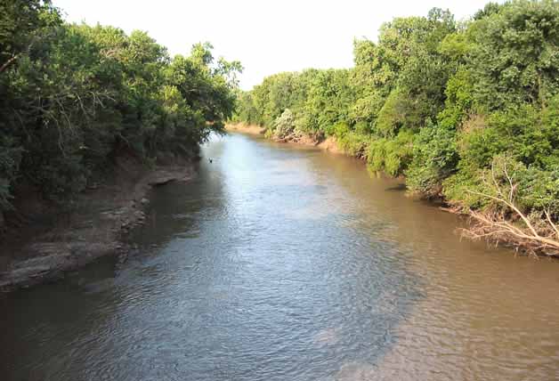
Neosho River
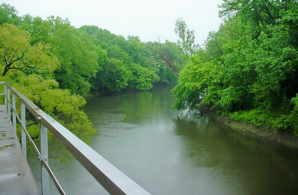
Verdigris River
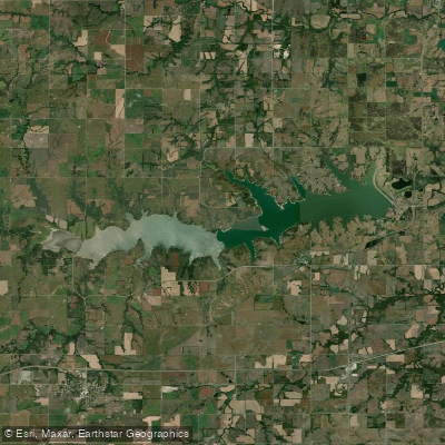
Marais des Cygnes River
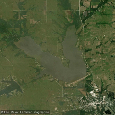
Melvern Lake
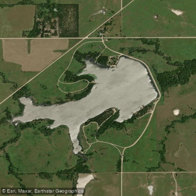
Council Grove Lake
Lyon County State Lake

John Redmond Reservoir
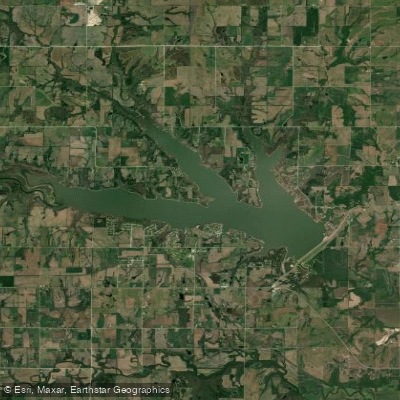
Pomona Lake
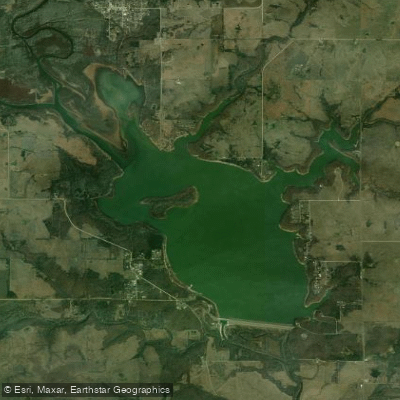
Toronto Lake
Explore Kansas waters
Top paddling waters
Popular Cities
Loading popular cities...
Explore near Chase County State Lake
Access points
Nearby waters
More in Kansas

Smarter Paddling Starts in the App.
Paddleways gives you everything you need to plan smarter, paddle better, and own every trip from first launch to takeout.