Clark County State Lake
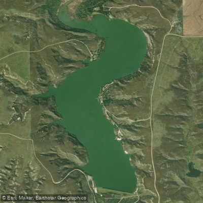
Clark County State Lake
- Boat Ramps
- 4
- Access Points
- 4
- Campsites
- 0
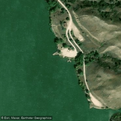
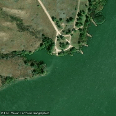
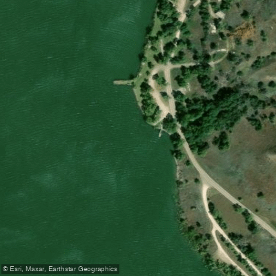
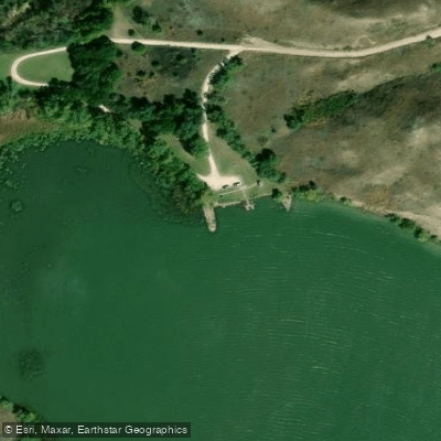
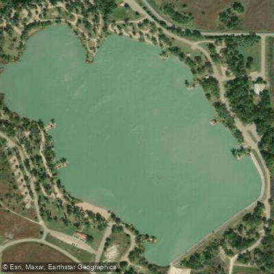
Clark County State Lake encompasses 300 acres in southwest Kansas, situated within a dramatic canyon setting carved by Bluff Creek. The lake reaches a maximum depth of 42 feet, with an average depth of 17 feet. Four boat ramps with courtesy docks provide well-distributed access points around the lake, all featuring restroom facilities and parking areas. These include the North, South, Middle, and Bloom Cove ramps, with several being ADA accessible.
The landscape showcases distinctive geological features, including exposed layers of the Ogallala Formation, Cretaceous shales, and Permian red beds. The lake is surrounded by 900 acres of public land, offering an expansive backdrop for paddling. Multiple primitive camping areas dot the shoreline at the south end, east shore, north end, and Bloom Cove, providing convenient options for multi-day trips.
Boats are restricted to fishing purposes only, which helps maintain a peaceful atmosphere for paddlers. A scenic overlook on the eastern shore offers dramatic views of the canyon country setting. The lake's clear waters reflect the surrounding rock formations, making this one of the more visually distinctive paddling destinations in Kansas.
The surrounding wildlife area creates opportunities for wildlife viewing while on the water. Several primitive camping and day-use areas along the shoreline allow paddlers to take breaks or plan longer stays. These areas include the Southend, East shore, Northend, and Bloom Cove locations, with some offering ADA accessibility.
Access to the lake is available through three entrance points: the northeast entrance off State Highway 94, plus northwest and southwest entrances via county gravel roads. The lake is located 8.5 miles south and 1 mile west of Kingsdown, Kansas.
Water access, boat ramps & amenities
Learn how to get on Clark County State Lake. Uncover great paddling access points, boat ramps, and all the facilities you need for an unforgettable day on the water. Some locations shown may border or include private property. Always check property boundaries and applicable regulations before visiting. PaddleWays's Public & Private Land layer can help you plan your access with confidence.
Paddle smarter with real-time insights
Whether you're en route and conditions shift or you're looking for the best spot based on current flows, we enable you to make informed decisions on the fly.








Find Places to Paddle

Over 400,000 Places to Paddle
Every user gets free access to launch points, boat ramps, and public property parcels.


Water and weather conditions (10 day forecast)
See the best times to paddle Clark County State Lake and check the forecast before you go.
No forecast data available.
Paddling near Clark County State Lake

Explore Kansas waters
Top paddling waters
Popular Cities
Loading popular cities...
Explore near Clark County State Lake
Access points
Nearby waters
More in Kansas

Smarter Paddling Starts in the App.
Paddleways gives you everything you need to plan smarter, paddle better, and own every trip from first launch to takeout.