Cap Mauzy Lake
Cap Mauzy Lake
- Boat Ramps
- 1
- Access Points
- 2
- Campsites
- 0
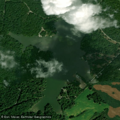
Cap Mauzy Lake is an 80-acre impoundment within the Higginson-Henry Wildlife Management Area in western Kentucky. The lake features flatwater paddling conditions with a boat dock providing easy access for kayaks and canoes. A 10-horsepower motor limit helps maintain the quiet atmosphere and ensures paddler safety.
The shoreline consists primarily of mud flats interspersed with numerous downed trees and stump beds, while the surrounding area features wooded terrain crossed by gravel roads and horse trails. A large area of rip rap is located along the levee on one side of the lake. The lake's relatively small size and motor restrictions make it ideal for relaxed paddling excursions.
Wildlife viewing opportunities abound, with various bird species including herons and ducks frequently visible. The lake supports populations of bass, crappie, and channel catfish, making it possible to combine paddling with fishing. The best fishing spots are typically found near submerged trees or about 15-20 feet out from the levee.
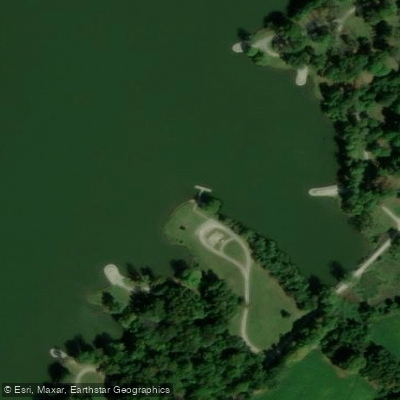
Primitive camping is permitted along the lakeshore with no fees or permits required. Campsites are informal clearings accessible from the gravel road that follows much of the shoreline. The site offers truly primitive conditions with no potable water or electricity available. A basic portable toilet is located off the main gravel road.
To access the lake, take U.S. Highway 60 west to Morganfield, then left at the second stoplight onto Highway 56 East. After approximately 10 miles, look for the Lake Mauzy sign on the right, then turn right at the next road about 50 feet from the sign.
The lake is part of what was historically the Richards family farm dating back to 1800, before becoming part of Camp Breckinridge Military Reservation during World War II. It was later named in memory of Caspian "Cap" W. Mauzy, a Conservation Education Supervisor and Conservation Officer who served in Union County.
Water access, boat ramps & amenities
Learn how to get on Cap Mauzy Lake. Uncover great paddling access points, boat ramps, and all the facilities you need for an unforgettable day on the water. Some locations shown may border or include private property. Always check property boundaries and applicable regulations before visiting. PaddleWays's Public & Private Land layer can help you plan your access with confidence.
Paddle smarter with real-time insights
Whether you're en route and conditions shift or you're looking for the best spot based on current flows, we enable you to make informed decisions on the fly.








Find Places to Paddle

Over 400,000 Places to Paddle
Every user gets free access to launch points, boat ramps, and public property parcels.


Water and weather conditions (10 day forecast)
See the best times to paddle Cap Mauzy Lake and check the forecast before you go.
No forecast data available.
Paddling near Cap Mauzy Lake

Ohio River
Green River

White River
Rough River
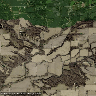
Wabash River
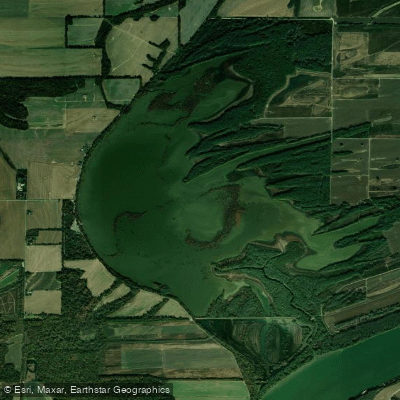
Hovey Lake
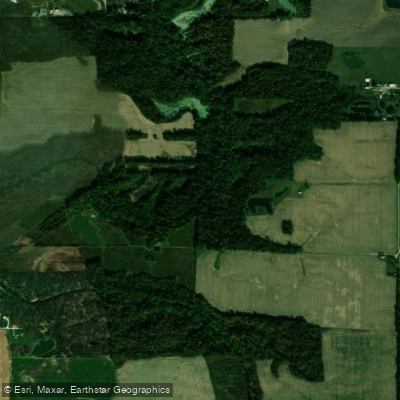
Little Pigeon Creek
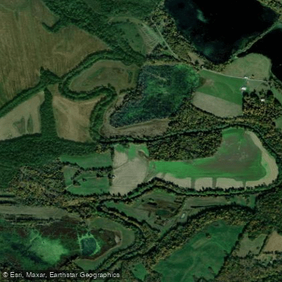
Tradewater River
Highland Creek
Explore Kentucky waters
Top paddling waters
Popular Cities
Loading popular cities...
Explore near Cap Mauzy Lake
Access points
Nearby waters
More in Kentucky

Smarter Paddling Starts in the App.
Paddleways gives you everything you need to plan smarter, paddle better, and own every trip from first launch to takeout.