Paddling in Kentucky
- Lakes
- 412
- Rivers
- 12,051
- Access
- 287
- Boat Ramps
- 894
- Shops
- 5
Kentucky is a canoe state with a serious whitewater secret.
Most of the year, most of the commonwealth, paddling here means flatwater touring through limestone country — pool-and-lock rivers, karst bluffs, and more navigable miles than any lower-48 state outside Alaska.
Then October arrives in the eastern mountains and the Russell Fork turns into one of the harder runs in the East. That October scene is the loud part.
Four weekends of upstream dam releases push the Breaks Canyon into Class V territory — El Horrendo, Tower Falls, Triple Drop — with a gradient near 180 feet per mile and a put-in that involves walking the railroad tracks out of Elkhorn City through long tunnels with a flashlight in your PFD.
It's expert-only in the gorge; four rapids in there have killed people, and the take-out at the Rat Hole isn't optional. Kentucky Whitewater runs commercial trips on the upper and lower sections, where things mellow toward Class IV and below.
The rest of the year the river settles into something more reasonable, with the Bartlick gauge as your reference. The rest of the state's whitewater lives on rain.
The Rockcastle Narrows, deep in Daniel Boone National Forest, threads house-sized sandstone boulders at Class III–IV — Beech Narrows is undercut and worth the portage.
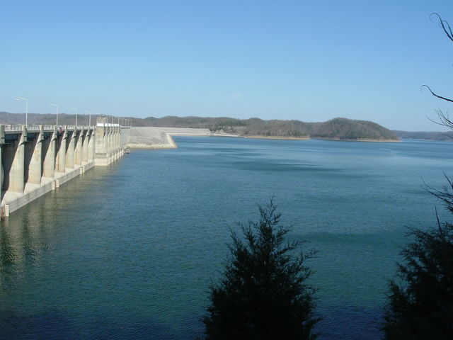
The Cumberland Falls run below the "Niagara of the South" is one of the few exceptions to rain dependence: Wolf Creek Dam keeps it going May through September, though you want fall lake drawdown before the lower rapids vanish under Lake Cumberland's backwater.
Elkhorn Creek's Gorge section, forty-five minutes from Lexington and launching just below the Jim Beam dam, holds water well after rain and serves as the regional training ground from March through Labor Day.
But the deeper Kentucky paddling tradition is the canoe trip.
The Green River through Mammoth Cave is the one to know — a couple of unhurried days from Dennison or Green River Ferry down to Houchins, past river caves and karst bluffs, on water that holds 150-plus fish species and 71 mussels.
PFDs stay on inside the park, the backcountry permit is free through Recreation. gov, and since the 2016 removal of Lock and Dam No. 6 the river runs livelier and rises hard after rain.
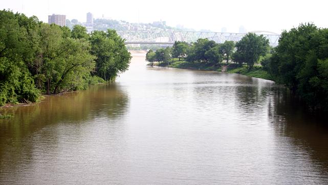
The Kentucky River Water Trail stitches together 256 miles of pool-and-lock flatwater past the Palisades cliffs, with Kentucky Riverkeeper still building portages around the fourteen dams.
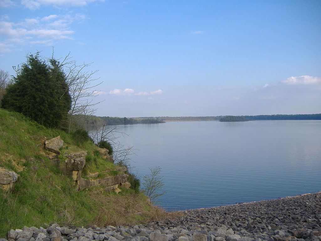
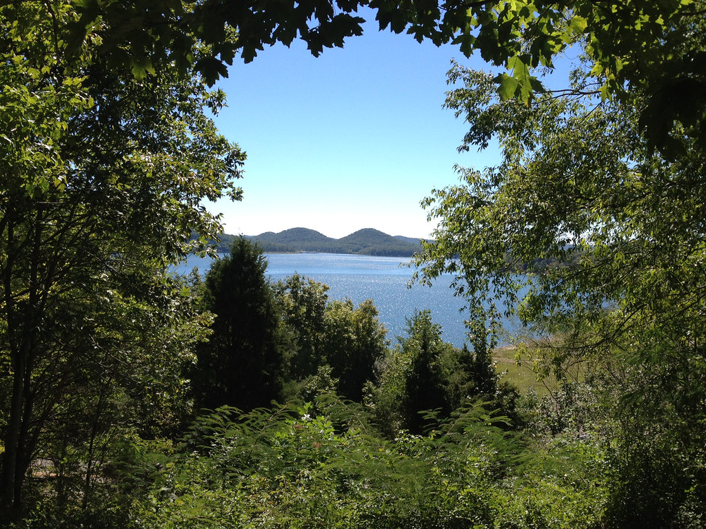
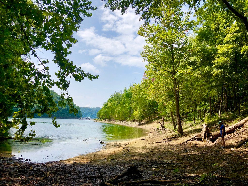
Out west, Land Between the Lakes gives you 300 miles of undeveloped shoreline and five posted water trails across Kentucky Lake and Lake Barkley.
The connective tissue is the KDFWR Blue Water Trails program — thirty-plus profiled floats with low-head dams marked, which matters more than it sounds, because Kentucky's gentle rivers run through working country and the dams are real.
Canoe Kentucky in Frankfort will rent you a boat and, if you want, paddle you past Buffalo Trace. That's the state in one sentence: limestone, bourbon, and a Class V canyon hiding up in the hollers come October.
Paddle smarter with real-time insights
Whether you're en route and conditions shift or you're looking for the best spot based on current flows, we enable you to make informed decisions on the fly.







Kentucky licenses and regulations
National parks in Kentucky
Explore Kentucky waters
Top paddling waters
Popular Cities
Loading popular cities...

Smarter Paddling Starts in the App.
Paddleways gives you everything you need to plan smarter, paddle better, and own every trip from first launch to takeout.