Rough River Lake
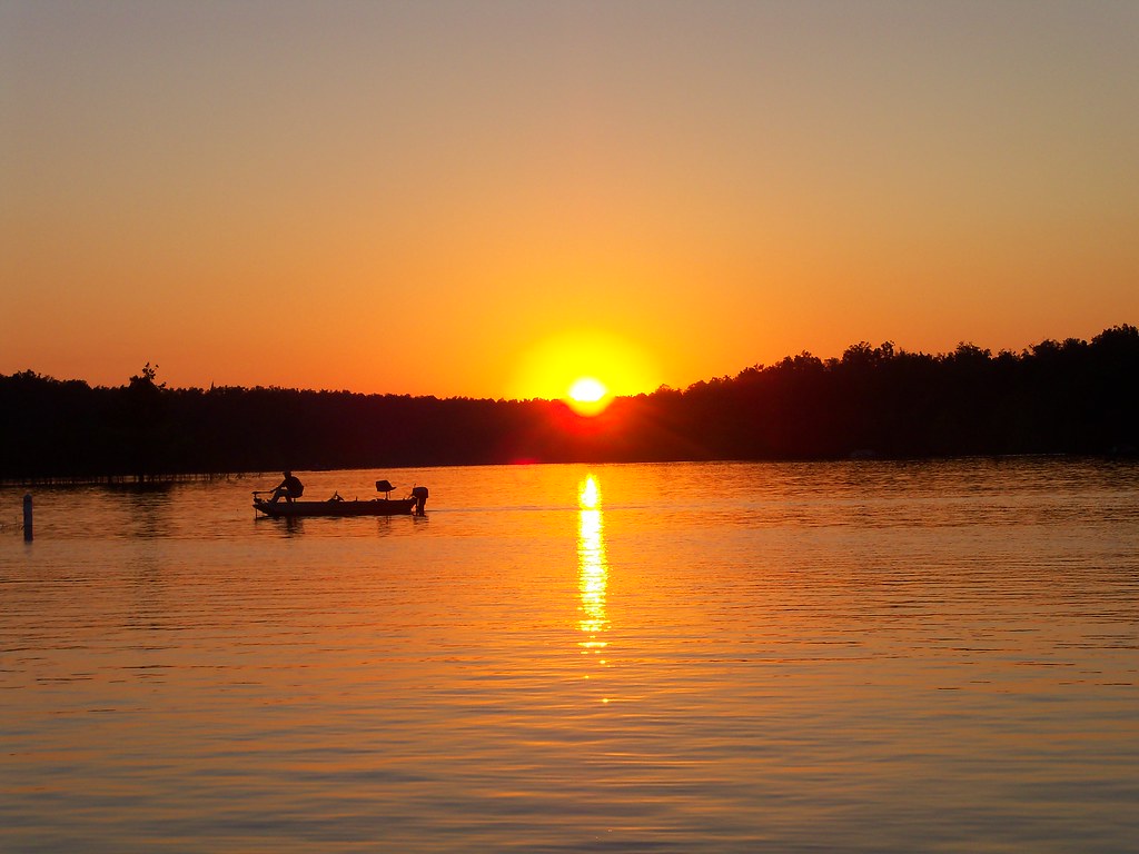
Rough River Lake
- Boat Ramps
- 19
- Access Points
- 22
- Campsites
- 9
Rough River Lake is a 5,100-acre reservoir located in Breckinridge, Hardin, and Grayson counties in south central Kentucky, approximately 95 miles southwest of Louisville. The lake offers diverse paddling experiences, from calm waters suitable for beginners to more challenging areas for intermediate and advanced kayakers.
Multiple boat ramps and access points are available around the lake, including at Axtel, Eveleigh, Cave Creek, Laurel Branch, and North Fork. The lake's extensive shoreline, stretching over 250 miles, provides ample opportunities for exploration. Paddlers can enjoy views of rolling hills, dense forests, and limestone outcroppings.
Wildlife viewing is a highlight, with opportunities to spot white-tailed deer, wild turkeys, blue herons, and various fish species. The lake is known for its populations of largemouth bass, crappie, catfish, and hybrid striped bass. Fishing from kayaks is popular, especially in spring and fall when fish are in shallower waters.
Facilities for paddlers include marinas, campgrounds, picnic areas, and hiking trails. The Rough River Dam State Resort Park offers additional amenities and lodging options. No motors are allowed on certain parts of the lake, ensuring a peaceful paddling experience.
Water conditions can vary seasonally, with potential for higher water levels and stronger currents in spring. Summer typically offers calmer conditions ideal for leisurely paddling. Fall provides scenic foliage views. Paddlers should always check current water levels and conditions before launching.
The lake's creation is tied to flood control efforts, and the nearby historic Green Farm offers a glimpse into the area's past. Paddlers should be aware of potential hazards such as submerged trees or debris, especially after heavy rains. Life jackets are required for all boaters.
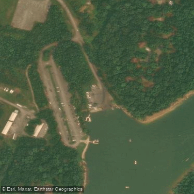
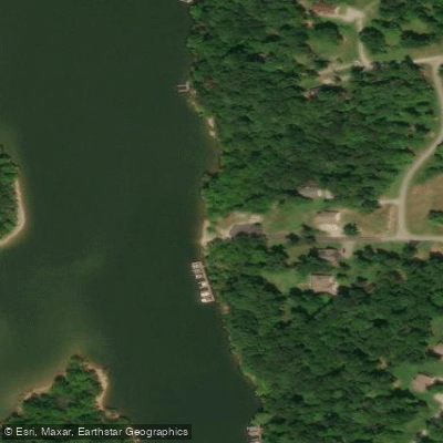
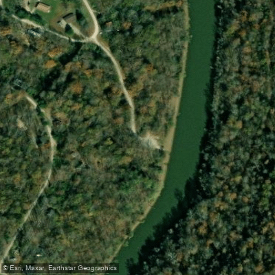
Water access, boat ramps & amenities
Learn how to get on Rough River Lake. Uncover great paddling access points, boat ramps, and all the facilities you need for an unforgettable day on the water. Some locations shown may border or include private property. Always check property boundaries and applicable regulations before visiting. PaddleWays's Public & Private Land layer can help you plan your access with confidence.
Paddle smarter with real-time insights
Whether you're en route and conditions shift or you're looking for the best spot based on current flows, we enable you to make informed decisions on the fly.








Find Places to Paddle

Over 400,000 Places to Paddle
Every user gets free access to launch points, boat ramps, and public property parcels.


Water and weather conditions (10 day forecast)
See the best times to paddle Rough River Lake and check the forecast before you go.
RRD PZ60 Rough River Dam Tail2-205
All Flow Stations
Paddling near Rough River Lake
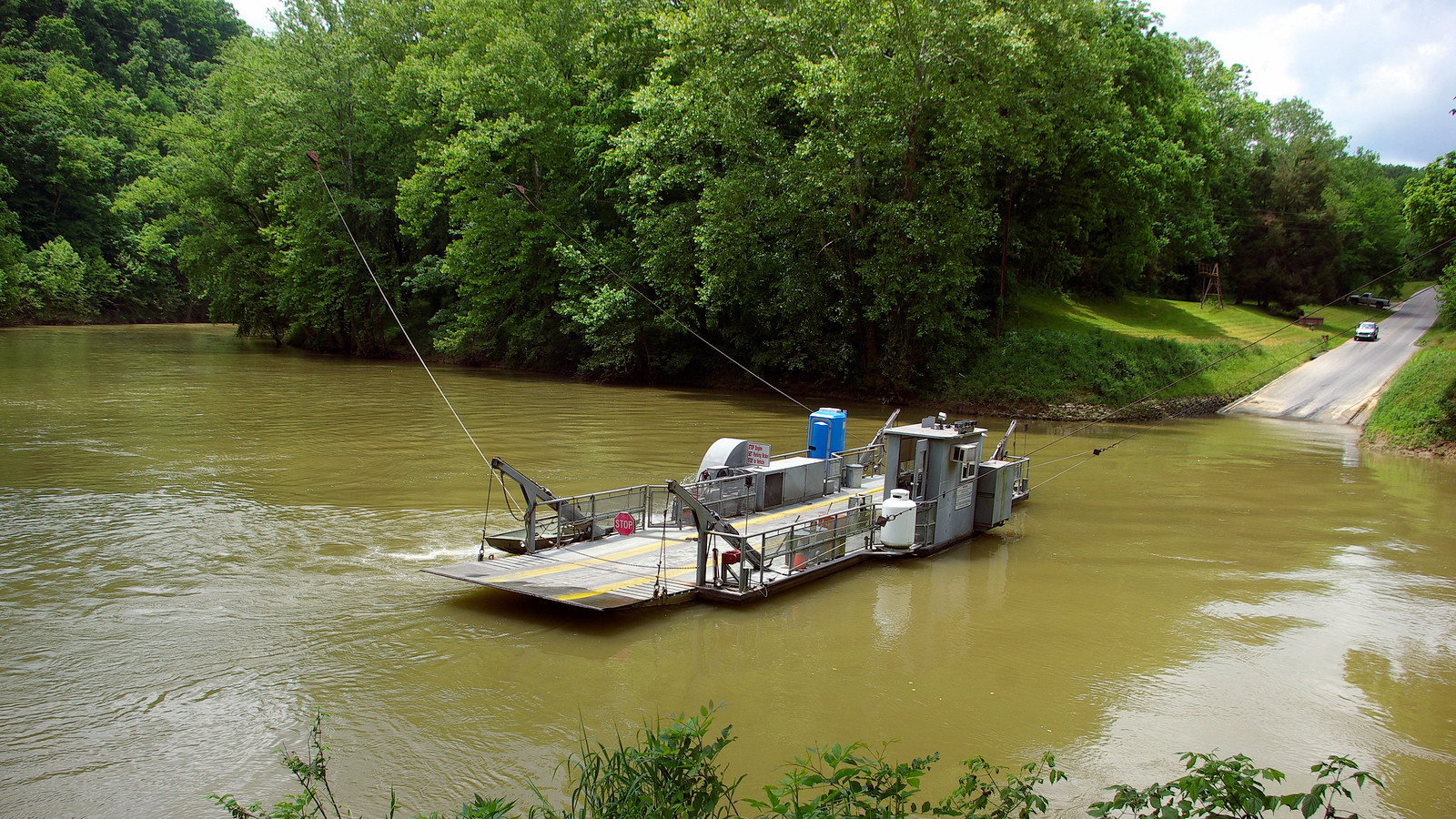
Green River
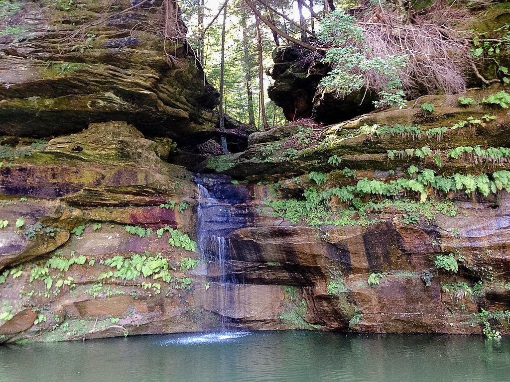
Nolin River
Barren River
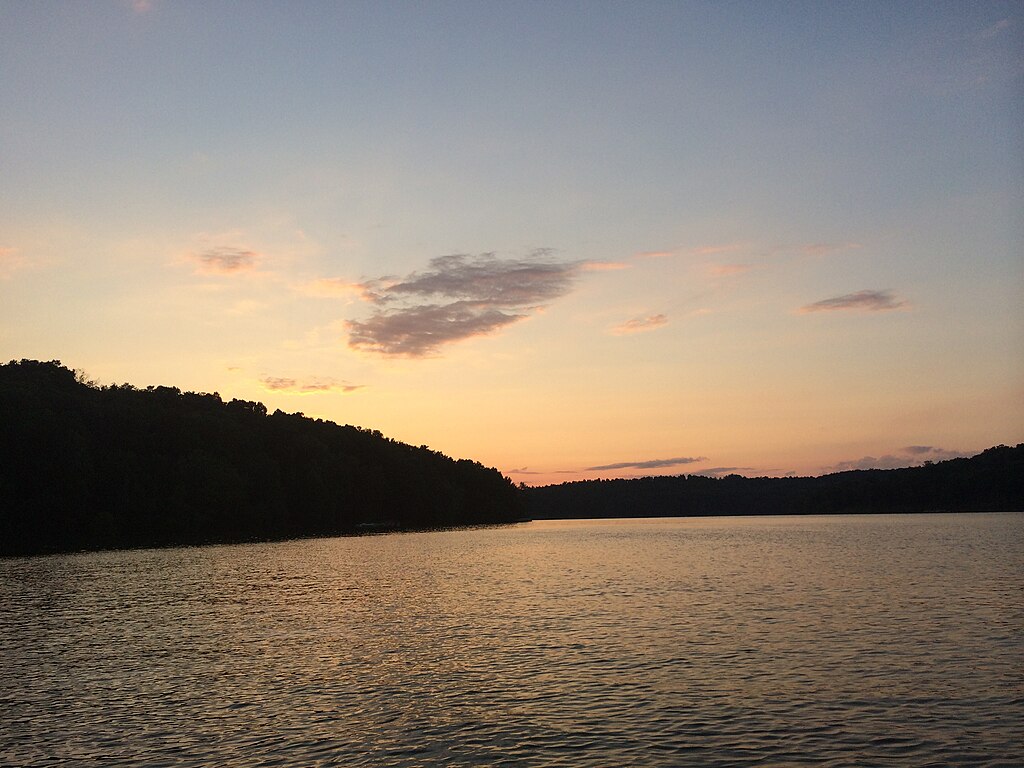
Nolin Lake
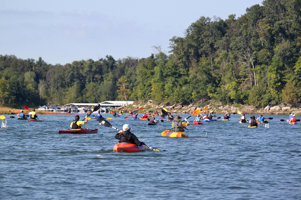
Rough River
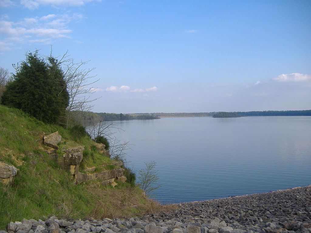
Barren River Lake

Ohio River
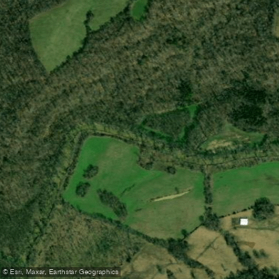
Bear Creek
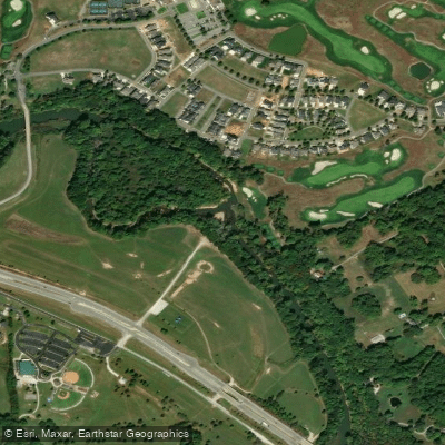
Drakes Creek
Explore Kentucky waters
Top paddling waters
Popular Cities
Loading popular cities...
Explore near Rough River Lake
Access points
Nearby waters
More in Kentucky

Smarter Paddling Starts in the App.
Paddleways gives you everything you need to plan smarter, paddle better, and own every trip from first launch to takeout.