Taylorsville Lake
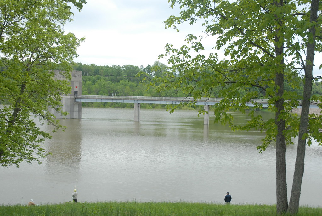
Taylorsville Lake
- Boat Ramps
- 4
- Access Points
- 4
- Campsites
- 2
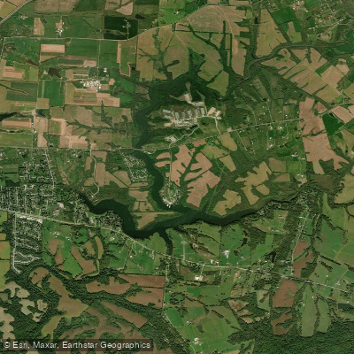
Taylorsville Lake is a man-made lake in north central Kentucky, offering paddlers a scenic 13-mile long waterway to explore. The lake features five main boat ramps, with four on the lake itself and one downstream of the dam, providing multiple access points for paddlers. The lake's narrow width creates favorable paddling conditions in most weather.
Wildlife enthusiasts will appreciate the abundance of animals in the area. Otters, reintroduced to the lake, can be spotted in the hollers created by small creek tributaries and even out on the main lake. Bald eagles nest near the shoreline in several locations.
Below the dam, paddlers can explore the Tailwaters area, which follows the old Salt River channel. This section is notable for its tree canopy, providing a cooler paddling experience during hot summer days.
The lake offers varied paddling options suitable for different skill levels. Its 13-mile length makes it possible to paddle the entire lake in a day, weather permitting. The area below Taylorsville Dam becomes wider and slower, ideal for beginner paddlers.
Facilities for paddlers include a large marina at the Settlers Trace boat ramp area. Taylorsville State Park, located at the main entrance, provides camping facilities. Additional accommodations such as hotels and cabins are available nearby.
Paddlers will appreciate that there are no fees for using the boat ramps. The lake's location is easily accessible from major highways, with clear signage guiding visitors from Louisville via I-65, I-264, I-71, and I-64.
For more information or assistance, paddlers can contact Taylorsville State Park in Taylorsville, KY.
Water access, boat ramps & amenities
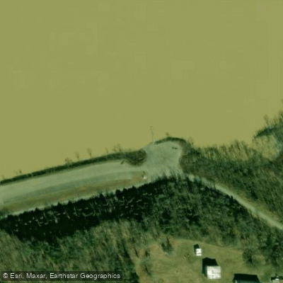
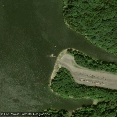
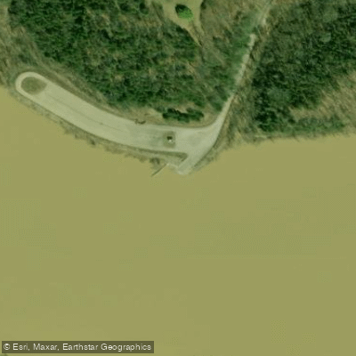
Learn how to get on Taylorsville Lake. Uncover great paddling access points, boat ramps, and all the facilities you need for an unforgettable day on the water. Some locations shown may border or include private property. Always check property boundaries and applicable regulations before visiting. PaddleWays's Public & Private Land layer can help you plan your access with confidence.
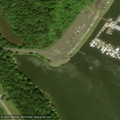
Paddle smarter with real-time insights
Whether you're en route and conditions shift or you're looking for the best spot based on current flows, we enable you to make informed decisions on the fly.








Find Places to Paddle

Over 400,000 Places to Paddle
Every user gets free access to launch points, boat ramps, and public property parcels.


Water and weather conditions (10 day forecast)
See the best times to paddle Taylorsville Lake and check the forecast before you go.
No forecast data available.
Paddling near Taylorsville Lake
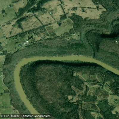
Kentucky River
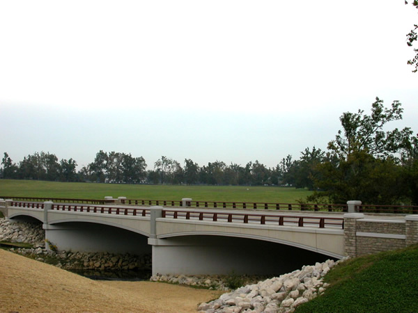
North Elkhorn Creek
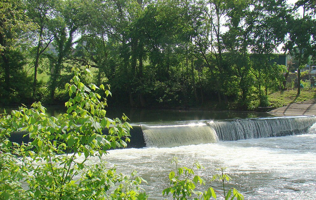
Elkhorn Creek
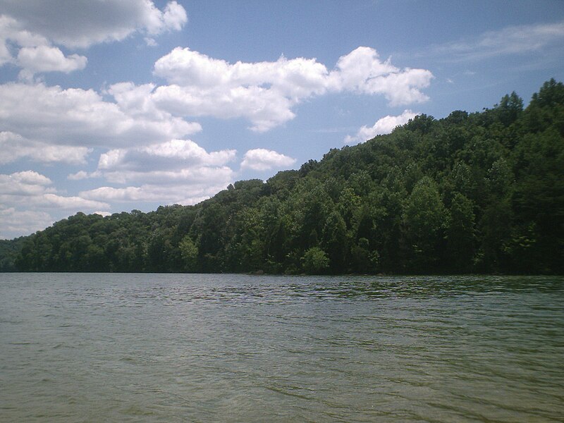
Herrington Lake

Ohio River
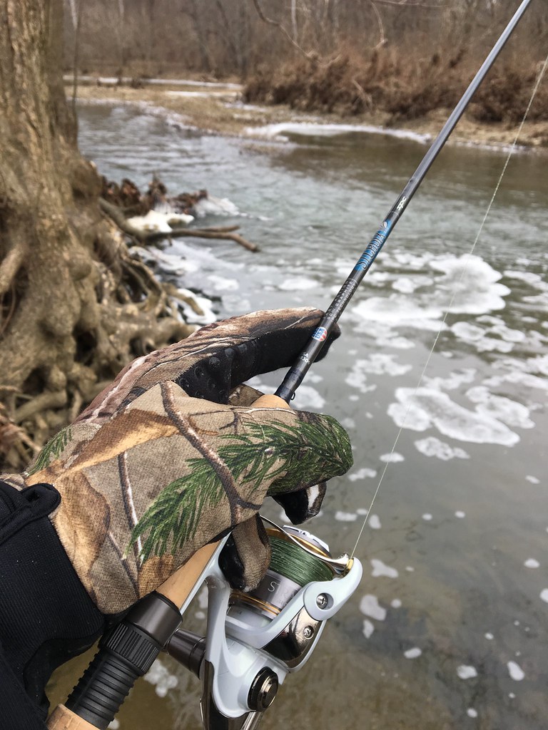
Floyds Fork
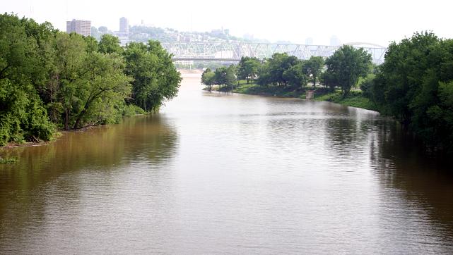
Licking River
Salt River
Guist Creek Lake
Explore Kentucky waters
Top paddling waters
Popular Cities
Loading popular cities...
Explore near Taylorsville Lake
Access points
Nearby waters
More in Kentucky

Smarter Paddling Starts in the App.
Paddleways gives you everything you need to plan smarter, paddle better, and own every trip from first launch to takeout.