Curated by PaddleWays
RouteFlatwater
- Distance
- 13.4 mi
- Paddle time
- ~4.5 hrs
- Best for
- Beginners
- Put-in → take-out
- Mermantau Boat Ramp → Highway 14 Bridge Boat Ramp
Strong headwinds and more boat traffic on Mermentau
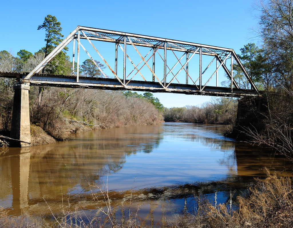
The Mermentau River is a significant waterway in southern Louisiana, originating just north of Oakdale and Ville Platte and flowing southward to empty into the Gulf of Mexico. This river system drains a substantial portion of southwestern Louisiana, creating a unique ecosystem that transitions from freshwater to brackish environments as it approaches the coast.
For paddlers, the Mermentau offers two primary sections of interest. The Lower Mermentau River stretch, starting from the town of Mermentau, provides a longer 40-mile journey through cypress-lined banks and bayous. For those seeking a shorter excursion, the Lower Mermentau River to Gulf section offers a 15-mile paddle from the Mermentau Boat Ramp to where the river meets the Gulf.
The river is characterized by flatwater conditions, making it suitable for paddlers of various skill levels. However, as the lower reaches mix with Gulf waters, paddlers should be prepared for potential tidal influences and wind-driven waves.
Spring and fall are ideal paddling seasons, offering milder temperatures and lower humidity. Summer can be hot and humid but provides excellent fishing opportunities, particularly for redfish in June when blue crab is the bait of choice.
The Mermentau's ecosystem supports a diverse array of wildlife. Paddlers may encounter alligators, various waterfowl, and fish species including bass and speckled trout. The surrounding landscape features cypress trees, creating a classic Louisiana bayou atmosphere.
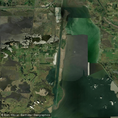
Key points of interest include the Mermentau River Jetties, where the river meets the Gulf, offering a unique mixing of fresh and saltwater environments. For those extending their journey, Rutherford Beach lies about 9 miles west along the coast from the river's outlet.
Access points are available in several locations, with the town of Mermentau serving as a primary put-in for longer trips. The Mermentau Boat Ramp provides convenient access for shorter excursions to the Gulf.
Historically, the Mermentau Basin has been crucial for agriculture, with a system of locks and control structures maintaining a freshwater reservoir while protecting against saltwater intrusion. This delicate balance between human use and natural processes continues to shape the river's character.
Safety considerations include being aware of boat traffic, especially near the Gulf, and monitoring weather conditions. Paddlers should also be prepared for limited cell phone coverage in some areas.
For multi-day trips, paddlers can explore the full length of the Lower Mermentau, camping along the banks or arranging stays in nearby communities. This allows for a comprehensive experience of the river's changing character from inland waters to coastal estuary.
Curated routes
Hand-picked by the PaddleWays team, with put-ins, take-outs, paddle times and the hazards along the way.
RouteFlatwater
Hazards
No hazards are marked on Mermentau River yet. That is not the same as none being there: if you find one, report it for the next paddler.
From the community
Nobody has shared a trip on Mermentau River yet. Paddle it, then tell the next paddler how it went.
See exactly where the public can get on and off the river. Launch points and boat ramps are paired with PaddleWays' public land data so you know where you can legally land.
Public shoreline
0%of the river's shoreline is public
Most of the riverbank is private. Launch, land and camp only at public access points.
Flows, weather and a route-by-route verdict, so you know which stretch of the Mermentau River is worth paddling today.
All Flow Stations
Live flows, marked hazards and fresh trip reports from paddlers who were just on the water, all in one place.





Every user gets free access to launch points, boat ramps, and public property parcels.
Loading popular cities...
PaddleWays gives you everything you need to plan smarter, paddle better, and own every trip from first launch to takeout.