Ouachita River
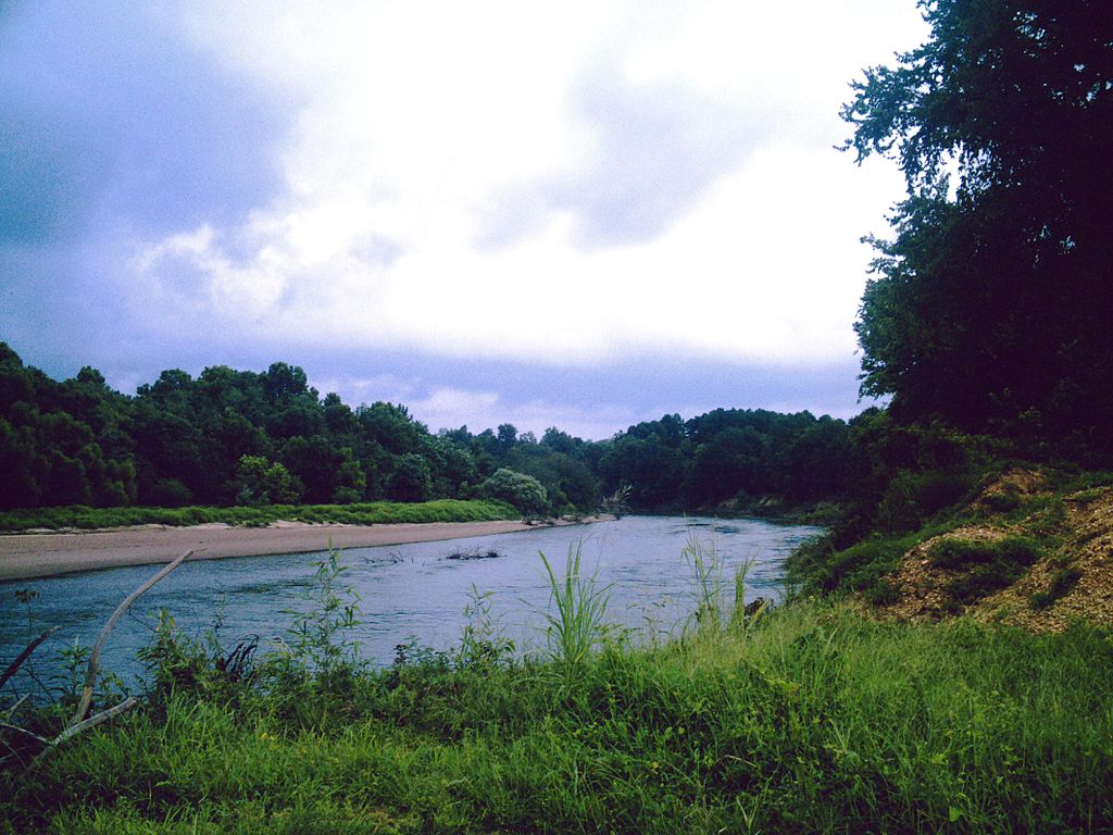
Ouachita River
- Boat Ramps
- 37
- Access Points
- 44
- Campsites
- 43
The Ouachita River is a waterway that flows through Arkansas and Louisiana, offering paddlers a wide range of experiences from peaceful flatwater to exciting whitewater. Beginning in the Ouachita Mountains of western Arkansas, the river winds its way southeast for over 600 miles before joining the Black River in Louisiana.
The upper section of the Ouachita River in Arkansas provides some of the most popular paddling opportunities. From its headwaters near Rich Mountain to Lake Ouachita, paddlers can enjoy about 45 miles of free-flowing river through the picturesque Ouachita National Forest. This stretch offers a mix of Class I-II rapids, making it suitable for beginner to intermediate paddlers. The river typically flows at a gentle pace of around 2 miles per hour, allowing for a relaxed journey through the pristine natural environment.
Further downstream, the Remmel Dam to Rockport Ledge section near Malvern, Arkansas is a favorite among both novice and experienced paddlers. This 6-mile stretch features Class I-II rapids, culminating in the exciting Rockport Ledge and the Ouachita River Whitewater Park. Weekend water releases from Remmel Dam during summer months create ideal conditions for playboating and whitewater fun.
As the river continues into Louisiana, it transforms into a slower, wider waterway perfect for multi-day trips and flatwater paddling. The Ouachita River Paddle Trail, stretching 227 miles from Felsenthal Lock and Dam to the mouth of the Black River, offers paddlers an extensive network of access points and facilities for extended journeys.
The best time to paddle the Ouachita varies depending on the section. The upper reaches in Arkansas are typically most enjoyable in spring and early summer when water levels are higher. The dam-controlled sections near Malvern can be paddled throughout the summer thanks to scheduled releases. The lower river in Louisiana maintains consistent levels year-round, making it a reliable option even when other rivers run low.
Wildlife enthusiasts will find plenty to observe along the Ouachita. Bald eagles, herons, and various waterfowl are common sights. Lucky paddlers might spot alligator gar in the lower sections, while the upper river is known for its excellent fishing, particularly for smallmouth bass and, in spring, spawning white bass from Lake Ouachita.
Notable landmarks include the Rockport Ledge, a river-wide feature that creates multiple play spots for whitewater enthusiasts, and the Ouachita River Whitewater Park in Malvern. The river also passes through or near several towns that offer convenient access points and amenities, including Mount Ida, Malvern, and Camden in Arkansas, and Monroe in Louisiana.
Historically, the Ouachita River played a crucial role in the region's development, serving as a major transportation route for Native Americans and early settlers. Today, it continues to be an important resource for recreation, wildlife habitat, and water supply.
Safety considerations include being aware of water levels and release schedules, especially in dam-controlled sections. Paddlers should also be prepared for limited cell phone coverage in some remote areas of the upper river. As always, wearing a personal flotation device is essential.
For those seeking a multi-day adventure, the Ouachita River Paddle Trail in Louisiana offers ample opportunities for extended trips, with numerous camping options along its 227-mile course. This makes it an excellent choice for paddlers looking to immerse themselves in the natural beauty of the Louisiana Delta.
Whether you're seeking a thrilling whitewater run, a peaceful float through pristine forests, or an extended journey through diverse landscapes, the Ouachita River offers something for every paddler, making it a true gem of the South.
Water access, boat ramps & amenities
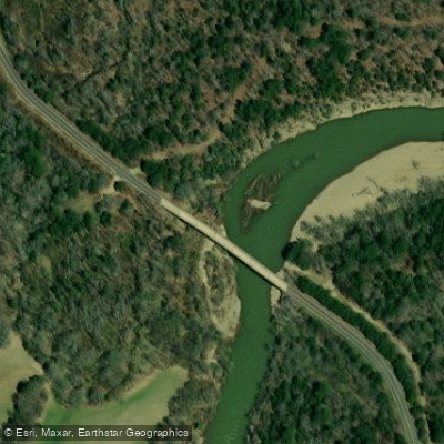
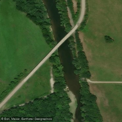
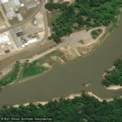
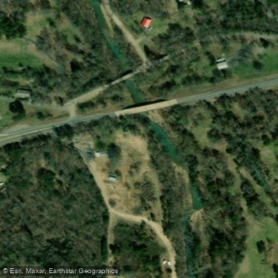
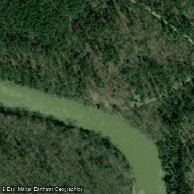
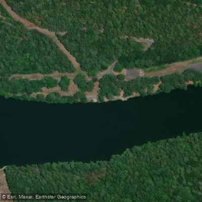
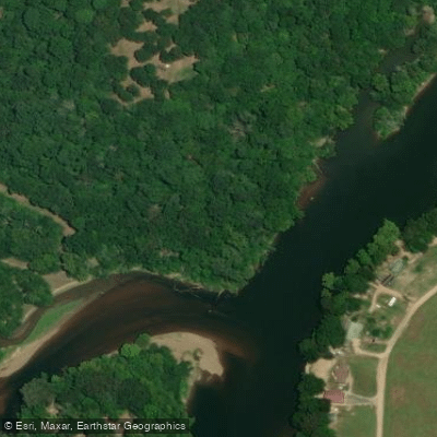
Learn how to get on Ouachita River. Uncover great paddling access points, boat ramps, and all the facilities you need for an unforgettable day on the water. Some locations shown may border or include private property. Always check property boundaries and applicable regulations before visiting. PaddleWays's Public & Private Land layer can help you plan your access with confidence.
Paddle smarter with real-time insights
Whether you're en route and conditions shift or you're looking for the best spot based on current flows, we enable you to make informed decisions on the fly.








Find Places to Paddle

Over 400,000 Places to Paddle
Every user gets free access to launch points, boat ramps, and public property parcels.


Water and weather conditions (10 day forecast)
See the best times to paddle Ouachita River and check the forecast before you go.
Ouachita River at West Monroe, LA
All Flow Stations
Paddling near Ouachita River
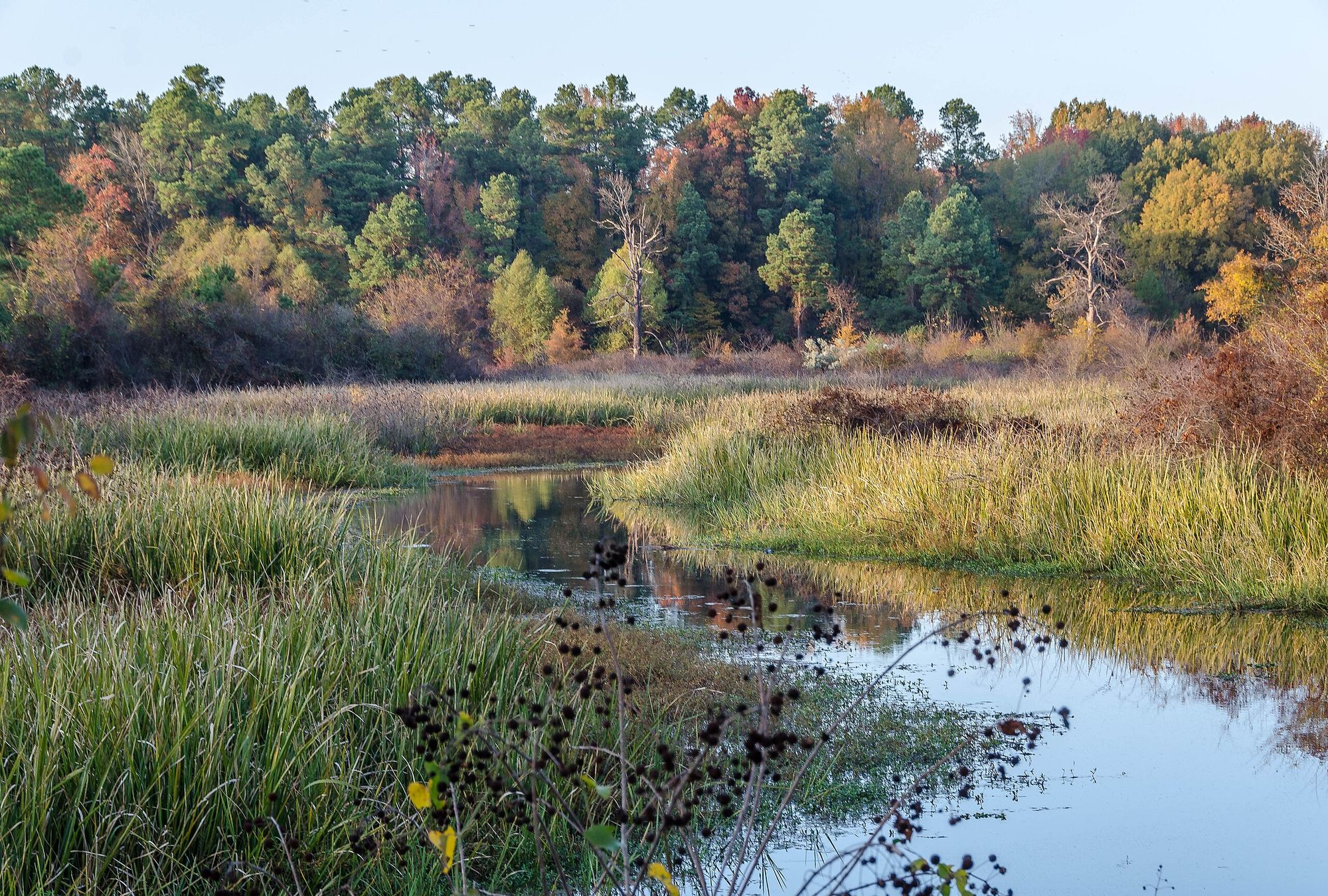
Bayou Bartholomew
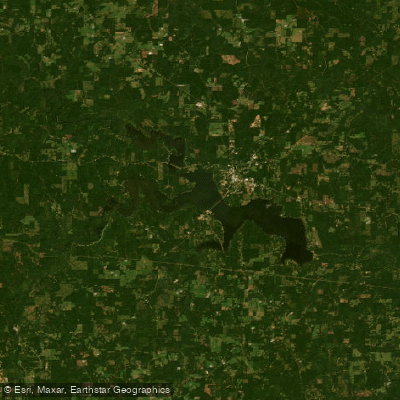
Bayou D'Arbonne Lake
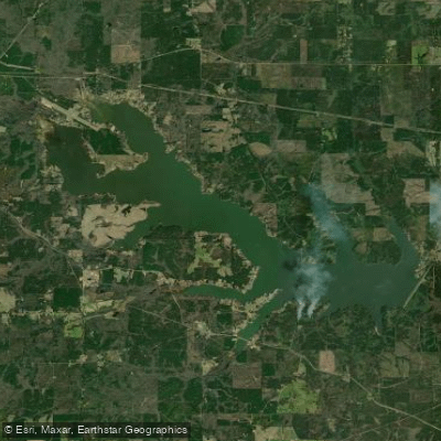
Lake Claiborne
Bayou D'Arbonne
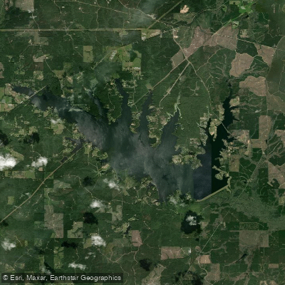
Caney Creek Reservoir
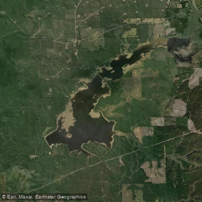
Kepler Creek Lake
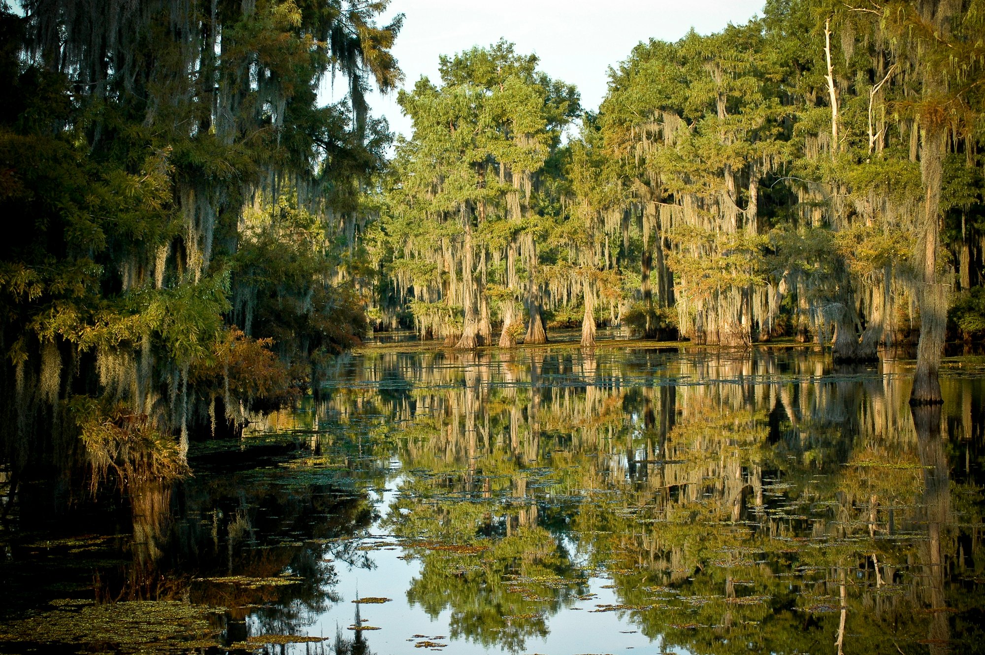
Lake Bistineau
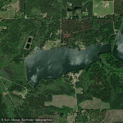
Caney Lakes
Corney Bayou
Explore Louisiana waters
Top paddling waters
Popular Cities
Loading popular cities...
Explore near Ouachita River
Access points
- Caryville Landing Boat Ramp
- McGuire Boating Access
- Old Calion Lock & Dam #8 Upper Pool Boat Ramp
- Oden Boating Access
- Lock Bend Boat Ramp
- Cherry Hill Boat Ramp
- Highway 7 Arkadelphia Boat Ramp
- Dallas County Boat Ramp
- Camden Riverwalk Boat Ramp
- Grigsby Ford Boat Ramp
- Road 99 Boat Ramp
- Blakeley Mountain Dam Tailwaters Boat Ramp
- All 695 spots
Nearby waters
More in Louisiana

Smarter Paddling Starts in the App.
Paddleways gives you everything you need to plan smarter, paddle better, and own every trip from first launch to takeout.