The Riggolets
- Saltwater
- Bay
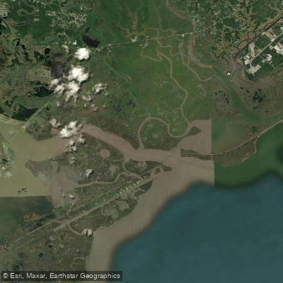
The Riggolets
- Saltwater
- Bay
- Sq. miles
- 7.9
- Boat Ramps
- 0
- Access Points
- 0
- Campsites
- 0
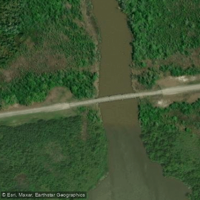
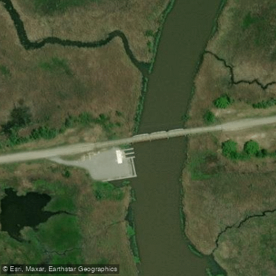
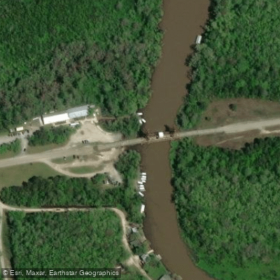
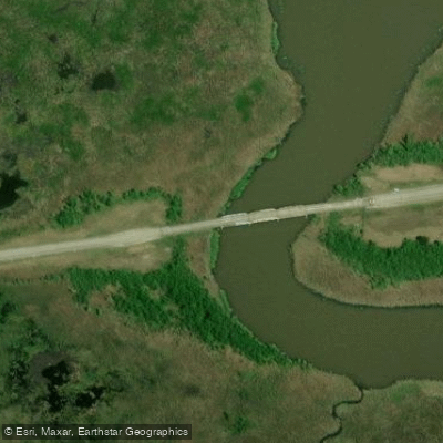
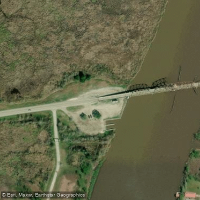
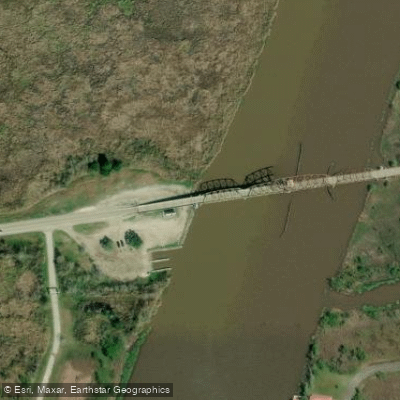
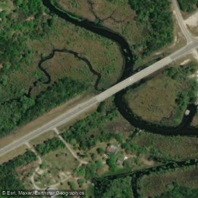
The Rigolets is a coastal tidal pass connecting Lake Pontchartrain to Lake Borgne and the Gulf of Mexico, presenting an intermediate to advanced paddling environment. The primary launch point for exploring this area is the public boat ramp at Fort Pike on the New Orleans side, specifically the now-defunct marina. Another noted launch is Rigolets Bridge North, a public boat ramp on Lake Pontchartrain near Slidell, which offers calm, flat water suitable for beginners, though this provides access to the lake rather than the pass itself. Paddling the Rigolets requires careful planning around the tides, as the movement of a large volume of water through the narrow channels creates significant currents. A typical route from Fort Pike through St. Catherine Pass and the Rigolets is 13-14 miles, and paddlers should expect to be paddling against the flow of the tide for some portion of any trip. The area is exposed, and conditions can become rough, especially with wind. The water body is a coastal saltwater marsh, and the recommended paddling season is year-round, though morning hours often offer the calmest conditions. Facilities are limited to the basic amenities at launch sites, such as parking and boat ramps. The experience is defined by its open, marshy scenery and the physical challenge of navigating tidal flows in an expansive coastal landscape.
Water access, boat ramps & amenities
Learn how to get on The Riggolets. Uncover great paddling access points, boat ramps, and all the facilities you need for an unforgettable day on the water. Some locations shown may border or include private property. Always check property boundaries and applicable regulations before visiting. PaddleWays's Public & Private Land layer can help you plan your access with confidence.
Paddle smarter with real-time insights
Whether you're en route and conditions shift or you're looking for the best spot based on current flows, we enable you to make informed decisions on the fly.








Find Places to Paddle

Over 400,000 Places to Paddle
Every user gets free access to launch points, boat ramps, and public property parcels.


Tides, wind & water conditions (10 day forecast)
On open water, wind and tide matter as much as the weather. See the best times to paddle The Riggolets and check the marine forecast before you launch.
Loading tide predictions…
Paddling near The Riggolets

Pearl River
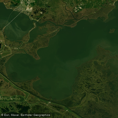
Lake Borgne

Mississippi River
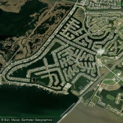
Grand Lagoon
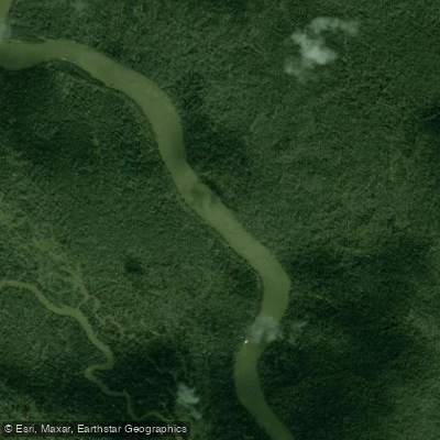
West Pearl River
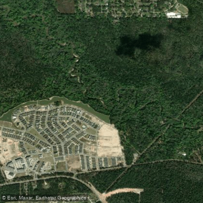
Tchefuncte River
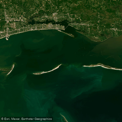
Mississippi Sound
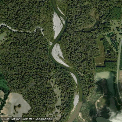
Bogue Chitto
Explore Louisiana waters
Top paddling waters
Popular Cities
Loading popular cities...
Explore near The Riggolets
Access points
Nearby waters
More in Louisiana

Smarter Paddling Starts in the App.
Paddleways gives you everything you need to plan smarter, paddle better, and own every trip from first launch to takeout.