Lake Borgne
- Saltwater
- Bay
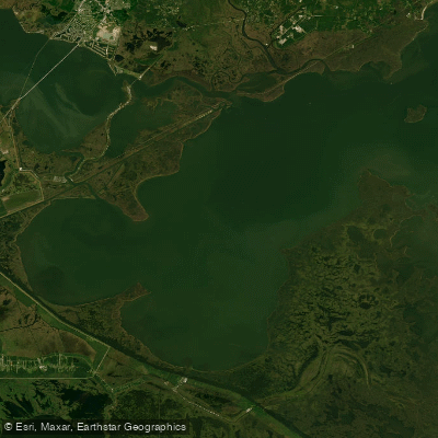
Lake Borgne
- Saltwater
- Bay
- Sq. miles
- 270
- Boat Ramps
- 0
- Access Points
- 0
- Campsites
- 0
Lake Borgne is a large coastal lagoon in southeastern Louisiana, directly connected to the Mississippi Sound. It is characterized by open, shallow saltwater with extensive adjacent marshlands. The lake is a hub for paddling trips, with access points primarily on its western and northern shores. A common launch site is at Shell Beach, where paddlers can access the lake via Bayou Yscloskey after crossing the Mississippi River Gulf Outlet (MRGO). Other potential access points include Bayou Bienvenue to the west and the area around Hopedale, which has launches into bayous that connect to the lake. Frank Campo's Marina is also a launch point for reaching Fort Proctor.
Paddling on Lake Borgne requires careful planning due to significant exposure. The lake has a direct fetch from the Mississippi Sound, making it highly susceptible to wind, which can quickly create difficult chop, especially for small boats like kayaks. Even short crossings, such as the roughly one-fifteenth of a mile from Bayou Yscloskey to Fort Proctor, can become challenging on windy days. The connecting bayous and marshes are heavily influenced by tides, so checking tide charts is essential. The area is also used by motorized boat traffic, including speedboats and fishing vessels, particularly in channels like the MRGO where paddlers must remain alert.
A primary destination for paddlers is the historic Fort Proctor, a ruined 1850s fortification now surrounded by the lake's waters approximately 230 feet from shore. The fort shell provides a point to land and explore. Further east along the lake's edge is the site of St. Malo, an old fishing settlement, now marked by a small breakwater. The surrounding Biloxi Marsh offers complex networks of bayous and ponds to explore. The Lake Borgne Surge Barrier, a major flood control structure, is present on the route via Bayou Bienvenue. The landscape is predominantly grassy marsh with few landmarks, making navigation by map difficult and a GPS highly recommended. The area is remote and conditions can change rapidly, requiring paddlers to be self-sufficient and prepared for open water.
Water access, boat ramps & amenities
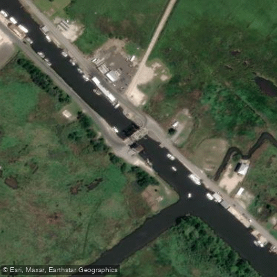
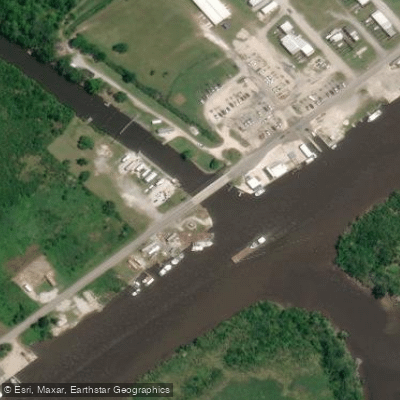
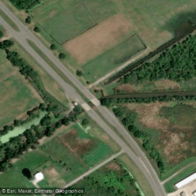
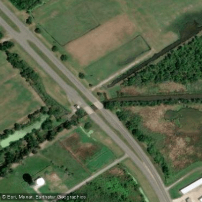
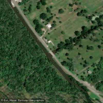
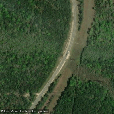
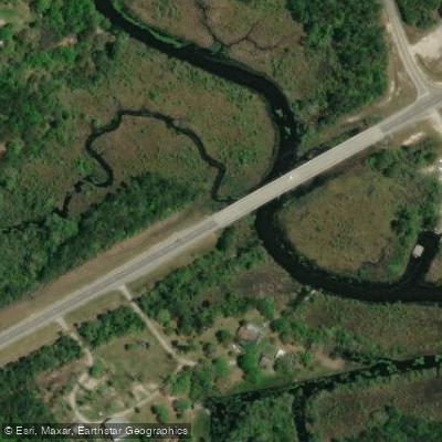
Learn how to get on Lake Borgne. Uncover great paddling access points, boat ramps, and all the facilities you need for an unforgettable day on the water. Some locations shown may border or include private property. Always check property boundaries and applicable regulations before visiting. PaddleWays's Public & Private Land layer can help you plan your access with confidence.
Paddle smarter with real-time insights
Whether you're en route and conditions shift or you're looking for the best spot based on current flows, we enable you to make informed decisions on the fly.








Find Places to Paddle

Over 400,000 Places to Paddle
Every user gets free access to launch points, boat ramps, and public property parcels.


Tides, wind & water conditions (10 day forecast)
On open water, wind and tide matter as much as the weather. See the best times to paddle Lake Borgne and check the marine forecast before you launch.
Loading tide predictions…
Paddling near Lake Borgne

Pearl River

Mississippi River
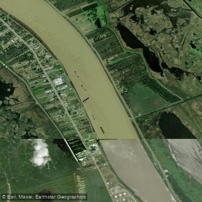
Mississippi River
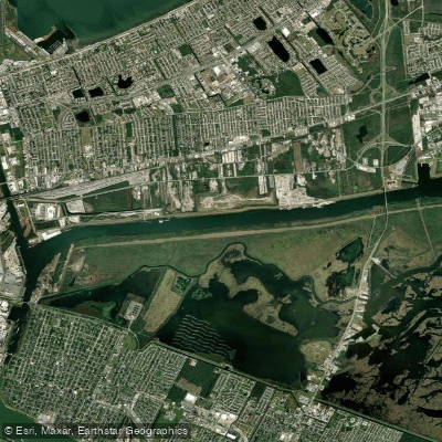
Mississippi River-Gulf Outlet Canal
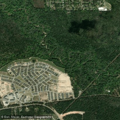
Tchefuncte River
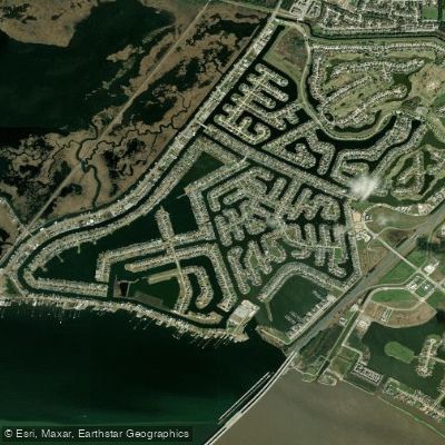
Grand Lagoon
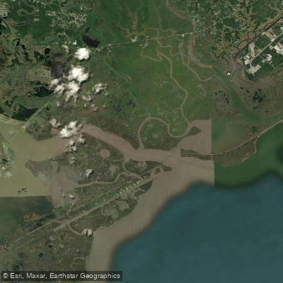
The Riggolets
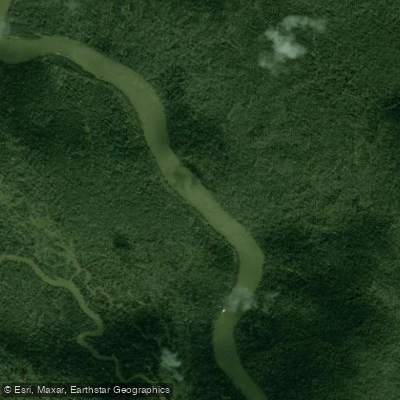
West Pearl River
Explore Louisiana waters
Top paddling waters
Popular Cities
Loading popular cities...
Explore near Lake Borgne
Access points
Nearby waters
More in Louisiana

Smarter Paddling Starts in the App.
Paddleways gives you everything you need to plan smarter, paddle better, and own every trip from first launch to takeout.