West Pearl River
West Pearl River
- Boat Ramps
- 4
- Access Points
- 4
- Campsites
- 2
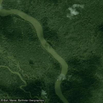
The West Pearl River is a major waterway in southeastern Louisiana, originating as an offshoot of the Pearl River near Bogalusa and flowing southward for approximately 70 miles before emptying into Lake Borgne and the Gulf of Mexico. This scenic river forms part of the border between Louisiana and Mississippi, winding through lush bottomland forests and cypress swamps. Paddling opportunities abound on the West Pearl, with several popular sections catering to various skill levels. The river offers mostly flatwater paddling, though some sections can have swifter currents during high water periods.
The Logtown Loop near Pearl River, LA provides an excellent 9.7-mile circular route for beginners and intermediate paddlers. More experienced kayakers may enjoy the 13-14 mile stretch from the Old Pearl River to the Rigolets, which features tidal influences and multiple route options through the Pearl River delta. The West Pearl is generally paddleable year-round, but spring and fall offer the most pleasant conditions. Summer can bring intense heat and increased boat traffic, while winter may see occasional cold snaps. Water levels fluctuate seasonally, with higher and faster flows typically occurring in late winter and early spring.
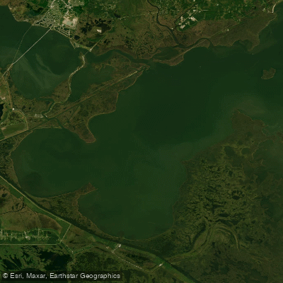
The river corridor supports a rich ecosystem, home to diverse wildlife including alligators, turtles, herons, and occasionally manatees. Paddlers can explore the pristine Honey Island Swamp, known for its towering cypress trees draped in Spanish moss. Key access points include the boat ramps at Logtown, Indian Village near Slidell, and multiple locations along Highway 90. The historic Fort Pike, located where the river meets Lake Borgne, offers an interesting stopping point rich in cultural significance.
Safety considerations include being aware of tidal influences in the lower sections, watching for submerged obstacles, and respecting private property along the banks. Paddlers should also be prepared for limited cell phone coverage in some areas. For those seeking a multi-day adventure, it's possible to combine several sections for longer trips, with primitive camping available at designated sites. The West Pearl River offers a quintessential Louisiana paddling experience, allowing visitors to immerse themselves in the natural beauty and rich history of the region.
Water access, boat ramps & amenities
Learn how to get on West Pearl River. Uncover great paddling access points, boat ramps, and all the facilities you need for an unforgettable day on the water. Some locations shown may border or include private property. Always check property boundaries and applicable regulations before visiting. PaddleWays's Public & Private Land layer can help you plan your access with confidence.
Paddle smarter with real-time insights
Whether you're en route and conditions shift or you're looking for the best spot based on current flows, we enable you to make informed decisions on the fly.








Find Places to Paddle

Over 400,000 Places to Paddle
Every user gets free access to launch points, boat ramps, and public property parcels.


Water and weather conditions (10 day forecast)
See the best times to paddle West Pearl River and check the forecast before you go.
Pearl River at Pearl River, LA
All Flow Stations
Paddling near West Pearl River

Pearl River
Lake Borgne

Mississippi River
Grand Lagoon
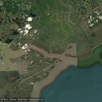
The Riggolets
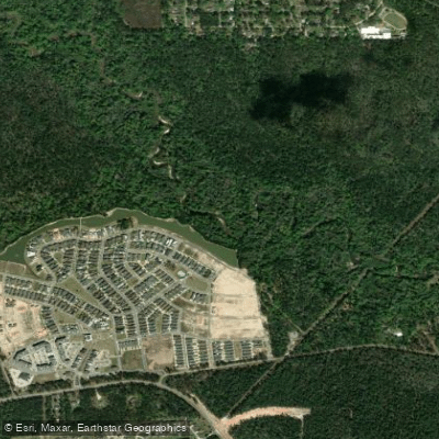
Tchefuncte River
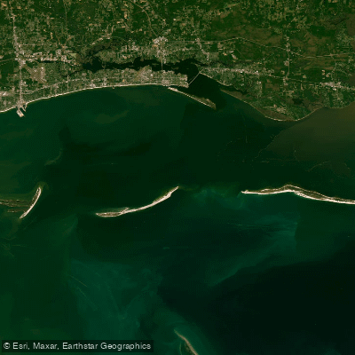
Mississippi Sound
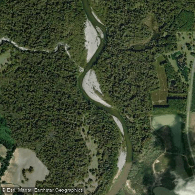
Bogue Chitto
Explore Louisiana waters
Top paddling waters
Popular Cities
Loading popular cities...
Explore near West Pearl River
Access points
Nearby waters
More in Louisiana

Smarter Paddling Starts in the App.
Paddleways gives you everything you need to plan smarter, paddle better, and own every trip from first launch to takeout.