Brooke C.
Beautiful paddle! Some low points, low current most of the route. Saw lots of wildlife and no other people!
Curated by PaddleWays
7.7 mi flatwater route on the Sandy River in Maine
Level right now
Route facts
Narrow trail to put-in
About this route
This 7.7-mile section of the Sandy River offers an exciting paddling experience through scenic Maine countryside. The run features a mix of calm water and mild Class I-II rapids that provide an enjoyable challenge without being too difficult.
Expect lots of rips and small rapids that keep things interesting throughout the journey. This stretch is perfect for those looking for a fun, yet not overly challenging experience.
The put-in at Fairbanks may involve a narrow trail leading down to the river, so be prepared for a somewhat tricky river access.
Put-in and take-out
Put-in
Take-out
Hazards
No hazards are marked on Fairbanks to Farmington Falls yet. That is not the same as none being there: if you find one, report it for the next paddler.
From the community
Real trips from PaddleWays paddlers who ran this route: how the flows were, and what to watch for.
Loading trip reports
Brooke C.
Beautiful paddle! Some low points, low current most of the route. Saw lots of wildlife and no other people!
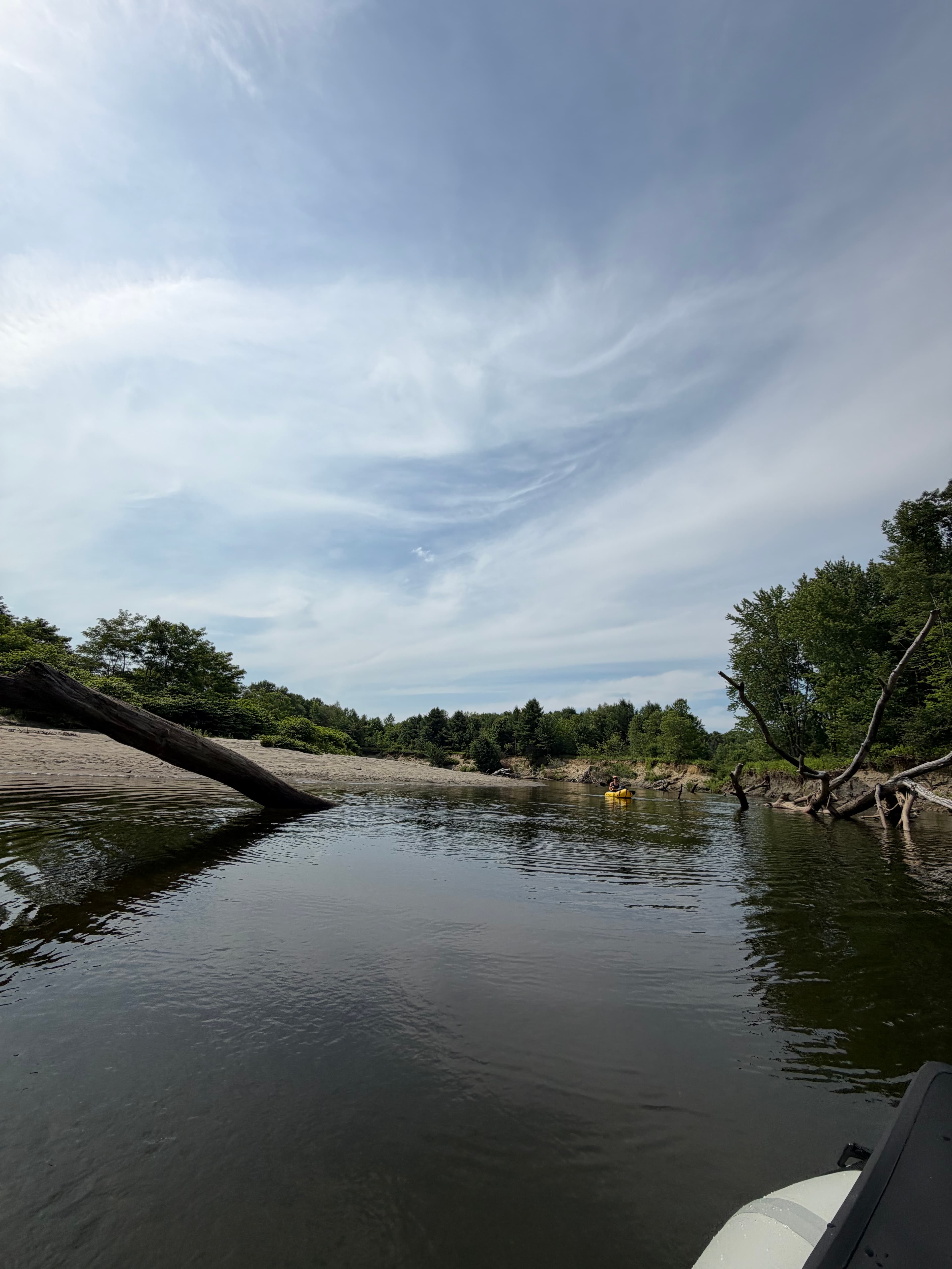
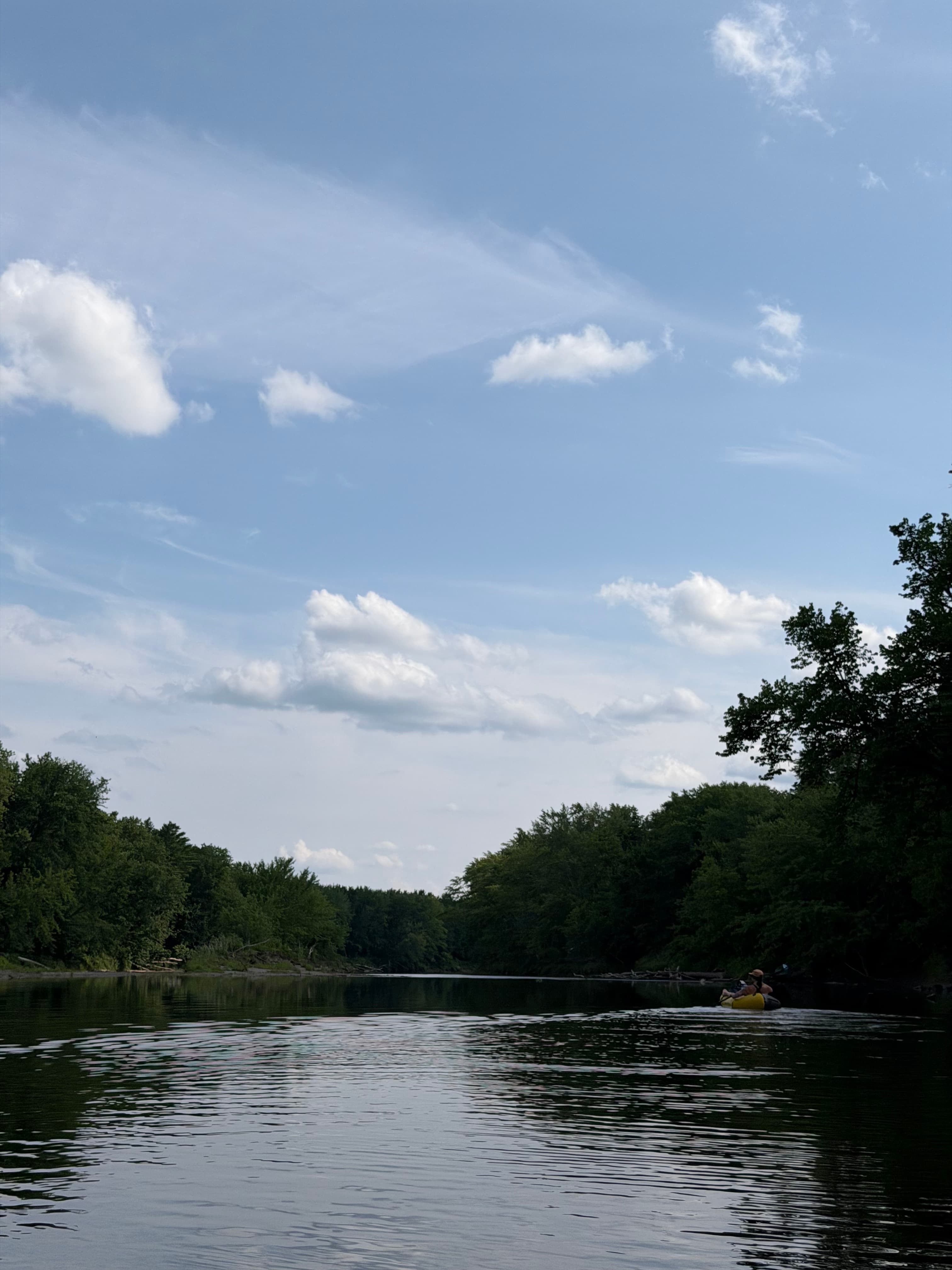
The gauges near Fairbanks to Farmington Falls and the forecast where it starts, so you can pick your day.
No forecast data available.
Same water
The other curated routes on the Sandy River, each with how it is running now.
RouteClass II–III
RouteClass II–III
Close by
Curated routes on other waters within an hour or so, nearest first.
on Kennebec River · 17 mi away
RouteClass I–IV
on Swift River · 21 mi away
RouteClass II–III
on Kennebec River · 23 mi away
RouteClass I
RouteClass II
on Androscoggin River · 29 mi away
RouteClass I
on Sebasticook River · 29 mi away
RouteFlatwater
PaddleWays gives you everything you need to plan smarter, paddle better, and own every trip from first launch to takeout.
