Curated by PaddleWays
RouteFlatwater
- Distance
- 5.4 mi
- Paddle time
- ~2 hrs
- Best for
- Kayak, canoe
- Put-in → take-out
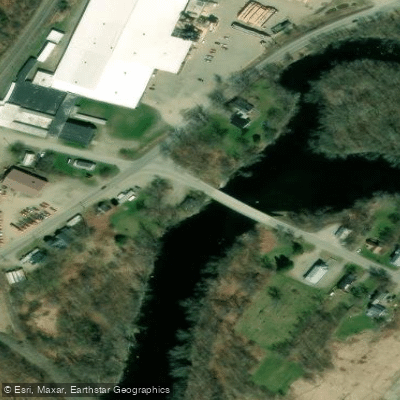
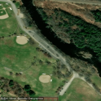
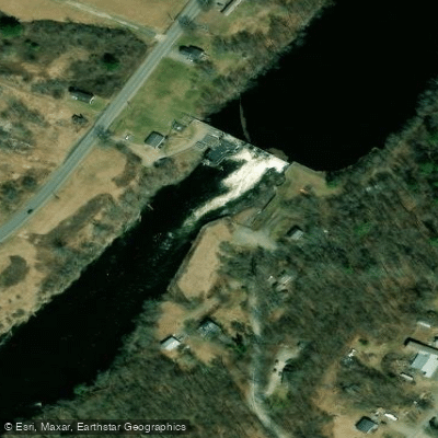
- Benton Falls Hand Launch → Fort Hallifax Park Hand Launch
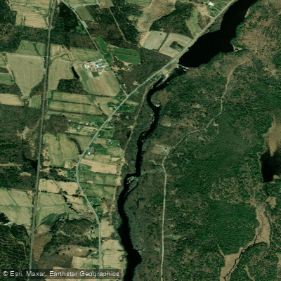
The Sebasticook River is a major tributary of the Kennebec River in central Maine, flowing approximately 75 miles from its headwaters near Dexter to its confluence with the Kennebec in Winslow. The river system consists of two main branches - the East Branch and West Branch - which join near Pittsfield to form the main stem. Paddling opportunities abound on the Sebasticook, with sections suitable for various skill levels. The upper reaches offer mostly flatwater paddling through rural landscapes, while the lower sections feature Class II-IV rapids, particularly between Clinton and Benton Falls.
Popular paddling routes include the 9-mile stretch from Pittsfield to Burnham (Class II-III), the 2.7-mile whitewater run from Clinton to Benton Falls (Class II-III), and the scenic 6-mile flatwater section from Benton Falls Dam to the Kennebec River confluence. The river's difficulty ranges from calm flatwater to challenging Class IV rapids, accommodating beginners to experienced whitewater paddlers. Spring and early summer typically offer the best water levels for paddling, especially for the more challenging sections.
The Sebasticook Valley supports diverse wildlife, including bald eagles, great blue herons, and various waterfowl. The river is also known for its significant alewife runs, particularly visible at the Benton Falls Dam fish ladder. Key landmarks include the Pittsfield Dam, Burnham Dam, and Benton Falls Dam. Historic mill towns like Clinton, Burnham, and Benton offer glimpses into the region's industrial past. The Fort Halifax Park in Winslow, near the river's mouth, is a significant historical site.
Primary access points include Mainstream (near Harmony), Pittsfield (Waverly Avenue Bridge), Clinton (Mill Park), Benton (below Benton Falls Dam), and Winslow (Fort Halifax Park). These locations provide convenient put-in and take-out options for various trip lengths.
The Sebasticook played a crucial role in Maine's history, powering mills and supporting local industries. Today, it's an important site for river restoration efforts, with dam removals and fish passage improvements benefiting migratory fish populations. Paddlers should be aware of dam locations and required portages. The Benton Falls Dam, in particular, requires a mandatory portage. As with all river trips, checking current water levels and weather conditions is essential for a safe paddling experience.
For those seeking multi-day adventures, it's possible to combine sections for longer journeys, such as paddling from Pittsfield to Winslow over 2-3 days, camping at designated sites along the way. This allows for a comprehensive exploration of the Sebasticook's varied landscapes and paddling conditions.
Curated routes
Hand-picked by the PaddleWays team, with put-ins, take-outs, paddle times and the hazards along the way.
RouteFlatwater
RouteClass II–III
Hazards
No paddler has reported a hazard here yet, so these are the dams, falls and big rapids on our map. Hazards change with flows and storms, so check them before you launch.
From the community
Nobody has shared a trip on Sebasticook River yet. Paddle it, then tell the next paddler how it went.
Ian M. •
Beautiful!!! I was ton of eagles. It’s best run in the spring, it gets shallow in the summer.
See exactly where the public can get on and off the river. Launch points and boat ramps are paired with PaddleWays' public land data so you know where you can legally land.
Public shoreline
0%of the river's shoreline is public
Most of the riverbank is private. Launch, land and camp only at public access points.
Flows, weather and a route-by-route verdict, so you know which stretch of the Sebasticook River is worth paddling today.
No forecast data available.
Live flows, marked hazards and fresh trip reports from paddlers who were just on the water, all in one place.





Every user gets free access to launch points, boat ramps, and public property parcels.










Loading popular cities...
PaddleWays gives you everything you need to plan smarter, paddle better, and own every trip from first launch to takeout.